Geo 第8页
Geology & Exploration,Drilling And Workover softwares.

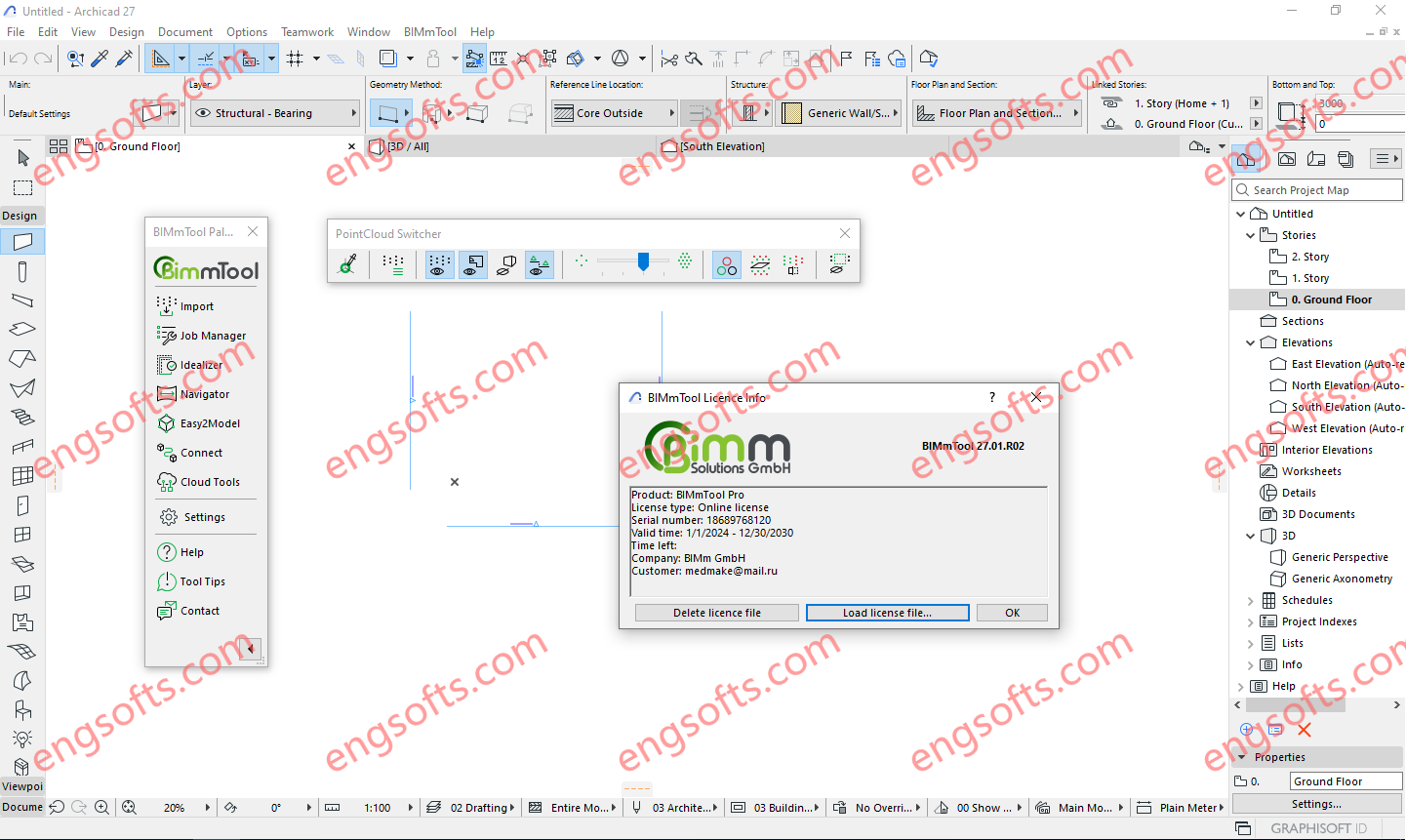
BIMmTool is a fully integrated Archicad add-on for reading, navigating, and generating high-quality BIM models from point clouds. BIMmTool integrates itself into the Archicad interface and ensures a hassle-free workflow in modeling from scans, adopting Archicad’s working method and toolset. New point cloud import The new point cloud import offers a multitude of highlights, including multiprocessing, block sampling at various resolutions, insertion according to the Archicad survey point, automatic placement of scans on floors, and a reduction in project sizes by up to 90%. NEW New point cloud import The new point cloud import offers a multitude of highlights, including multiprocessing, block sampling at various resolutions, insertion according to the Archicad survey point, automatic placement of scans on floors, and...
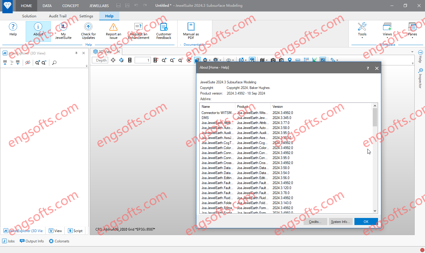
The JewelSuiteTM Subsurface Modeling application constructs the industry’s most accurate 3D subsurface models, optimizing well placement, streamlining planning, and reducing investment risk. Baker Hughes JewelSuite Subsurface Modeling 2024.3 Tested Picture Highlights Optimal well placement By avoiding significant simplifications, our unique gridding methodology builds a realistic 3D picture of subsurface geology. Perform accurate, high-resolution gridding Optimize production and recovery with fewer wells Mitigate geological risk Faster, more collaborative planning Integrated into a single application, our guided workflows present the subsurface from any angle or assess any risk—at the click of a button. Utilize fast and efficient automated digital workflows Quickly integrate cross-discipline data and insights Transfer data without loss between workflows Reduced investment risk Our software simulates and compares complex combinations of...
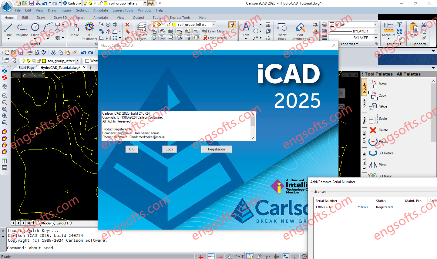
Carlson iCAD is an affordable CAD program that is .dwg file based and designed to fit into your production workflow. Carlson iCAD allows drafters to finish drawings and engineers to review drawings. Carlson iCAD 2025 Tested Picture Carlson iCAD allows drafters to finish drawings and engineers to review drawings. Key Features 2D and 3D CAD package Works with both .dwg and .dgn files Built on IntelliCAD® 11 engine Carlson Software drafting and annotation tools Perpetual license Free tech support General Open/Save .dwg, .dgn and .dxf files: Supports 2017 and earlier formats Import/Export: Transfer other format models including .pdf, .iges and .step Plot: Output to printers and PDF Google Earth: Import and Export KML/KMZ Civil 3D: Convert Civil 3D custom objects to...
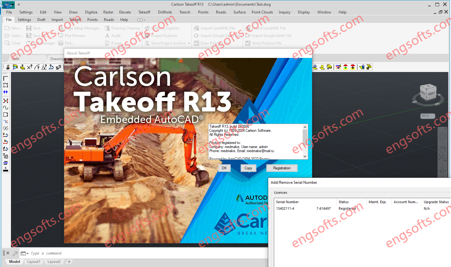
Carlson Takeoff with embedded AutoCAD (OEM) includes the same functionality as the Takeoff Suite and modules Carlson Construction, Carlson CADnet, Carlson GeoTech & Carlson Trench except that it includes an embedded version of the current AutoCAD OEM software and different menu configuration. Carlson Construction serves as the cornerstone of Carlson’s suite for contractors, offering comprehensive volume reporting and visualization tools to ensure accurate project management. Carlson Takeoff Suite R13 Tested Picture With features like 3D Drive Simulation and seamless integration with CAD platforms, Carlson Construction streamlines road construction and facilitates seamless transition to fieldwork, ensuring precise stakeout and machine control implementation. Carlson CADnet empowers users to seamlessly transform non-CAD documents like PDFs and raster images into CAD format, with tools for cleaning...
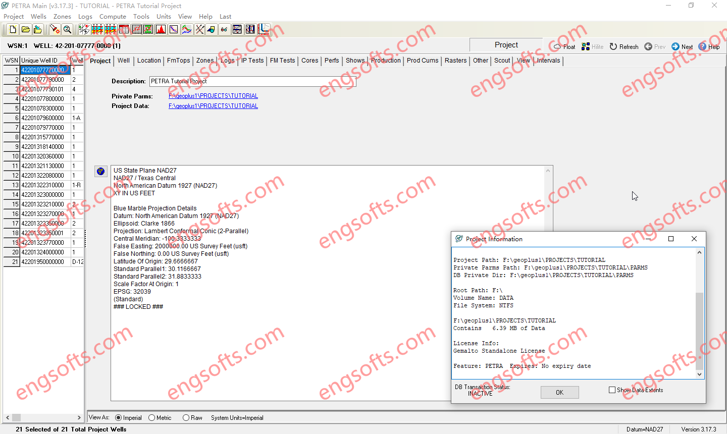
Petra is a cost-effective software solution for managing, manipulating and visualizing integrated geological, geophysical and engineering data. Geologists, engineers, technicians and analysts use Petra for exploration, exploitation, infill drilling, reserves analysis, unconventional plays, production analysis and more. With Petra, you can quickly visualize results using mapping, cross-sections, seismic interpretations, log plots, cross-plots, production and reservoir analysis, and 3D visualization. To maximize your subscription, S&P Global offers technical support as well as Petra training courses at select locations and on site, by request. IHS Petra v3.17.3 Tested Picture Key features of the Mapping Module include: Integrate surface land picture into your subsurface interpretations Post digital/raster log curves and production data to well location Create and customize contour and bubble maps Display...
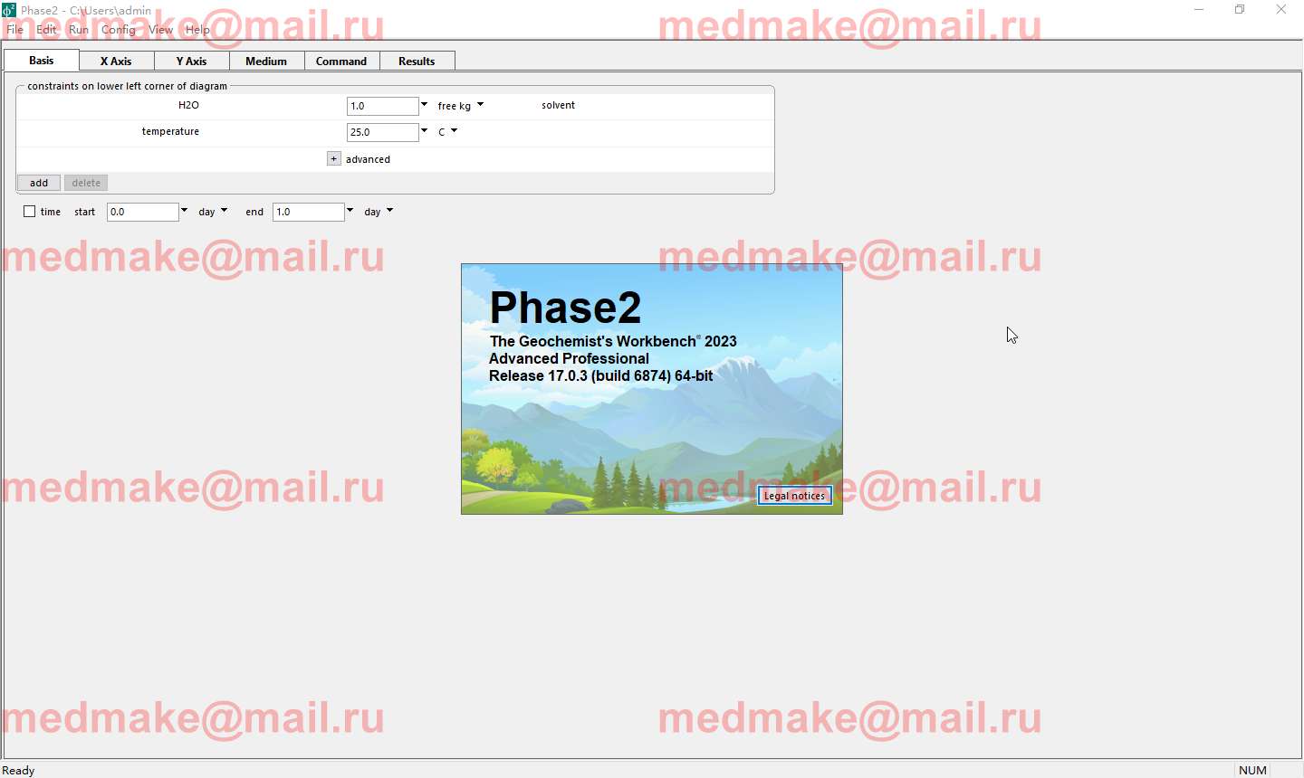
The Professional edition of The Geochemist’s Workbench 2023 is the complete suite of tools to meet every practicing geochemist’s needs. GWB Pro is your choice for computing phase diagrams and modeling reactive transport. One-dimensional and two-dimensional simulations of reactive transport in single and dual-porosity media, including bioreaction, stable isotopes, and migrating colloids, are a snap. Then animate your results and create video clips with a few clicks. Geochemist’s WorkBench(GWB) Professional 2023 v17.0.3 Tested Picture GWB Pro’s advanced algorithms and multithreaded design make it ideal for simulating the fate and transport of contaminants in flowing ground and surface water. In addition to reactive transport, GWB Pro models kinetic and equilibrium reaction in multicomponent systems, calculates Eh-pH and activity diagrams, and creates a spectrum of specialty plots. You can balance reactions, calculate equilibrium constants,...
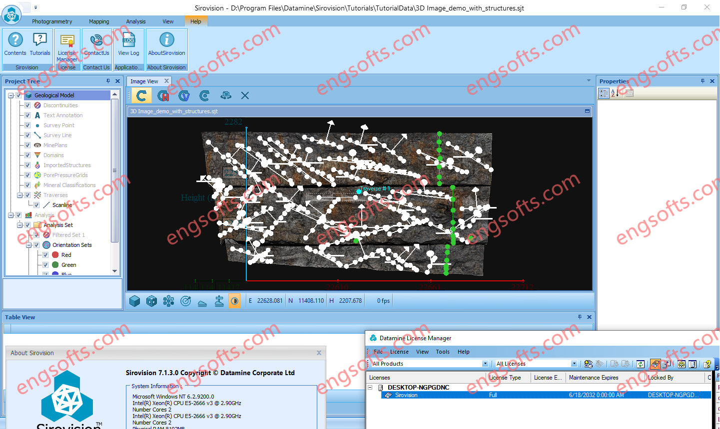
Sirovision is a geological / geotechnical mapping and analysis system that generates accurate, scaled 3D images of rock faces from stereo photographs taken in either open pit or underground environments. Sirovision allows mining professionals to quickly and accurately: Datamine Sirovision 7.1.3 Tested Picture Map structures daylighting at the surface to automatically determine their properties Automatically detect simple wedge and complex block features resulting from the structures Perform analyses to determine the failure risk Increase productivity and safety
HxMap is a high-performance multi-sensor workflow platform that provides a fast, intuitive, and efficient post-processing workflow. It is used to produce geospatial data products within one single interface. It provides production tools that take raw flight datasets all the way through deliverable products refining radiometry and geometry along the process. Leica HxMap 2024 v4.5 Main features DMCIII sensor system support in Blockwide Radiometry Performance is improved for lidar point cloud colorization New Image Index Viewer to assess individual nadir images in Blockwide Radiometry Oblique overviews added to Radiometry Setup – Build Overviews
Correlator3D is a patented end-to-end photogrammetry solution for the generation of high-quality geospatial data from satellite and aerial imagery, including drones. Correlator3D performs aerial triangulation (AT) and produces dense digital surface models (DSM), digital terrain models (DTM), point clouds, orthomosaics, 3D models and vectorized 3D features. Powered by GPU technology and multi-core CPUs, Correlator3D™ ensures matchless processing speed to support rapid production of large datasets.
WipFrag™ 4 Image Analysis Software provides instant PSD analysis of digital images collected at the muckpile after a blast, a closer up sample of a stockpile, a laboratory sample or even drone/UAV images. With auto-scaling capabilities, WipFrag 4 is safe, cost effective and the most accurate fragmentation analysis tool in the world. The WipFrag Advantage BlastCast blast forecast module included Image analysis across multiple platforms Credits will never expire and are transferrable Controls 6th generation Conveyor and Vehicle Analysis Systems Intuitive multi-language interface.