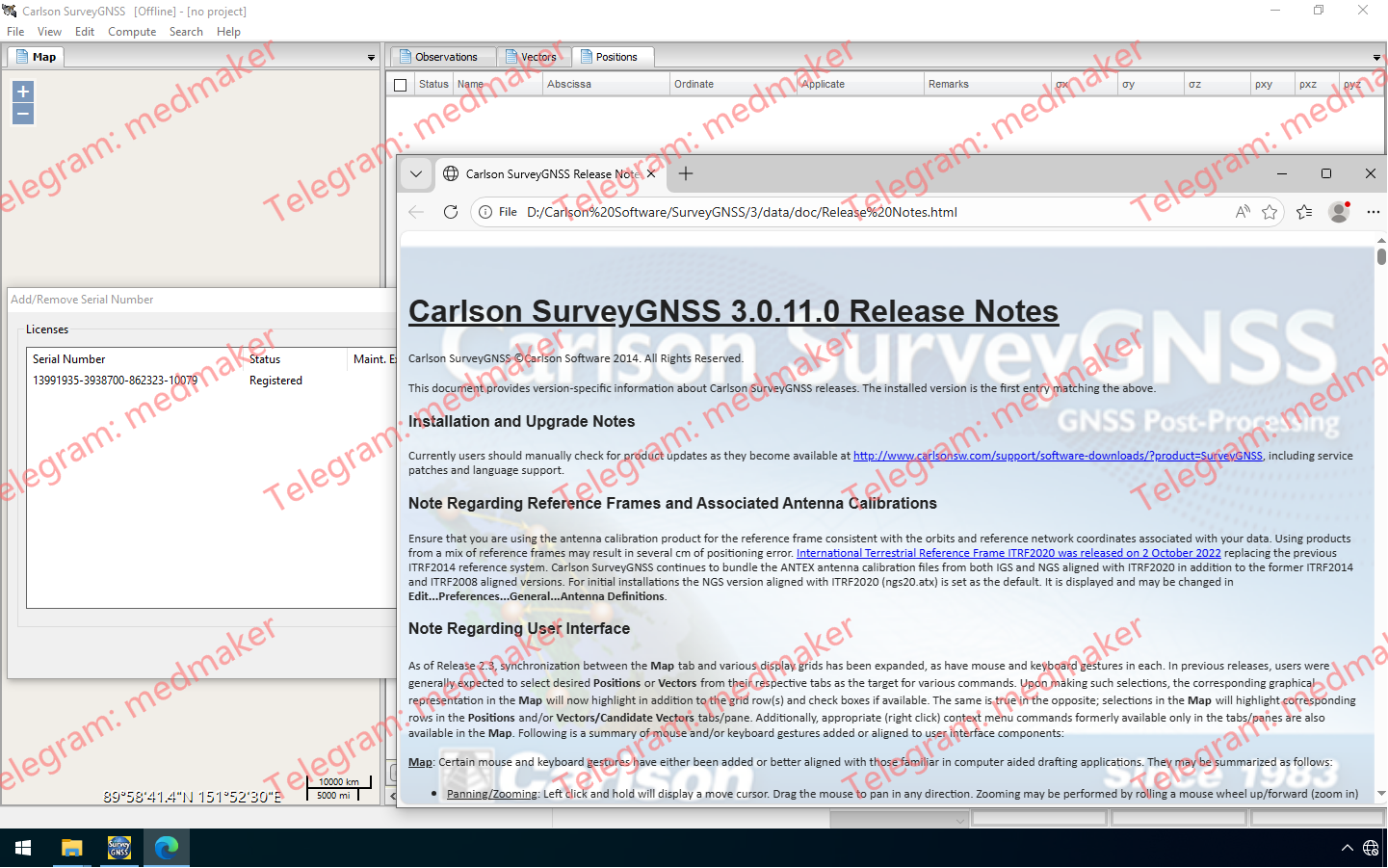
Carlson SurveyGNSS 后处理软件是一款可靠而精确的工具,适用于所有后处理应用,并与 Carlson 现场和办公室工作流程紧密集成。 Carlson SurveyGNSS 2026 v3.0.11.0 SurveyGNSS 是一款简单而强大的 GNSS 后处理桌面解决方案,可帮助土地测量员充分利用其 GNSS 数据。SurveyGNSS 3.0 版本新增功能和改进包括: 多线程处理选项同时处理多条基线,节省时间。 处理采样间隔选项将处理器使用的采样间隔设置为 5、15、30 或 180 秒,以覆盖记录的采样间隔。此选项使 SurveyGNSS 能够更快地处理以 1 秒间隔采集的长时间数据文件。 基线处理记录视图右键单击候选矢量列表中显示的已处理矢量或单击“已处理矢量”选项卡,即可查看此新的记录视图。 NGS CORS 数据选项现在,已了解自己首选 NGS CORS 的用户可以通过输入 CORS ID 来进行选择。 SurveyGNSS 将根据用户在项目中已有的数据检索 CORS 数据,而不是使用整个 24 小时的文件。 More Information in English:Carlson SurveyGNSS 2026 v3.0.11
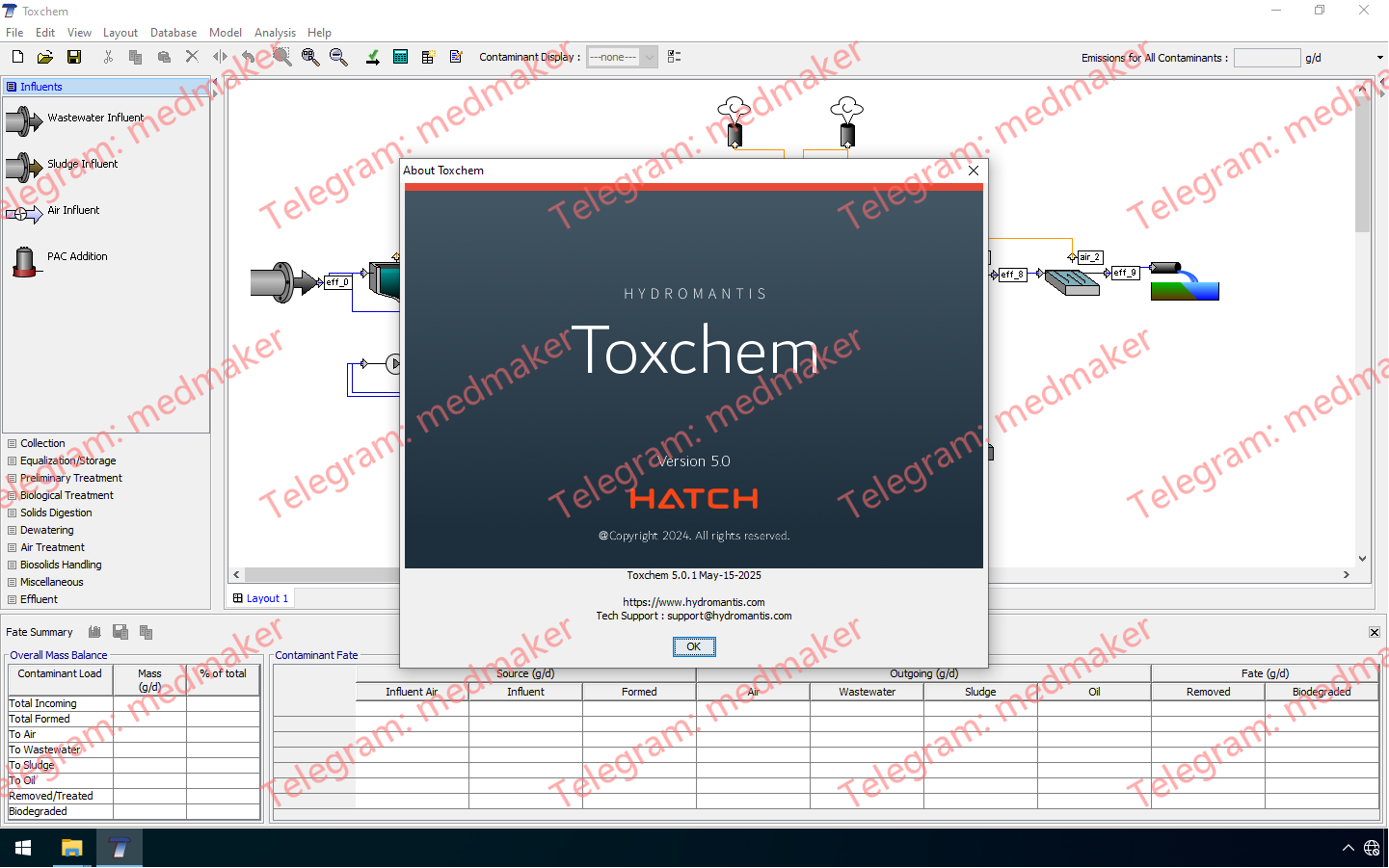
Toxchem 主要用于估算废水收集、初步/一级/二级处理和处置设施的 VOC 空气排放量。 可用版本: 5.x ,… Hydromantis Toxchem 2025 v5.0 Tested Picture 高级功能: VOC/HAP 排放的监管报告(美国环保署《清洁空气法修正案》和 SARA 报告)。 规划、设计和优化工艺方案以减少空气排放。 生物固体处置管理研究。 估算最大允许进水浓度,以避免违反排放限值、健康和安全标准。 跟踪污染物质量平衡和库存。 识别处理运输废物可能产生的空气和废水问题。 More Information in English:Hydromantis Toxchem 2025 v5.0
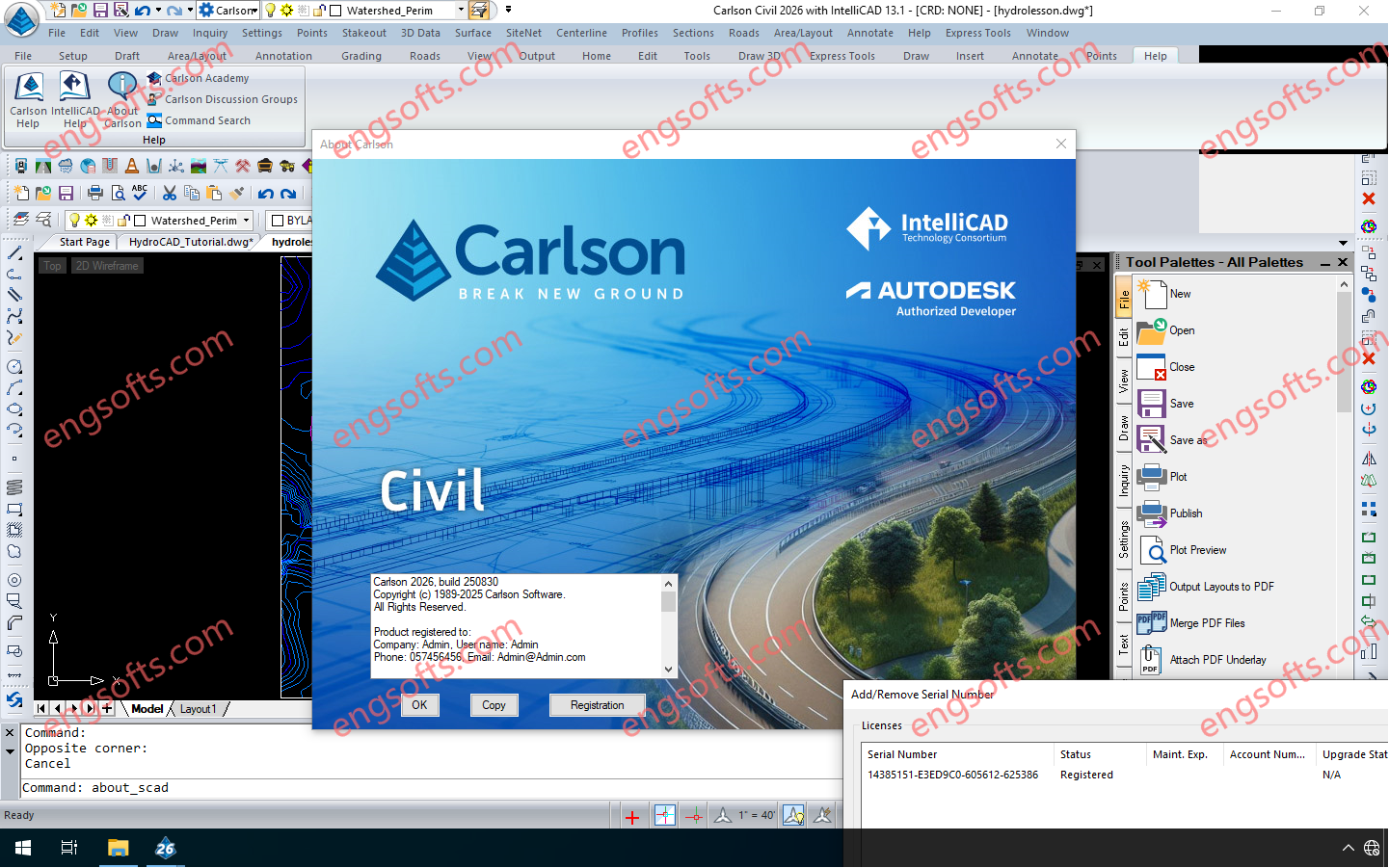
Carlson 2026 is application software for land development, civil engineering, surveying, construction, GIS and mining engineering which runs with AutoCAD and IntelliCAD. The CAD engine serves as the graphics engine and drawing editor for Carlson. Carlson Survey/Civil/Mining Suite 2026 Tested Picture Carlson 2026 consists of the following programs: Survey, Civil, Hydrology, GIS, Field, GeoTech, Trenching, CAD Net, Construction, Natural Regrade, Point Clouds, Geology, Underground Mining and Surface Mining. Each of these programs can run independently or together with each other. Carlson 2026 products can be installed with (included) IntelliCAD 13.1 and 12.1 or on top of your separately purchased license of AutoCAD 2019-2026. Click here to download a PDF of improvements in Carlson 2026 products.
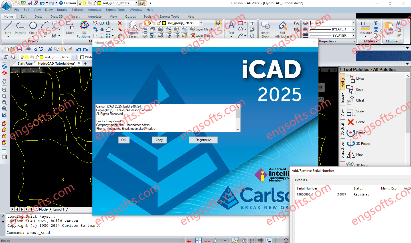
Carlson iCAD is an affordable CAD program that is .dwg file based and designed to fit into your production workflow. Carlson iCAD allows drafters to finish drawings and engineers to review drawings. Carlson iCAD 2025 Tested Picture Carlson iCAD allows drafters to finish drawings and engineers to review drawings. Key Features 2D and 3D CAD package Works with both .dwg and .dgn files Built on IntelliCAD® 11 engine Carlson Software drafting and annotation tools Perpetual license Free tech support General Open/Save .dwg, .dgn and .dxf files: Supports 2017 and earlier formats Import/Export: Transfer other format models including .pdf, .iges and .step Plot: Output to printers and PDF Google Earth: Import and Export KML/KMZ Civil 3D: Convert Civil 3D custom objects to...
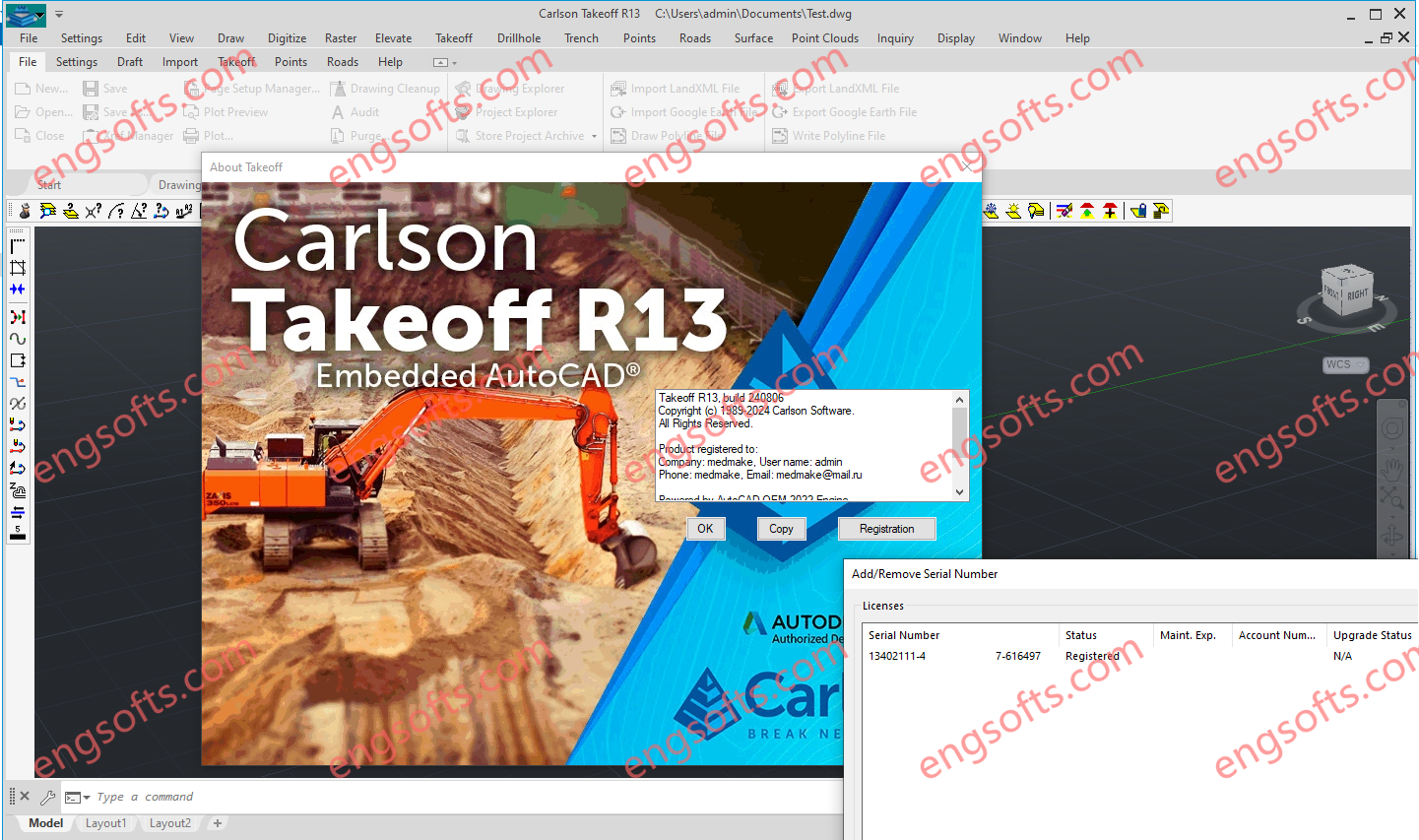
Carlson Takeoff with embedded AutoCAD (OEM) includes the same functionality as the Takeoff Suite and modules Carlson Construction, Carlson CADnet, Carlson GeoTech & Carlson Trench except that it includes an embedded version of the current AutoCAD OEM software and different menu configuration. Carlson Construction serves as the cornerstone of Carlson’s suite for contractors, offering comprehensive volume reporting and visualization tools to ensure accurate project management. Carlson Takeoff Suite R13 Tested Picture With features like 3D Drive Simulation and seamless integration with CAD platforms, Carlson Construction streamlines road construction and facilitates seamless transition to fieldwork, ensuring precise stakeout and machine control implementation. Carlson CADnet empowers users to seamlessly transform non-CAD documents like PDFs and raster images into CAD format, with tools for cleaning...