Geo 第6页
Geology & Exploration,Drilling And Workover softwares.

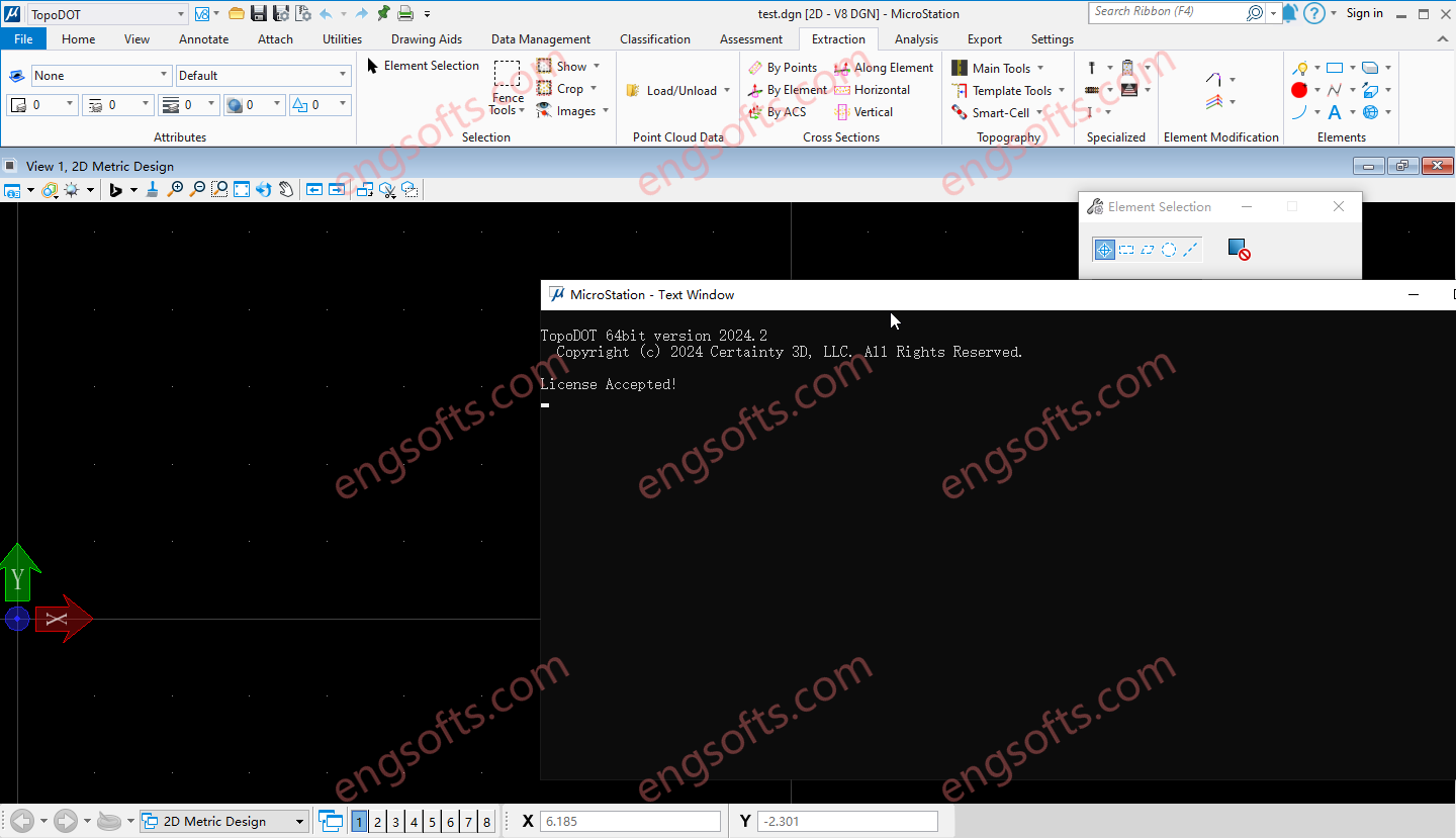
TopoDOT is a comprehensive solution to manage point cloud data, assess data quality and extract topographies, models, analyses and other forms of digital twins. Geospatial data acquired along road, rail, utility and other land survey applications present unique processing challenges. The TopoDOT production process is designed to meet these challenges with the right balance between automation and quality, thereby ensuring complex project requirements are met at the lowest possible cost. Available versions: 2025.x , 2024.x , 2023.x ,… Requirement:MicroStation CONNECT Update 15+ Certainty3D TopoDOT 2024.2 For Microstation Tested Picture Road TopoDOT realizes the inherent value of point cloud data acquired along road and highway transportation corridors. Intuitive yet highly automated tools extract complex features quickly and accurately. A quality-controlled process...
Reconcilor 9.10 delivers a major upgrade focused on usability, data integrity, and flexibility of analysis across the mining value chain. A key new feature in this version is the Embedded Analysis, which lets you host dashboards from analytics and business intelligence tools like Power BI or Tableau within Reconcilor. This helps centralise reporting and eliminates the need to switch between platforms. The Data Approval workflow has been extended to handle approvals at both global and site levels, improving traceability and control over key datasets. Updates to the Continuum screen introduce a more adaptive layout, clearer label display, and new controls for selecting visible metrics—making it easier to work with complex comparison data. The Grade Block screen has also been enhanced,...
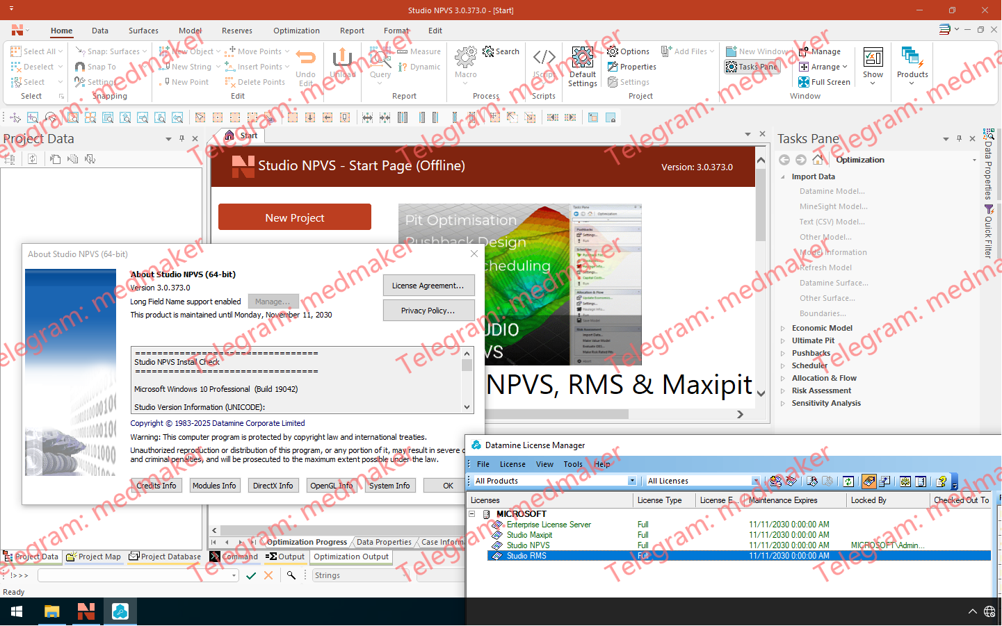
Datamine Studio NPVS 3.0 引入了强大的全新 Datamine .dmx 文件格式,并显著提升了易用性、可视化效果和流程效率,从而简化您的数据挖掘工作流程。 Datamine Studio NPVS 2025 v3.0 此次发布,Datamine 正式推出 .dmx 格式,取代了沿用已久的 .dm 文件系统。.dmx 格式文件更小,支持多达 2048 列,并能与现有工作流程和脚本无缝集成。您可以无缝读取 .dm 和 .dmx 文件,并且新版本还包含批量转换工具,方便您高效地迁移项目。此外,新格式还引入了表标记功能,允许您将模型状态或空间上下文元数据直接嵌入到文件中。 绘图工具经过全面改进,显著提升了易用性。现在,每个绘图项都拥有独立的上下文相关功能区,方便您快速访问相关工具,无论是编辑指北针、标题框、图例还是比例尺。借助全新的单元格管理器,管理标题框中的表格内容也更加便捷。“绘图(管理)”和“绘图(查看)”功能区已合并,带来更简洁的操作体验。 3D 窗口渲染功能也得到了优化,采用了更智能的数据显示控件,包括自动场景裁剪和按需渲染设置,确保大型数据集对性能的影响降至最低。 其他亮点包括:基于场景的文本导入器,支持导入多个具有独立配置的文本文件(由全新的 INTEXT 进程提供支持);以及 COMBTRI 等命令的改进,可一次性追加多达 20 个线框。此外,本次重大版本更新还包含多项性能、脚本和界面方面的改进,确保您的战略规划和报告工作流程保持快速、灵活,并能应对未来数据的复杂性。 相关文档: Studio NPVS Help (3.0) Studio NPVS 3.0 Release Notes (PDF) More Information in English: Datamine Studio NPVS 2025 v3.0
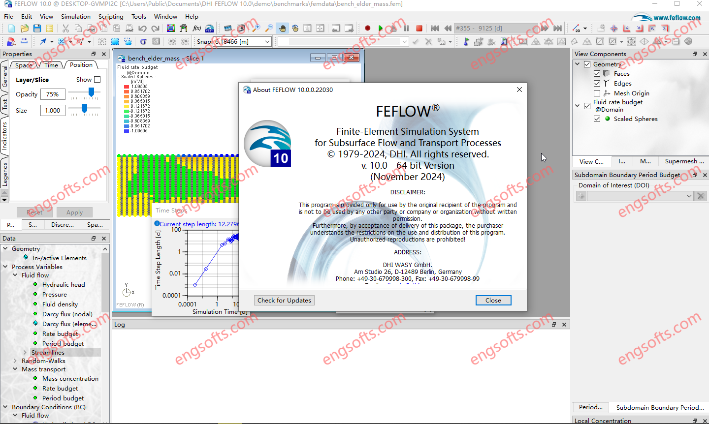
FEFLOW 10 delivers features to streamline modelling workflows, enhance visualisation and support advanced applications. Highlights include a new implicit modelling workflow for constructing geologically meaningful surfaces and structural models with ease and advanced map projection tools with online background maps for improved visual clarity. The release also introduces an extended Equation of State (EOS) for evaluating phase conditions in deep geothermal models and a streamlined standard transport formulation with an extended ‘Convective Form’ to simplify transport modelling across diverse applications, including direct Lithium extraction, aquifer remediation and geothermal storage and direct use. Available versions: 10.0.x , 8.1.x , 8.0.x ,… DHI FEFLOW 2025 v10.0 Tested Picture In this major release, FEFLOW 10.0 comes with a number of exciting new software features focusing...
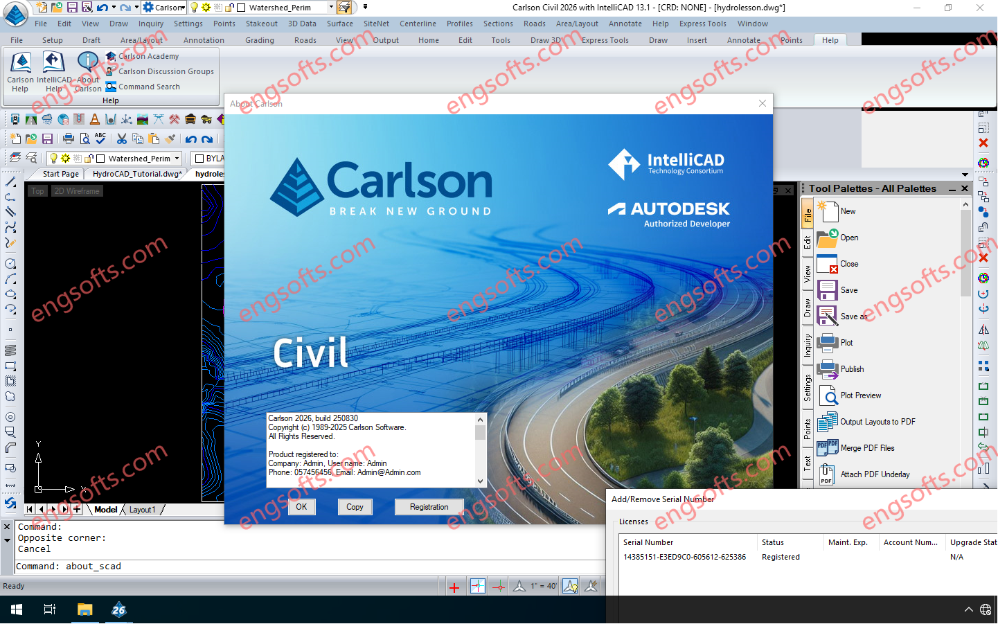
Carlson 2026 is application software for land development, civil engineering, surveying, construction, GIS and mining engineering which runs with AutoCAD and IntelliCAD. The CAD engine serves as the graphics engine and drawing editor for Carlson. Carlson Survey/Civil/Mining Suite 2026 Tested Picture Carlson 2026 consists of the following programs: Survey, Civil, Hydrology, GIS, Field, GeoTech, Trenching, CAD Net, Construction, Natural Regrade, Point Clouds, Geology, Underground Mining and Surface Mining. Each of these programs can run independently or together with each other. Carlson 2026 products can be installed with (included) IntelliCAD 13.1 and 12.1 or on top of your separately purchased license of AutoCAD 2019-2026. Click here to download a PDF of improvements in Carlson 2026 products.
The Trimble Inpho UASMaster software module combines ease of use with the full power of a photogrammetric workstation. Create powerful deliverables from images collected with UAS (Unmanned Aircraft Systems) aerial mapping and surveying systems. Available versions: 15.x , 14.x ,… https://engsofts.com/wp-content/uploads/2025/08/Trimble.UASMaster.15.1.1.mp4 Trimble UASMaster 2025 v15.1.1 Tested Video Users of UASMaster version 15 gain a competitive advantage by delivering projects with higher accuracy and quality, setting a new standard in the industry. Precise Modeling The introduction of RealRay technology in version 15 ensures the highest level of precision achieved in georeferencing, significantly reducing errors caused by environmental factors. RealRay technology is integrated into the complete mapping workflow (nadir imagery) allowing high-altitude flights, oblique flights, or challenging mountainous terrain. UASMaster delivers consistent...
Trimble Photogrammetry including ApplicationsMaster, MATCH-AT, MATCH-ATpushbroom, inBLOCK, MATCH-T DSM, MATCH-3DX, DTMaster, DTMaster BuildingAddOn, DPMaster, OrthoMaster and OrthoVista Available versions: 15.x , 14.x ,… https://engsofts.com/wp-content/uploads/2025/08/Trimble.Photogrammetry.v15.1.1.mp4 Trimble Photogrammetry 2025 v15.0.5 Tested Video Aerial imagery project workflow improvements MATCH-AT: Now with new Trimble RealRay technology, a sophisticated mathematical model designed to precisely estimate and correct image distortions caused by factors such as atmospheric refraction, mapping projection and geoid impacts MATCH-T DSM / MATCH-3DX: More comprehensive LAS and LAZ file support means that Point Data Record Format (PDRF) and ExtraBytes are supported throughout the complete workflow MATCH-3DX: Improved reconstruction of thin structures such as power lines, railings and masts. Mesh conversion processes are enhanced by the delivery of an optimized color adjustment as well as the faster conversion...
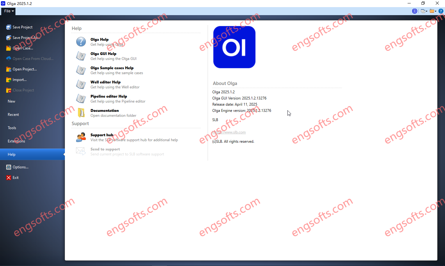
The Olga dynamic multiphase flow simulator models transient flow (time-dependent behaviors) to maximize production potential. Transient modeling is an essential component for feasibility studies and field development design. Dynamic simulation is essential in deep water and is used extensively in both offshore and onshore developments, to investigate transient behavior in pipelines and wellbores. Transient simulation with the Olga simulator provides an added dimension to steady-state analysis by predicting system dynamics, such as time-varying changes in flow rates, fluid compositions, temperature, solids deposition, and operational changes. Available versions: 2025.1.2 , 2024.2 , 2024.1 , 2023.1 Schlumberger OLGA 2025.1.2 Tested Picture As part of our ongoing commitment to excellence, we continuously strive to enhance our product. This latest version brings multiple improvements,...
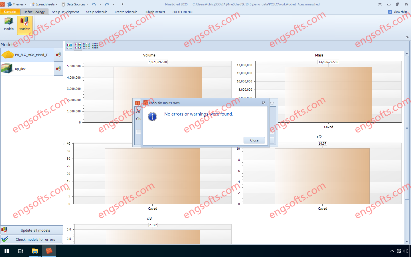
GEOVIA MineSched makes developing a tactical mine plan — a plan that turns the decisions defined in a long-term strategic mine plan into a schedule to guide day-to-day operations — breathtakingly easy by providing intuitive, rapid setup, and guided workflows that enable the creation of target-based, long- and short-term schedules from pre-created block and polygon models. Available versions: 2025.x ,2024.x ,… Geovia Minesched 2025 Tested Picture GEOVIA Tactical Mine Planner Produce practical and executable tactical mine plans from a long term strategic plan, for the optimal development and exploitation of the ore body. For open pit mines, accepts and schedules any number of pits For underground mines, supports scheduling of development advance as well as stope production Heuristic algorithms for...
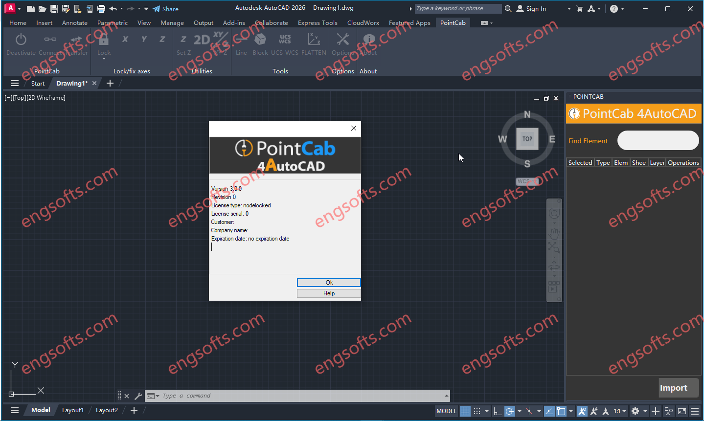
POINTCAB 4AUTOCAD PLUGIN (PointCab Plugin for AutoDesk AutoCAD)Converting point cloud data and then importing it into AutoCAD is quite time-consuming. Once this is done, the laborious drawing and modeling on the point cloud follows. Available versions: 3.x , 2.x , 1.x ,… PointCab 4AutoCAD 3.0 Tested Picture Take a look at what functions our AutoCAD plugin has to offer: Connection with all main AutoCAD 2D functionalities Ability to transfer coordinates & distances Fixing and locking of axes while drawing Create connected lines, polylines, multilines & TIN surfaces Transfer from UCS to WCS Flatten heights in drawing Insert your own lisp scripts into our plugin (+ icons) Transfer Tool for layouts/sections Compatible with AutoCAD, version 23 -2026