Geo 第8页
Geology & Exploration,Drilling And Workover softwares.

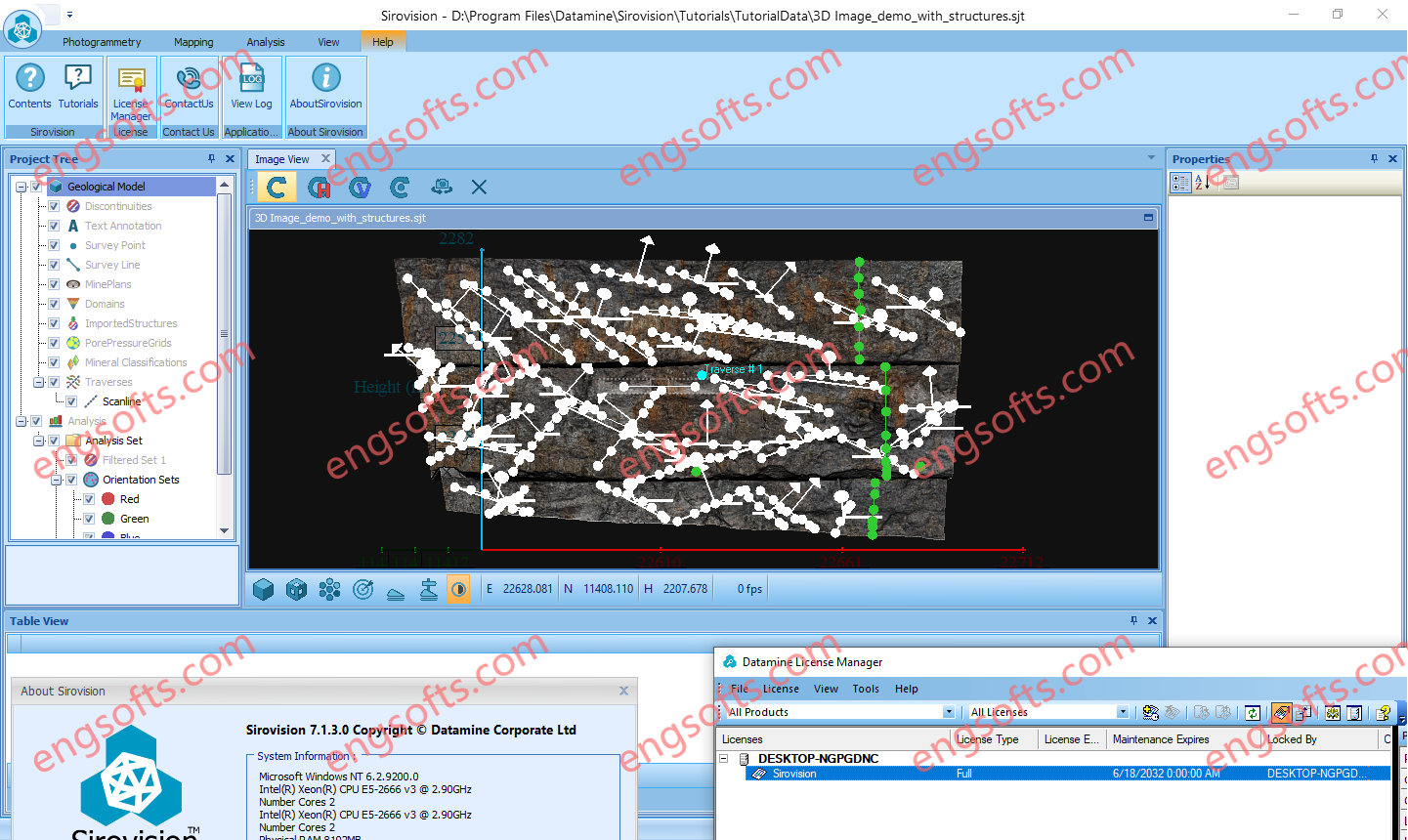
Sirovision is a geological / geotechnical mapping and analysis system that generates accurate, scaled 3D images of rock faces from stereo photographs taken in either open pit or underground environments. Sirovision allows mining professionals to quickly and accurately: Datamine Sirovision 7.1.3 Tested Picture Map structures daylighting at the surface to automatically determine their properties Automatically detect simple wedge and complex block features resulting from the structures Perform analyses to determine the failure risk Increase productivity and safety
Leica SpiderQC is a multi-purpose GNSS data analysis tool that can be used for: Site Assessment and Quality Control Network RTK Performance Monitoring Reference Station Integrity Monitoring Deformation Monitoring RINEX data management (concatenation, decimation) Suitable For All GNSS Reference Networks Leica SpiderQC processes GPS (including L2C and L5), GLONASS, BeiDou and Galileo (including AltBOC) data in the standard RINEX format that is supported by all leading reference station software. Leica SpiderQC is the perfect companion for all reference station networks. It allows the network operator to monitor the quality of the network in an efficient manner. Paired with the superior performance and flexibility of GNSS Spider reference station software and the GR10, GR25 and GMX series receivers, Leica Geosystems is...
Leica Spider Software Suite is the GNSS network infrastructure solution that provides easy access to all available data from all GNSS in one convenient location, helping users in the field and their colleagues in the office to be most efficient. All constellations, All sensors, All applications Be the most efficient you can be when all data is displayed in one place that can be accessed from anywhere at any time. Regardless of your application, Spider provides a solution by supporting all GNSS constellations, all sensors and all standards – making your business a success. The Spider Software Suite is the first web-based solution for managing real-time and post-processing services. Operators and users can now easily access the Spider Software Suite...
HxMap is a high-performance multi-sensor workflow platform that provides a fast, intuitive, and efficient post-processing workflow. It is used to produce geospatial data products within one single interface. It provides production tools that take raw flight datasets all the way through deliverable products refining radiometry and geometry along the process. Leica HxMap 2024 v4.5 Main features DMCIII sensor system support in Blockwide Radiometry Performance is improved for lidar point cloud colorization New Image Index Viewer to assess individual nadir images in Blockwide Radiometry Oblique overviews added to Radiometry Setup – Build Overviews
Correlator3D is a patented end-to-end photogrammetry solution for the generation of high-quality geospatial data from satellite and aerial imagery, including drones. Correlator3D performs aerial triangulation (AT) and produces dense digital surface models (DSM), digital terrain models (DTM), point clouds, orthomosaics, 3D models and vectorized 3D features. Powered by GPU technology and multi-core CPUs, Correlator3D™ ensures matchless processing speed to support rapid production of large datasets.
WipFrag™ 4 Image Analysis Software provides instant PSD analysis of digital images collected at the muckpile after a blast, a closer up sample of a stockpile, a laboratory sample or even drone/UAV images. With auto-scaling capabilities, WipFrag 4 is safe, cost effective and the most accurate fragmentation analysis tool in the world. The WipFrag Advantage BlastCast blast forecast module included Image analysis across multiple platforms Credits will never expire and are transferrable Controls 6th generation Conveyor and Vehicle Analysis Systems Intuitive multi-language interface.
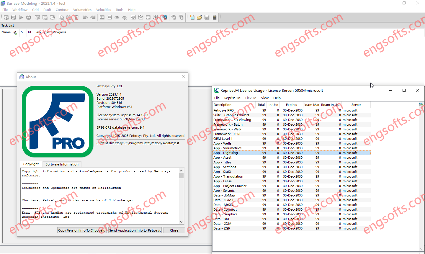
Petrosys is the leader in mapping, modeling and data management solutions for the oil & gas industry – uniquely integrated with the broadest range of specialist geoscience and GIS applications. Petrosys produces quality maps and visualizations. It aggregates, manages and analyzes the underlying data – for actionable results that communicate with clarity and accuracy. Petrosys is the industry leader in mapping, surface modeling and data management software solutions – delivering direct connectivity with the E&P industry’s most popular exploration, production and GIS data sources. Petrosys produces high quality maps and surface models. It manages, edits, and analyses the underlying information including the specialised seismic, well and geoscience data used in the search for oil and gas. Geoscientists, data managers and engineers at more than 300 sites...
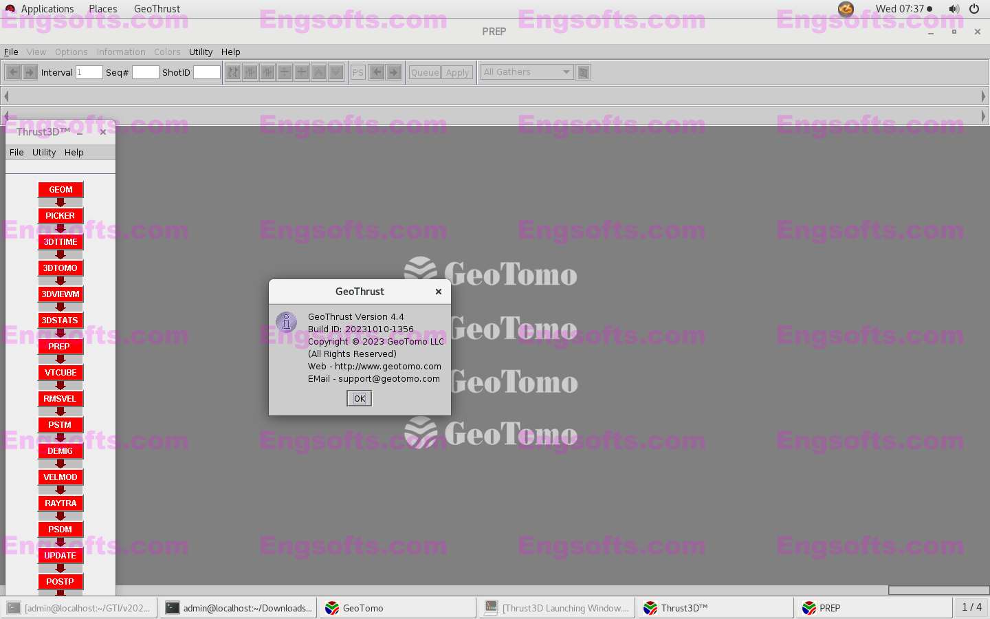
GeoThrust has been designed with a workflow architecture to obtain an accurate earth model and earth image in time and in depth from data recorded with irregular geometry in areas with rough topography, complex near-surface, and complex subsurface, with uncompromisingly high technical specifications for data analysis and quality control, but easy to learn and easy to use. DISTINCTIVELY UNIQUE FEATURES The near-surface model is estimated by nonlinear tomography applied to first-arrival times that accounts for topography and resolves lateral and vertical velocity variations. Aside from statics corrections, the corrections for the near-surface are performed by wavefield datuming — an essential requirement for imaging from irregular topography. GeoThrust performs subsurface velocity estimation, modeling and imaging from topography, not from a flat...
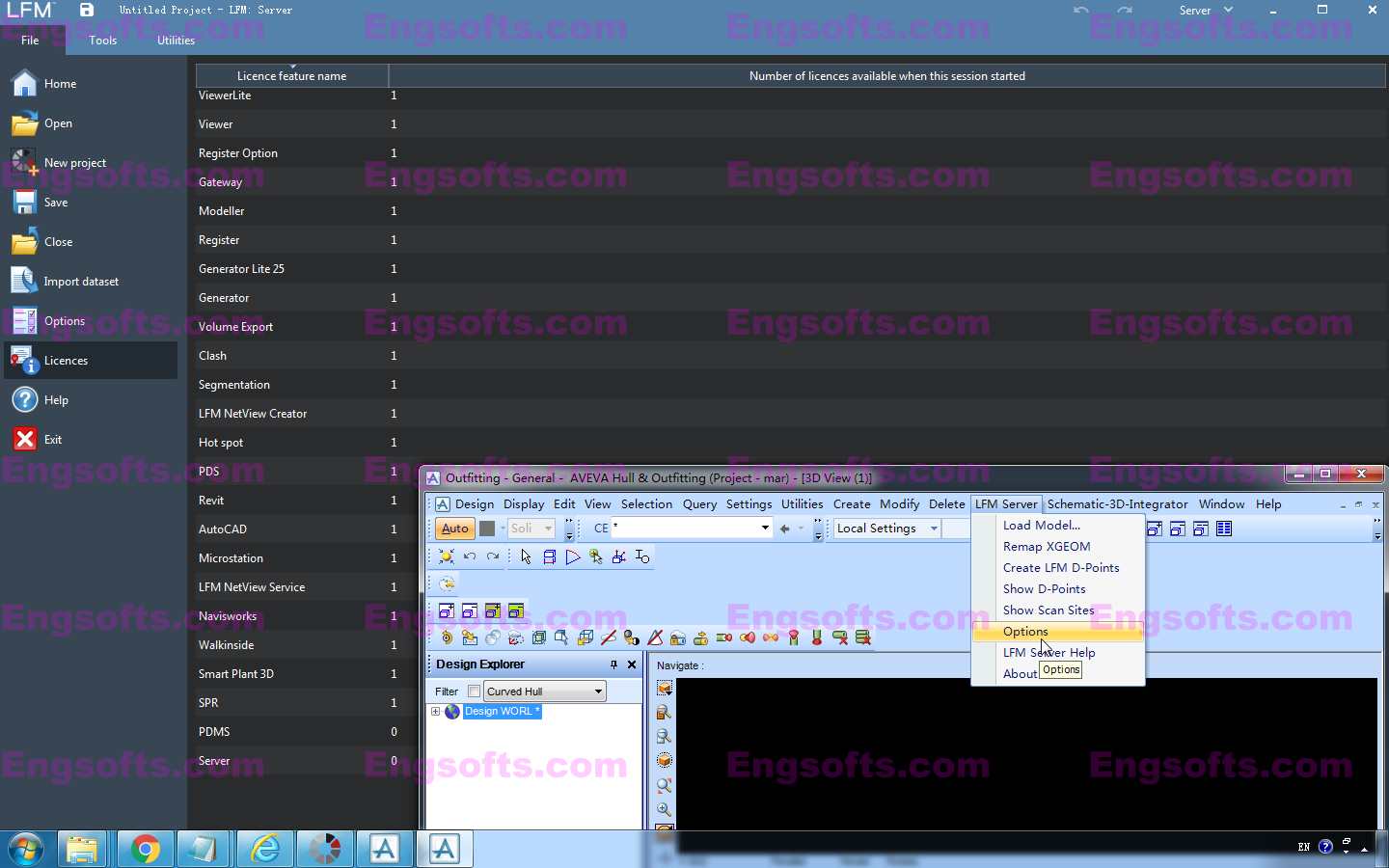
LFM Server is the most advanced solution available for accessing pre-registered laser scan data and working with it directly in 3D CAD systems. It is simple to use and offers unrivalled performance and functionality. There are many different 3D laser scanners and 3D CAD systems in use today. LFM Server has been developed to provide users with maximum freedom of choice of both scanning and design systems. It can read unstructured data from various scanner types; not only terrestrial laser scanners but also hand-held, mobile or aerial scanners. Designed to work with data from even the highest-resolution scanner, LFM Server enables users to work with datasets of unlimited size and exploit photorealistic, 360° BubbleViews™. Access and work with pre-registered 3D laser scan data with LFM Server. Compile point cloud...
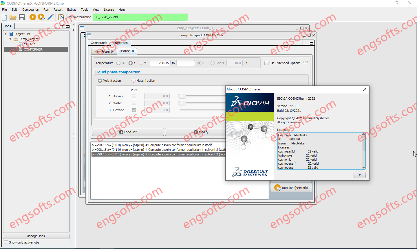
BIOVIA COSMOtherm is the universal tool for predictive property calculation of liquids, and combines quantum chemistry and thermodynamics in a unique fashion. It calculates the chemical potential of almost any molecule in almost any pure or mixed liquid at variable temperature, i.e. it predicts how happy a molecule is in a certain liquid environment. This is the key for the prediction of a multitude of properties required in industrial applications or academic research, including solubility, partitioning, vapor pressure, and complete phase diagrams. BIOVIA COSMOtherm 2022 Tested Picture In contrast to several other available methods BIOVIA COSMOtherm is able to predict properties as function of concentration and temperature by applying thermodynamically consistent equations.