Geo 第7页
Geology & Exploration,Drilling And Workover softwares.

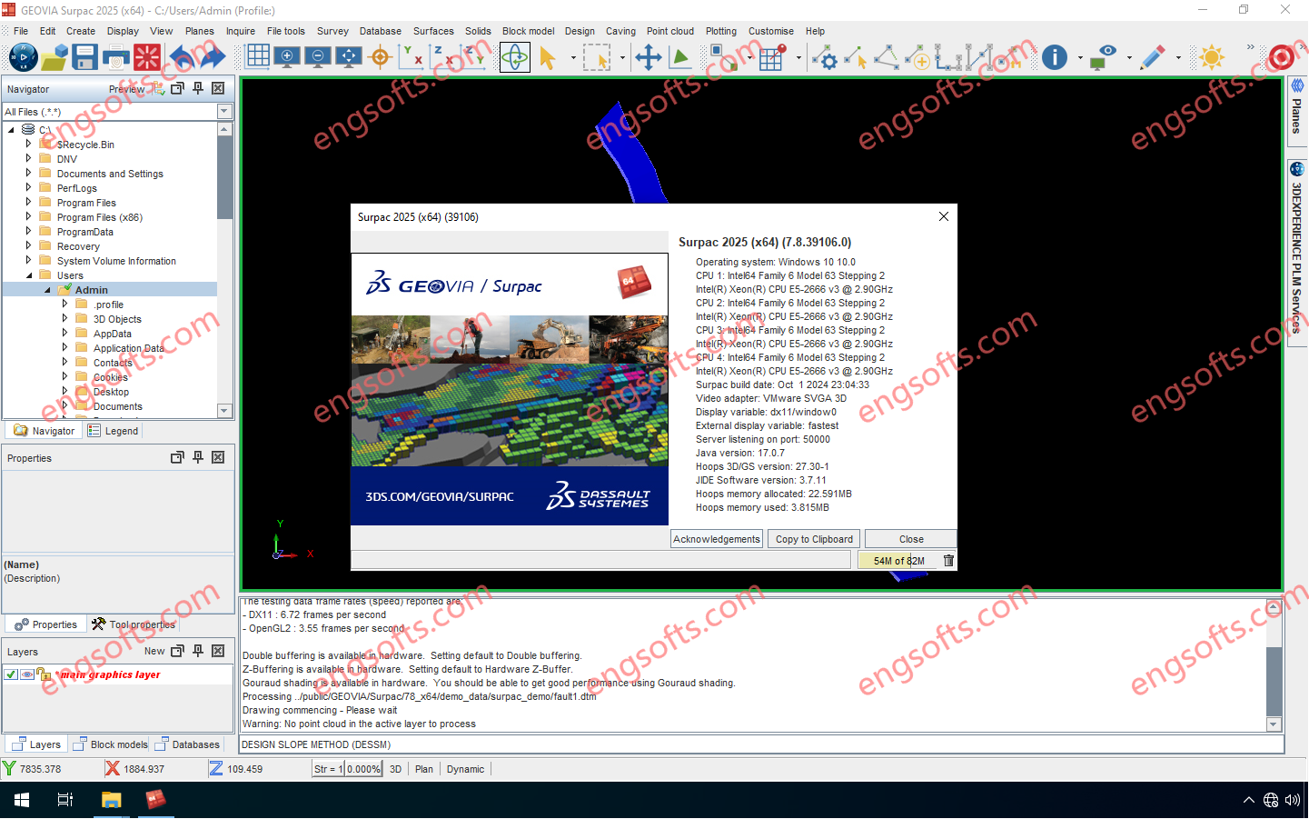
GEOVIA Surpac provides mining companies with the powerful, reliable, and customizable 3D mine planning and geological modelling software they need to deliver advanced drillhole-data management, perform rigorous statistical and geostatistical analyses, and develop comprehensive resource models, mine designs, and mine plans for either open pit or underground operations. Available versions: 2025.x ,2024.x ,… GEOVIA Surpac 2025 v7.8 Tested Picture With Surpac, geologists can quantify and evaluate the physical characteristics of a deposit, even with limited information. Engineers can visualize mine designs and plans that maximize ore recovery while complying with project constraints. Mine production teams can integrate vast amounts of data to determine the best way to extract reserves.
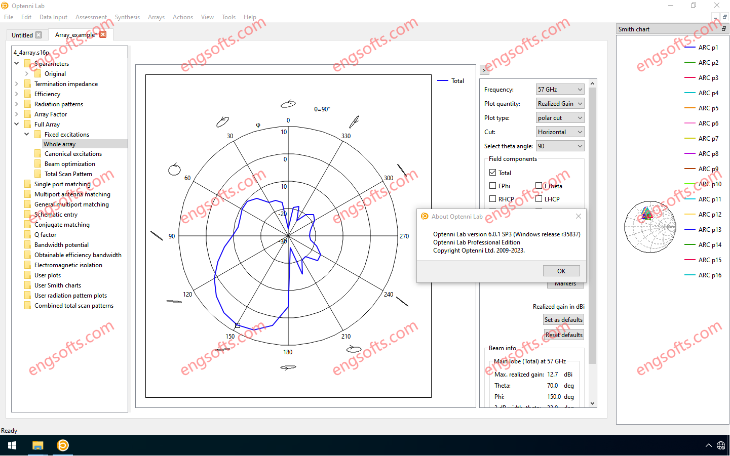
Optenni Lab 6.0 offers a unique RF circuit design environment with fully integrated circuit synthesis capabilities and optimization of antenna and radiation characteristics.It include Array module. Available versions: 6.x , 5.x ,… Optenni Lab Professional Edition 6.0 Tested Picture Optenni Lab version 6.0 features a new schematic entry environment that fulfills the needs of applications that were not adequately addressed in earlier versions. These include: Antenna multiplexing Array feed networks RF front-end architectures with signal branching Taking complex component layouts into account in circuit optimization Optimization of differential circuits Switches, general S-parameter blocks, decoupling networks, antennas and other components can now be freely connected, while still having access to the built-in synthesis and optimization tools tailored to antenna and RF...
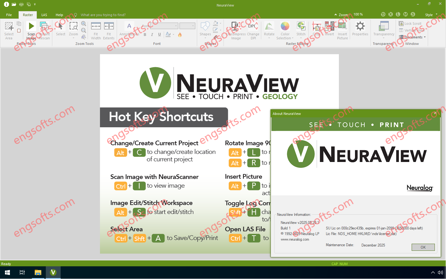
NeuraView is the solution to display, edit, process, annotate and print large documents. NeuraView will read any standard TIFF, JPG, BMP, PDS, PDF, CGM, EMF, and LAS image (color, grayscale, or black & white) and will display that image in the view window. From this interface, you can scroll, zoom and rotate the image. Save and print any desired isolated portion of the image. NeuraView 2025.05 Tested Picture Large documents, such as maps and well logs, require special equipment for scanning and printing and special software to view and manipulate with fast scrolling and zooming. The need for printing large documents arises as a result of working with and viewing these images. Few desktop publishing and CAD applications have the...
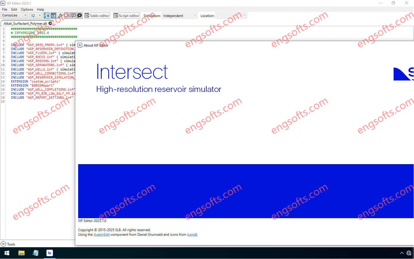
The Intersect™ reservoir simulator empowers reservoir engineers to tackle today’s most complex subsurface challenges with confidence. Combining leading science, superior performance, and flexible gridding, the Intersect simulator delivers fast, scalable modeling for every reservoir type—whether it is a mature oil and gas fields, appraisal/exploration fields, unconventionals, or new energy applications like CO2 storage. Seamlessly bridging data from geology, geophysics, geomechanics, and production engineering, the Intersect simulator enables smarter, more integrated workflows. It helps teams simulate reservoir behavior with greater accuracy, and in a faster, more cost-effective manner than ever before. Available other versions: 2024.1 , 2023.1 Schlumberger INTERSECT 2025.1 Tested Picture Key release highlights Black oil initialization for hydraulic fracture simulations now available! Unlock fast, accurate hydraulic fracture modeling with new...
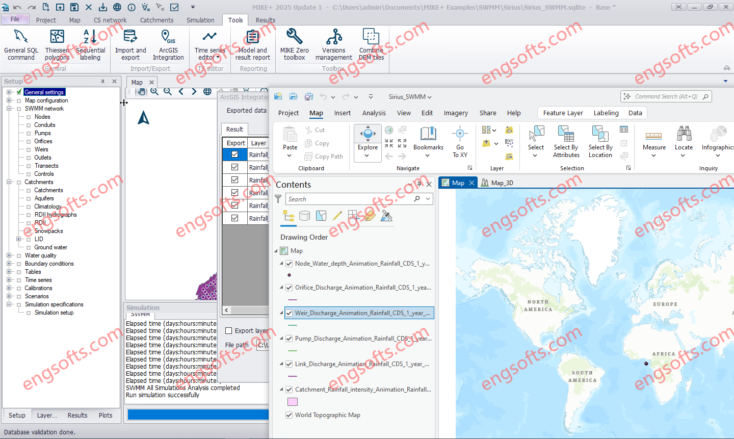
Combine MIKE+ with ArcGIS Pro 3.1 capabilities and open the door to industry-leading Esri software. MIKE+ ArcGIS Pro 3.1 gives you access to sophisticated spatial processing technology to make you more efficient in preparing spatial data or when analysing and visualising model outputs. Plus, rivers, 2D overland, and SWMM data are all supported – together with their results in 1D and 2D. Available other versions: DHI MIKE+ 2024.1 with ArcGIS Pro 3.1 DHI MIKE+ ArcGIS Pro 2025 Update1 Tested Picture MIKE+ is a comprehensive platform featuring integrated modules and tools designed to model, analyse, and manage various aspects of water systems. These include pipe networks, rivers, tidal areas, and more. By simplifying modelling and consolidating technology, MIKE+ empowers users to...
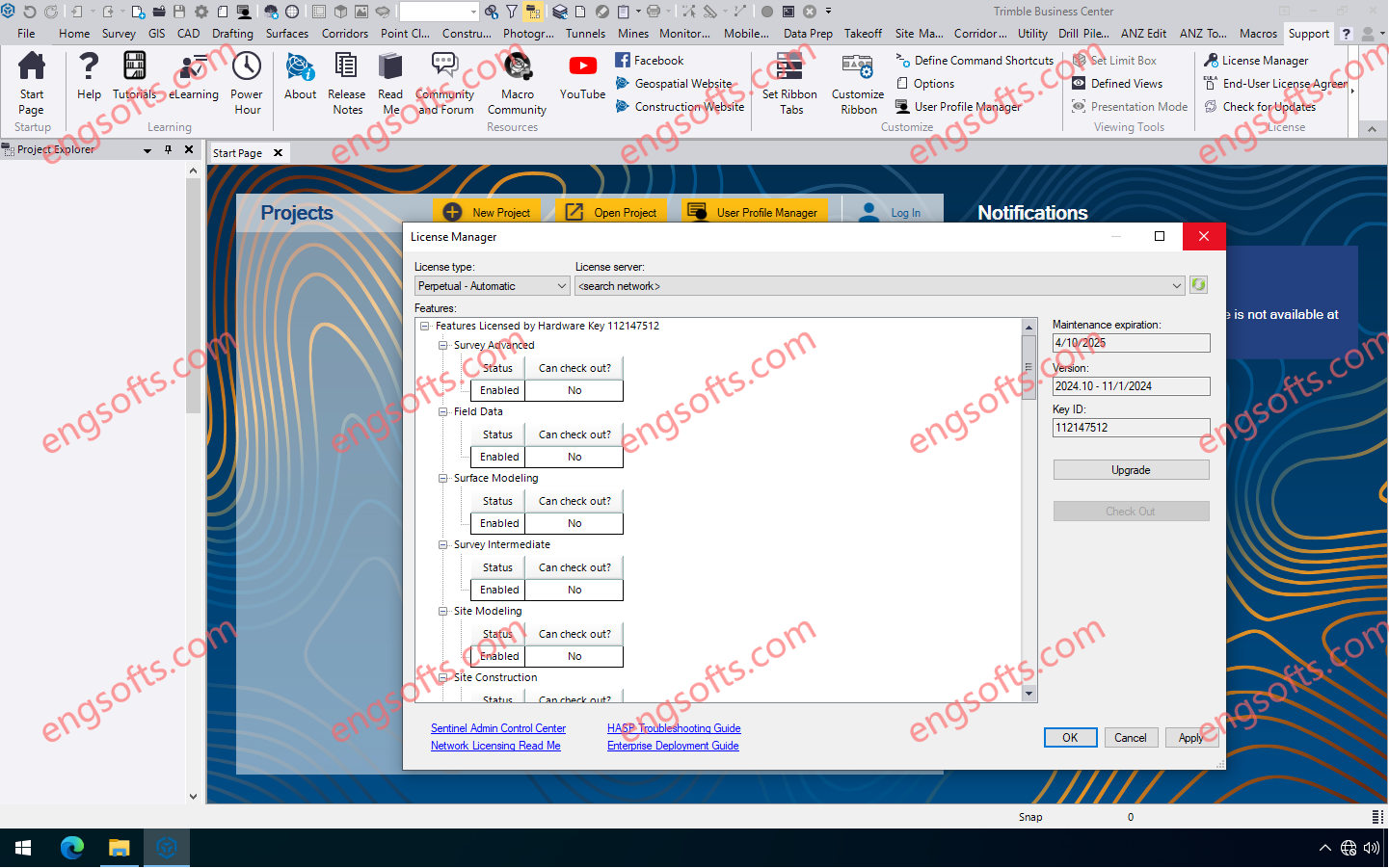
Trimble Business Center (TBC) software enables surveyors to transform field data from GNSS receivers, total stations, laser scanners, mobile mapping systems, drones and more into high-quality, actionable information and client deliverables. Available other versions: 2024.02 Trimble Business Center 2024.10 Tesed Picture Trimble Business Center 2024.10 features many new features and enhancements including the ability to create an orthomosaic TIFF photo of a vertical facade, and a new “Generic Point Feature Extraction” command which expands the Classification Training feature to perform Custom Feature Extraction through automatic or manual point creation instead of relying solely on predefined features. Mobile mapping users can now automatically extract linestrings from pavement lane lines in images captured with a Trimble Mobile Mapping system. TBC v2024.10 introduces...
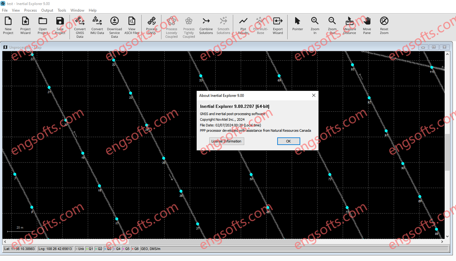
Inertial Explorer maximizes the performance of your GNSS/INS hardware by ensuring you get the position, velocity and attitude accuracy your application requires. The tightly coupled integration of GNSS and IMU data delivers precise results, even when lower grade inertial sensors are used. IE can produce results suitable for demanding applications such as mobile mapping, aerial and hydrographic surveying. IMU data from high end Fibre Optic Gyro (FOG) or Ring Laser Gyro (RLG) IMUs, and from lower grade sensor technology such as Micro Electrical Mechanical Systems (MEMS) can be processed. NovAtel Inertial Explorer 9.0 Tested Picture Inertial Explorer has workflows to match your business and your expertise. A project wizard is available to allow new GNSS/INS users to become productive quickly....
Import point cloud data from virtually any source, then quickly process, analyze and create high-quality deliverables with the automated tools and point cloud-specific workflows of Trimble RealWorks software. Trimble RealWorks 2024.13 Resolved issues Start page: Crash when using projects containing non-ASCII characters. Stability: Improved stability with NVIDIA RTX GPUs (Ampere generation and later). Security Vulnerability: Fixed CVE-2023-45853 vulnerability linked to zlib dll. Security Vulnerability: Fixed CVE-2024-21907 vulnerability linked to Newtonsoft.Json dll.
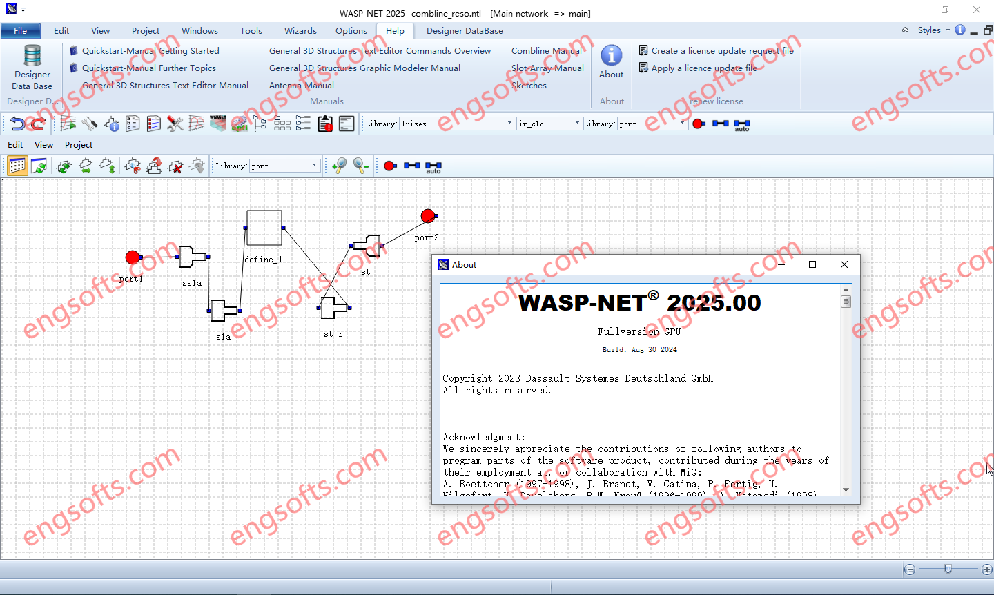
WASP-NET® stands for Waveguide and Antenna Synthesis Program for Networks. WASP-NET helps you to get extraordinary time-saving benefits for your professional electromagnetic (EM) microwave and radio frequency (RF) CAD designs and optimizations while not compromising full-wave accuracy and general 3D structure flexibility.This Release included in CST Studio Suite 2025. SIMULIA WASP-NET 2025.0 Tested Picture High design efficiency and fast product output are increasingly mission-critical for microwave, antenna, space and communication industries. Our hybrid EM CAD software and optimization tool, WASP-NET, helps reduce time to market through high simulation and optimization efficiency and accuracy. Optimization Efficiency Engineers can use WASP-NET to complete microwave and RF design tasks quickly through direct, fast and accurate full-wave overall EM optimization. The simulation speed of WASP-NET...
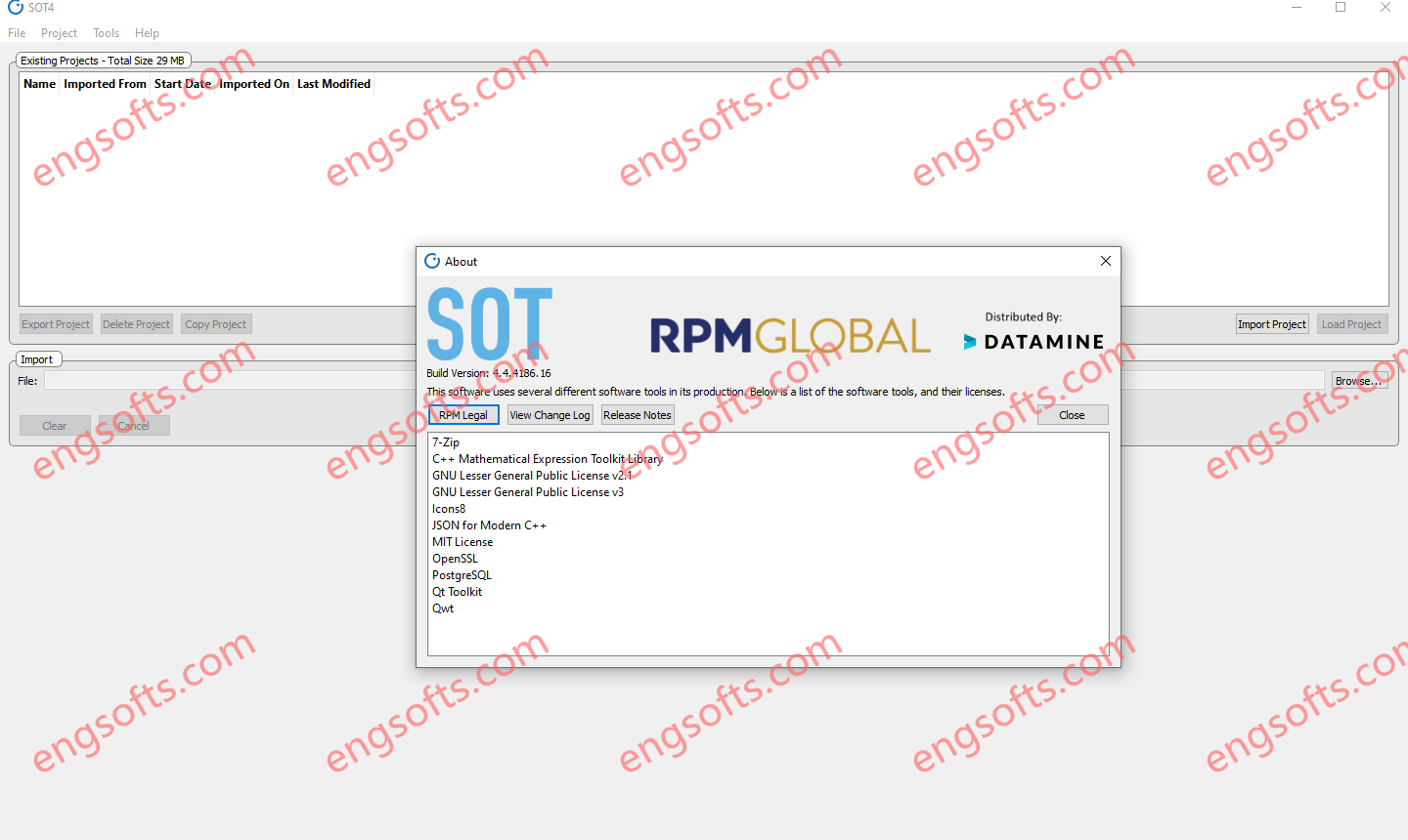
SOT is the industry’s only strategic financial optimisation tool for both surface and underground mines that maximises productivity and profitability outcomes by optimising the net present value (NPV) of the mine schedule. RPMGlobal SOT4 2024 v4.4.4186 Tested Picture Features Optimised NPV Custom heuristics and an evolutionary algorithm optimise the NPV. Decision support Identify robust, high-value schedules that drive strategic mine planning. Scenario planning & comparisons Generate multiple ‘what if’ scenarios in minutes to determine economic viability. Optimise multiple metrics Optimise for NPV, ore feed targets, profitability index and many more metrics. Seamless integration Integrated with most major mine planning packages. Optimal transition Efficiently transition from open pit to underground mining. Solve complex mine planning challenges Underground and surface mines are...