Geo 第6页
Geology & Exploration,Drilling And Workover softwares.

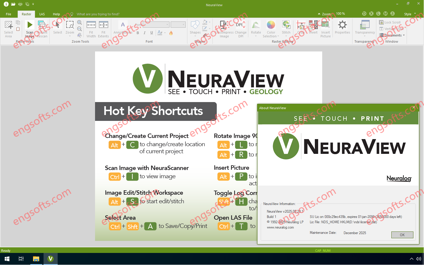
NeuraView is the solution to display, edit, process, annotate and print large documents. NeuraView will read any standard TIFF, JPG, BMP, PDS, PDF, CGM, EMF, and LAS image (color, grayscale, or black & white) and will display that image in the view window. From this interface, you can scroll, zoom and rotate the image. Save and print any desired isolated portion of the image. NeuraView 2025.05 Tested Picture Large documents, such as maps and well logs, require special equipment for scanning and printing and special software to view and manipulate with fast scrolling and zooming. The need for printing large documents arises as a result of working with and viewing these images. Few desktop publishing and CAD applications have the...
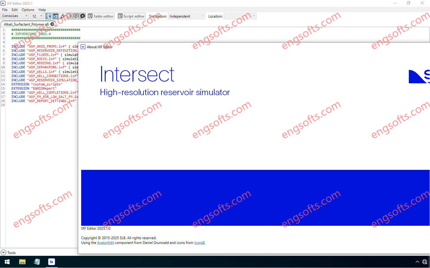
The Intersect™ reservoir simulator empowers reservoir engineers to tackle today’s most complex subsurface challenges with confidence. Combining leading science, superior performance, and flexible gridding, the Intersect simulator delivers fast, scalable modeling for every reservoir type—whether it is a mature oil and gas fields, appraisal/exploration fields, unconventionals, or new energy applications like CO2 storage. Seamlessly bridging data from geology, geophysics, geomechanics, and production engineering, the Intersect simulator enables smarter, more integrated workflows. It helps teams simulate reservoir behavior with greater accuracy, and in a faster, more cost-effective manner than ever before. Available other versions: 2024.1 , 2023.1 Schlumberger INTERSECT 2025.1 Tested Picture Key release highlights Black oil initialization for hydraulic fracture simulations now available! Unlock fast, accurate hydraulic fracture modeling with new...
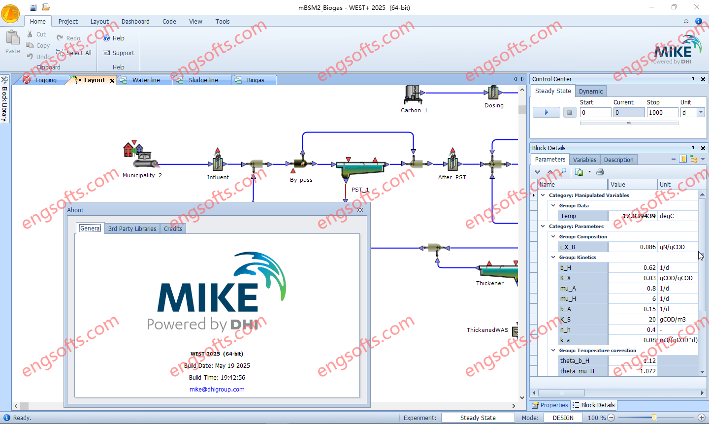
WEST software is a sophisticated simulation tool used by operators and engineers to optimise plant design, operations and automation by targeting effluent quality, energy and cost. Available other versions: 2024.1 , 2023.0 DHI WEST 2025 Update1 Tested Picture DHI WEST 2025 Update1 Make WEST your modelling platform of choice Plant Operators Investigate the complex process dynamics and interactions that characterise a modern WWTP. Evaluate treatment performance resulting from changes in the sewage composition and in operational strategy, using highly customisable dashboards. Wastewater Engineers & Consultants Support the design of new facilities and upgrades of existing ones. Identify actions to optimise and improve operational efficiency. Researchers Evaluate alternatives within a reasonable time frame. Develop and implement custom process models , automate...
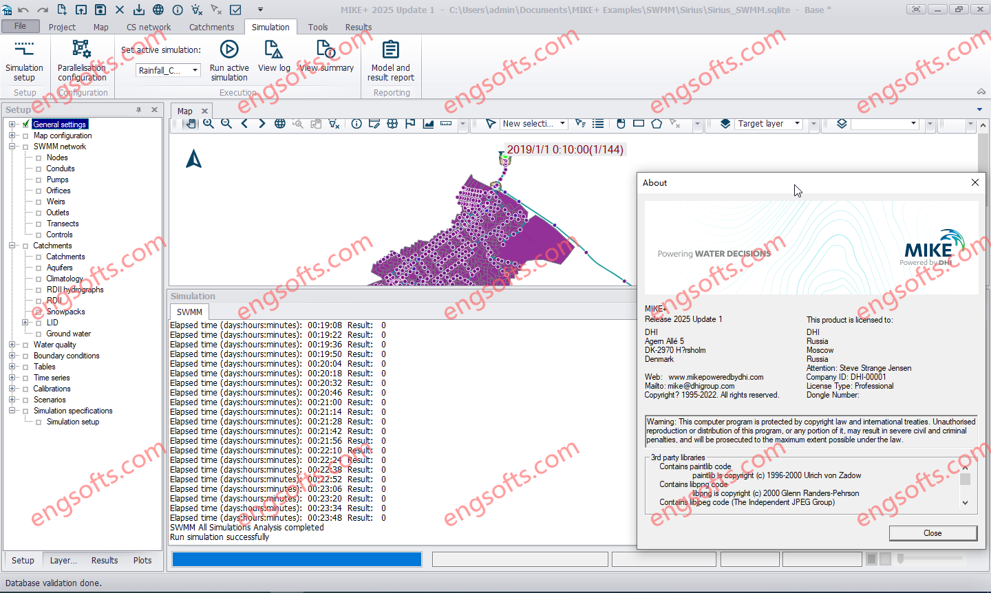
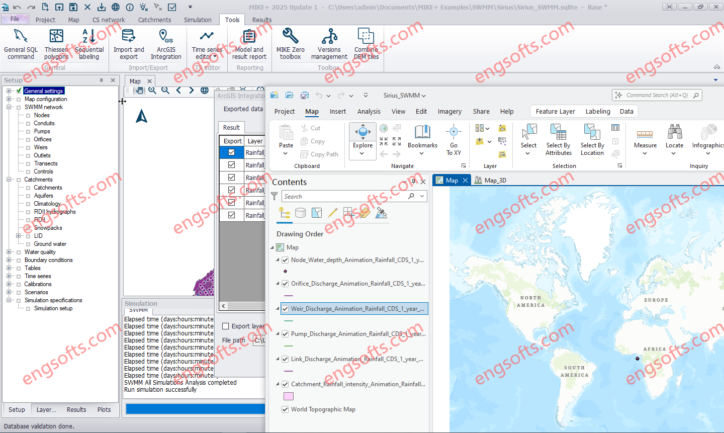
MIKE+ offers a full suite of integrated software solutions for water systems with a flexible and scalable model manager layer at its core. The MIKE+ platform allows you to plug and play with different modules to customise water management solutions. They’re powerful alone – but even better when used together. Available other versions: 2024.1 , 2023.0 DHI MIKE+ 2025 Update1 Tested Picture Plus, some modules are transversal, so you can use them across your collection systems, rivers and flooding challenges. That’s the power of an integrated water modelling platform. MIKE+ Rainfall Runoff Prepare multiple rainfall-runoff models in one simulation. Choose between the Time-Area method, Kinematic Wave routing method, LIDS options, linear reservoir models, Storm Water Quality Method or UHM. You...
Combine MIKE+ with ArcGIS Pro 3.1 capabilities and open the door to industry-leading Esri software. MIKE+ ArcGIS Pro 3.1 gives you access to sophisticated spatial processing technology to make you more efficient in preparing spatial data or when analysing and visualising model outputs. Plus, rivers, 2D overland, and SWMM data are all supported – together with their results in 1D and 2D. Available other versions: DHI MIKE+ 2024.1 with ArcGIS Pro 3.1 DHI MIKE+ ArcGIS Pro 2025 Update1 Tested Picture MIKE+ is a comprehensive platform featuring integrated modules and tools designed to model, analyse, and manage various aspects of water systems. These include pipe networks, rivers, tidal areas, and more. By simplifying modelling and consolidating technology, MIKE+ empowers users to...
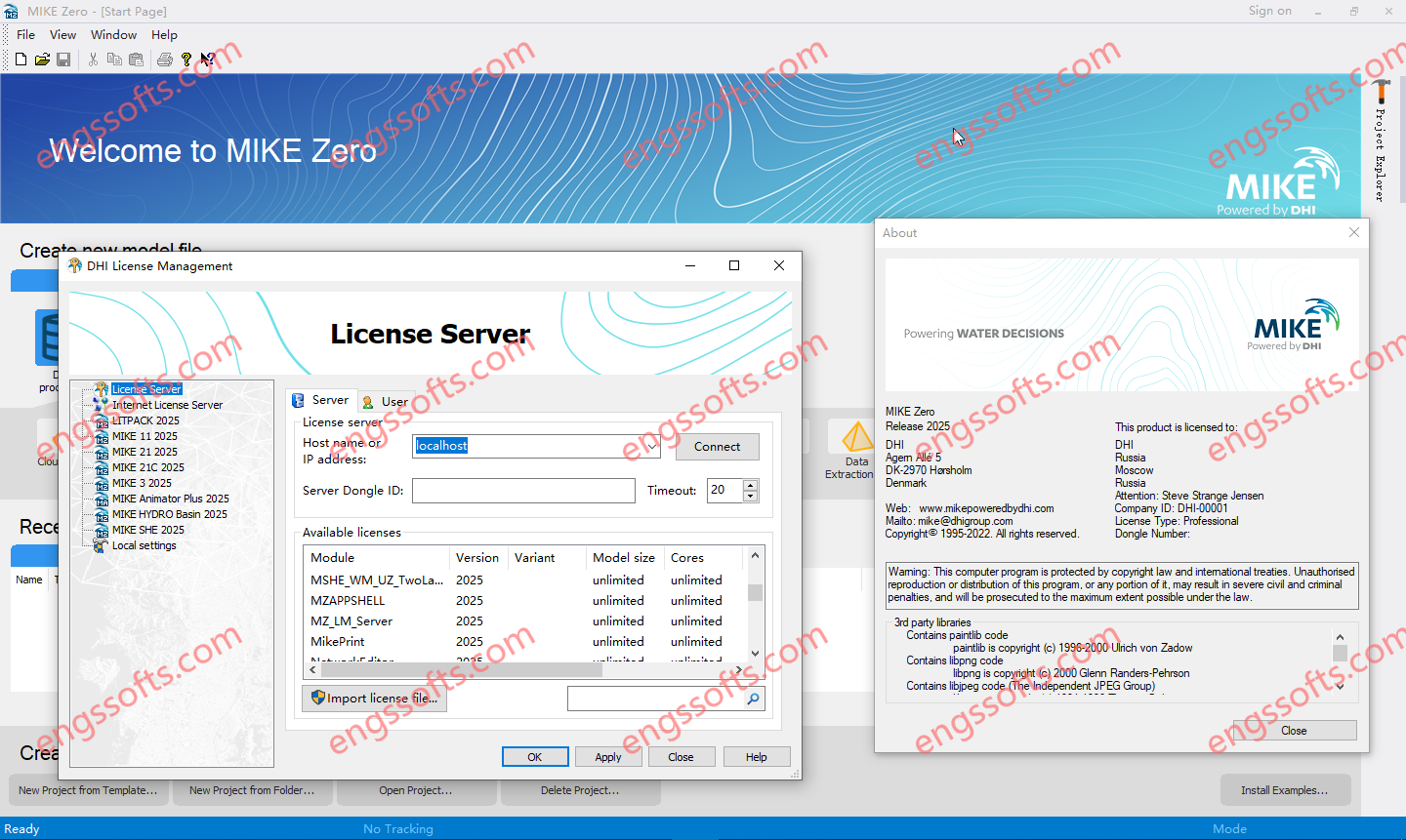
DHI MIKE Zero is the graphical framework and toolbox used to set up, run, and analyze models in the MIKE software suite for water environments. It streamlines hydrodynamic and environmental modeling workflows across rivers, coasts, oceans, and urban drainage by bringing pre- and post-processing tools into a single interface. Available versions: 2025.x , 2024.x , 2023.x , 2022.x , … DHI MIKE ZERO 2025 Tested Picture Key capabilities: Unified interface for configuring, launching, and managing MIKE simulations (1D/2D/3D flow, waves, water quality, and related modules). Data preparation tools, including mesh and grid editing, bathymetry handling, and boundary condition setup. Robust data management for time series and spatial datasets, with support for common GIS, raster, and vector formats. Result visualization and...
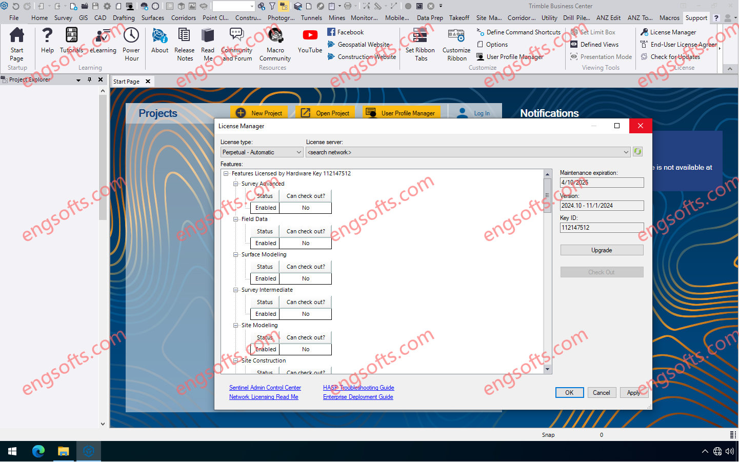
Trimble Business Center (TBC) software enables surveyors to transform field data from GNSS receivers, total stations, laser scanners, mobile mapping systems, drones and more into high-quality, actionable information and client deliverables. Available other versions: 2024.02 Trimble Business Center 2024.10 Tesed Picture Trimble Business Center 2024.10 features many new features and enhancements including the ability to create an orthomosaic TIFF photo of a vertical facade, and a new “Generic Point Feature Extraction” command which expands the Classification Training feature to perform Custom Feature Extraction through automatic or manual point creation instead of relying solely on predefined features. Mobile mapping users can now automatically extract linestrings from pavement lane lines in images captured with a Trimble Mobile Mapping system. TBC v2024.10 introduces...
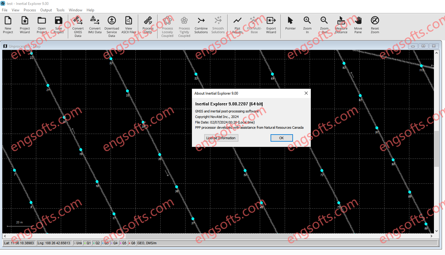
Inertial Explorer maximizes the performance of your GNSS/INS hardware by ensuring you get the position, velocity and attitude accuracy your application requires. The tightly coupled integration of GNSS and IMU data delivers precise results, even when lower grade inertial sensors are used. IE can produce results suitable for demanding applications such as mobile mapping, aerial and hydrographic surveying. IMU data from high end Fibre Optic Gyro (FOG) or Ring Laser Gyro (RLG) IMUs, and from lower grade sensor technology such as Micro Electrical Mechanical Systems (MEMS) can be processed. NovAtel Inertial Explorer 9.0 Tested Picture Inertial Explorer has workflows to match your business and your expertise. A project wizard is available to allow new GNSS/INS users to become productive quickly....
SPGlobal QUE$TOR 2025 Q1 have been implemented the following features have been implemented: SPGlobal QUESTOR 2025Q1 Tested Picture Production facilities once through steam generation Wellpad group solar PV power Topsides solar PV power GHG Emissions report with third party electricity generation Gas turbine drive data enhancement QUE$TOR 2025 Q1 Release Documents Download the Release Notes which provide an explanation of the technical and cost changes in this release of QUE$TOR Download the Quick Start Guide which provides beginners guide instructions on how to operate QUE$TOR
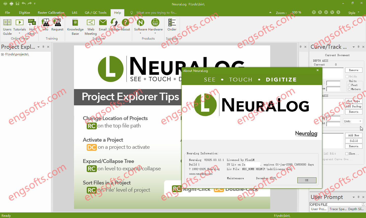
NeuraLog 2025.03 update is here, and it brings a host of powerful new tools and refinements designed to streamline well log digitization, enhance user accessibility, and optimize project management. Whether you’re a long-time user or just getting started, this release is packed with features that will boost efficiency, improve accuracy, and make your workflow smoother than ever before. NeuraLog has long been the industry leader in well log digitization and data management, helping geoscientists, engineers, and oil and gas professionals convert raster logs into usable digital data. With the 2025.03 release, Neuralog continues to innovate and improve the software by incorporating user feedback and advancing functionality. NeuraLog v2025.03 Tested Picture Key Features & Enhancements in NeuraLog 2025.03 Symbol Capture Tool...