Geo 第5页
Geology & Exploration,Drilling And Workover softwares.

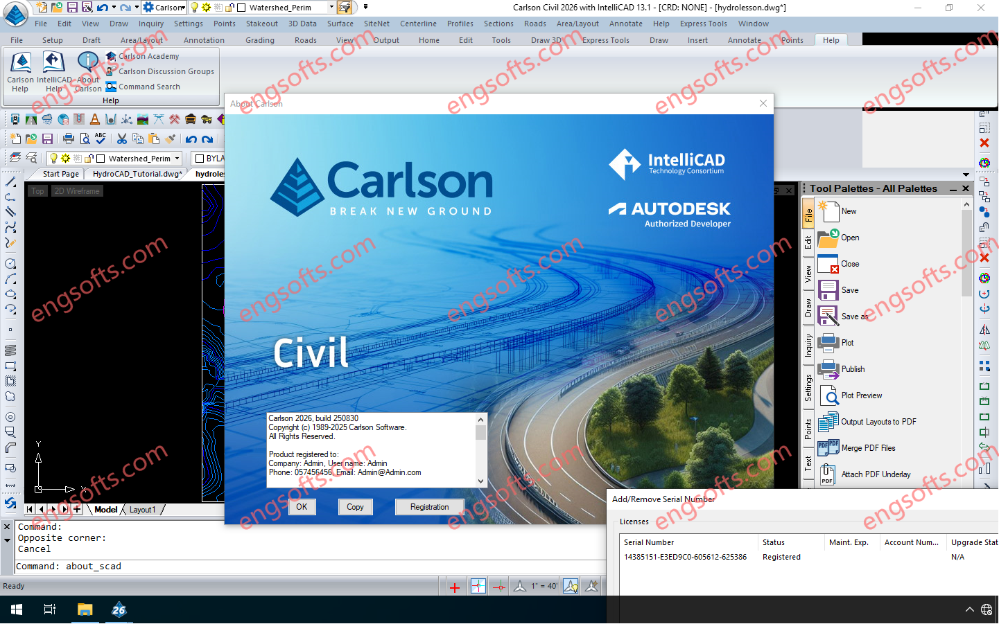
Carlson 2026 is application software for land development, civil engineering, surveying, construction, GIS and mining engineering which runs with AutoCAD and IntelliCAD. The CAD engine serves as the graphics engine and drawing editor for Carlson. Carlson Survey/Civil/Mining Suite 2026 Tested Picture Carlson 2026 consists of the following programs: Survey, Civil, Hydrology, GIS, Field, GeoTech, Trenching, CAD Net, Construction, Natural Regrade, Point Clouds, Geology, Underground Mining and Surface Mining. Each of these programs can run independently or together with each other. Carlson 2026 products can be installed with (included) IntelliCAD 13.1 and 12.1 or on top of your separately purchased license of AutoCAD 2019-2026. Click here to download a PDF of improvements in Carlson 2026 products.
The Trimble Inpho UASMaster software module combines ease of use with the full power of a photogrammetric workstation. Create powerful deliverables from images collected with UAS (Unmanned Aircraft Systems) aerial mapping and surveying systems. Available versions: 15.x , 14.x ,… https://engsofts.com/wp-content/uploads/2025/08/Trimble.UASMaster.15.1.1.mp4 Trimble UASMaster 2025 v15.1.1 Tested Video Users of UASMaster version 15 gain a competitive advantage by delivering projects with higher accuracy and quality, setting a new standard in the industry. Precise Modeling The introduction of RealRay technology in version 15 ensures the highest level of precision achieved in georeferencing, significantly reducing errors caused by environmental factors. RealRay technology is integrated into the complete mapping workflow (nadir imagery) allowing high-altitude flights, oblique flights, or challenging mountainous terrain. UASMaster delivers consistent...
Trimble Photogrammetry including ApplicationsMaster, MATCH-AT, MATCH-ATpushbroom, inBLOCK, MATCH-T DSM, MATCH-3DX, DTMaster, DTMaster BuildingAddOn, DPMaster, OrthoMaster and OrthoVista Available versions: 15.x , 14.x ,… https://engsofts.com/wp-content/uploads/2025/08/Trimble.Photogrammetry.v15.1.1.mp4 Trimble Photogrammetry 2025 v15.0.5 Tested Video Aerial imagery project workflow improvements MATCH-AT: Now with new Trimble RealRay technology, a sophisticated mathematical model designed to precisely estimate and correct image distortions caused by factors such as atmospheric refraction, mapping projection and geoid impacts MATCH-T DSM / MATCH-3DX: More comprehensive LAS and LAZ file support means that Point Data Record Format (PDRF) and ExtraBytes are supported throughout the complete workflow MATCH-3DX: Improved reconstruction of thin structures such as power lines, railings and masts. Mesh conversion processes are enhanced by the delivery of an optimized color adjustment as well as the faster conversion...
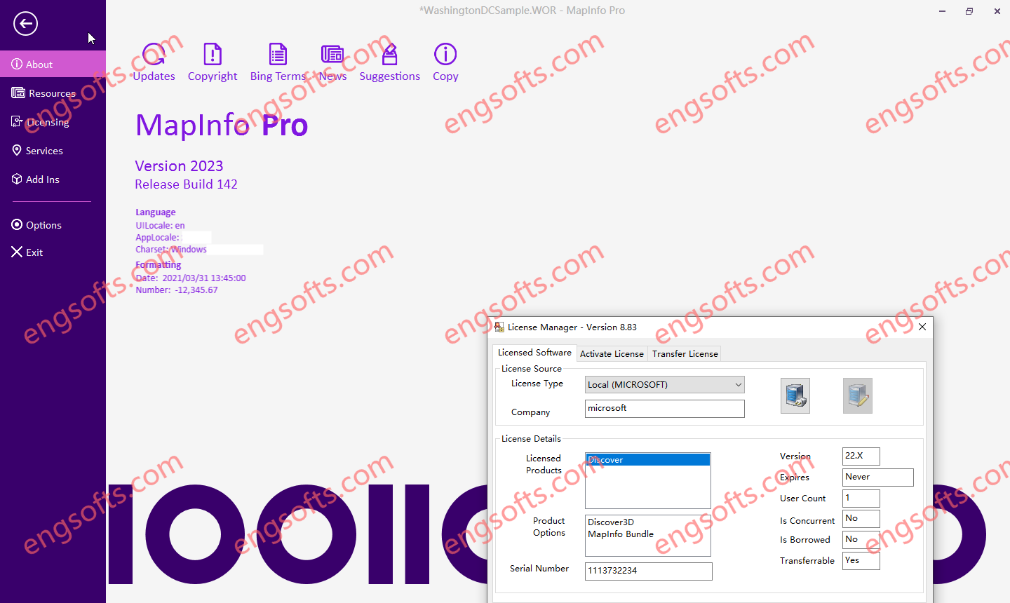
The Datamine Discover 2024 Update 1 v23.0.375 release is now available. Discover 2024 (Build 23.0.375) Discover 3D 2024 (optional license – if not licensed is available in viewer mode functionality) MapInfo Pro 2023.1 (Build 181) MapInfo Pro Advanced (Raster menu) MapInfo Pro Premium services Bing (annual subscription license, expires 31st December 2025) Available versions: 2024.x ,2023.x ,… Datamine Discover 2023 Tested Picture Some of the new features of Discover 2024 are – DiscoverNew PCA/K-means multivariate clustering tool for data analysis on vector and raster data Support LiDAR OBJ files in mobile projects and checkin/out workflow process New read only field validation for mobile projects Support for self-populating picklists in Discover Mobile New mobile project specific folders for audio, photos and lidar Significant...
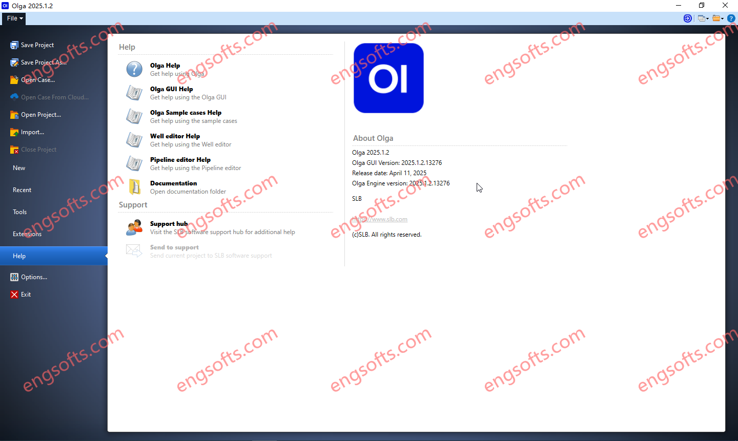
The Olga dynamic multiphase flow simulator models transient flow (time-dependent behaviors) to maximize production potential. Transient modeling is an essential component for feasibility studies and field development design. Dynamic simulation is essential in deep water and is used extensively in both offshore and onshore developments, to investigate transient behavior in pipelines and wellbores. Transient simulation with the Olga simulator provides an added dimension to steady-state analysis by predicting system dynamics, such as time-varying changes in flow rates, fluid compositions, temperature, solids deposition, and operational changes. Available versions: 2025.1.2 , 2024.2 , 2024.1 , 2023.1 Schlumberger OLGA 2025.1.2 Tested Picture As part of our ongoing commitment to excellence, we continuously strive to enhance our product. This latest version brings multiple improvements,...
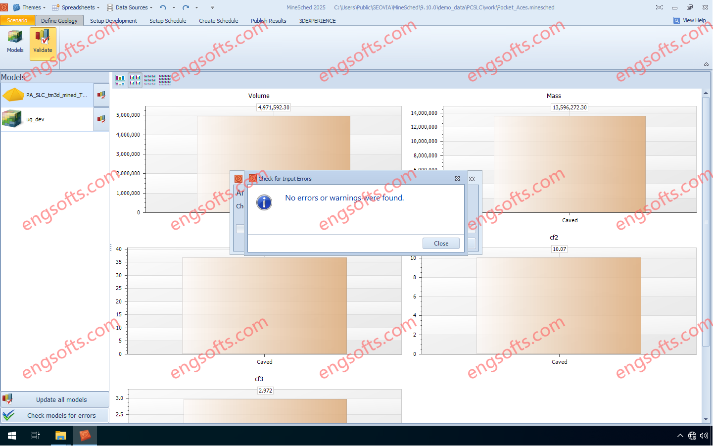
GEOVIA MineSched makes developing a tactical mine plan — a plan that turns the decisions defined in a long-term strategic mine plan into a schedule to guide day-to-day operations — breathtakingly easy by providing intuitive, rapid setup, and guided workflows that enable the creation of target-based, long- and short-term schedules from pre-created block and polygon models. Available versions: 2025.x ,2024.x ,… Geovia Minesched 2025 Tested Picture GEOVIA Tactical Mine Planner Produce practical and executable tactical mine plans from a long term strategic plan, for the optimal development and exploitation of the ore body. For open pit mines, accepts and schedules any number of pits For underground mines, supports scheduling of development advance as well as stope production Heuristic algorithms for...
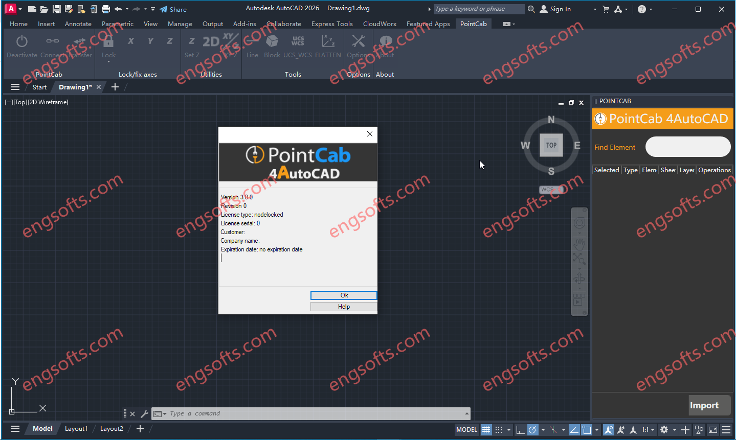
POINTCAB 4AUTOCAD PLUGIN (PointCab Plugin for AutoDesk AutoCAD)Converting point cloud data and then importing it into AutoCAD is quite time-consuming. Once this is done, the laborious drawing and modeling on the point cloud follows. Available versions: 3.x , 2.x , 1.x ,… PointCab 4AutoCAD 3.0 Tested Picture Take a look at what functions our AutoCAD plugin has to offer: Connection with all main AutoCAD 2D functionalities Ability to transfer coordinates & distances Fixing and locking of axes while drawing Create connected lines, polylines, multilines & TIN surfaces Transfer from UCS to WCS Flatten heights in drawing Insert your own lisp scripts into our plugin (+ icons) Transfer Tool for layouts/sections Compatible with AutoCAD, version 23 -2026
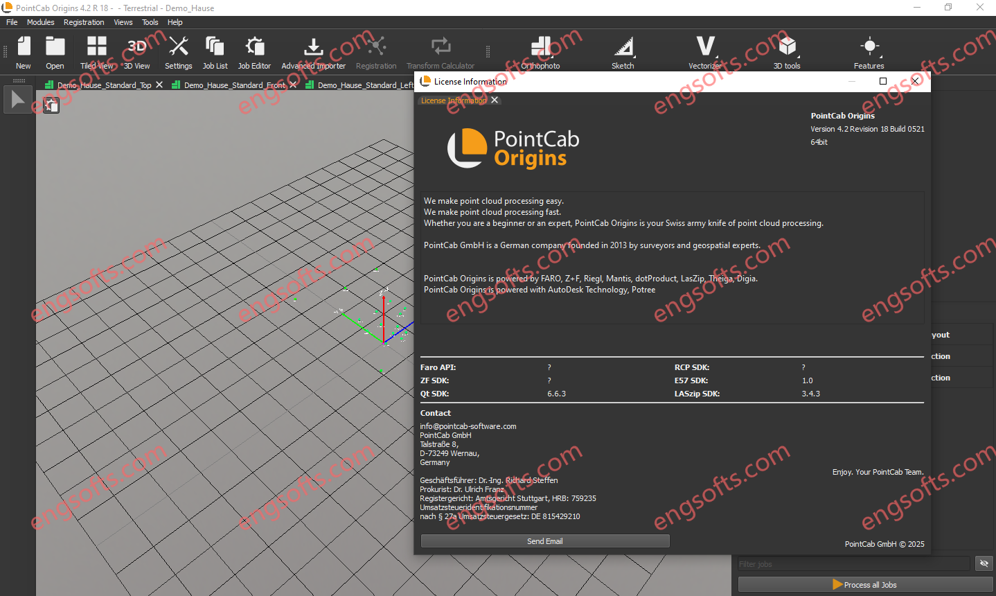
PointCab Origins is your Swiss Army Knife for the evaluation of point cloud data – no matter from which laser scanner and compatible with all CAD and BIM systems. From point cloud registration to the creation of vector lines and the transfer of your results into your CAD system, Origins offers you the perfect point cloud workflow. Available versions: 4.2x , 4.1x ,… PointCabOrigins Pro 4.2R18 Tested Picture Point cloud evaluation with PointCab Origins is that simple: Fast and intuitive: Create a digital measurement, floor plans and more with just a few clicks – without long training. High connectivity: Origins is compatible with almost all laser scanners and CAD & BIM systems. Scan2BIM workflow from a single source: From point cloud registration to...
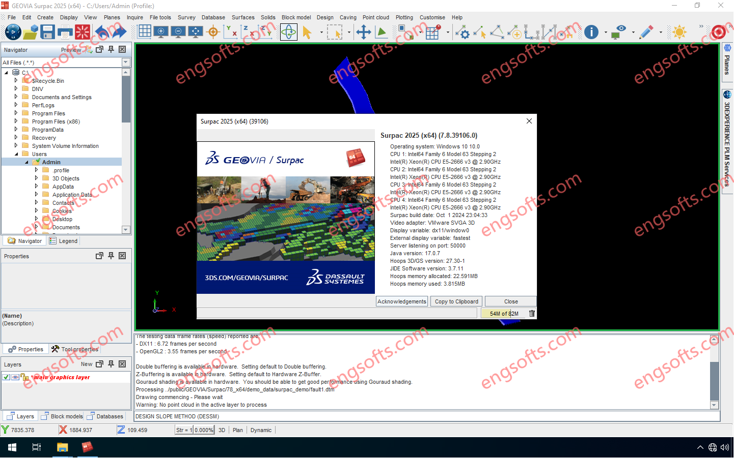
GEOVIA Surpac provides mining companies with the powerful, reliable, and customizable 3D mine planning and geological modelling software they need to deliver advanced drillhole-data management, perform rigorous statistical and geostatistical analyses, and develop comprehensive resource models, mine designs, and mine plans for either open pit or underground operations. Available versions: 2025.x ,2024.x ,… GEOVIA Surpac 2025 v7.8 Tested Picture With Surpac, geologists can quantify and evaluate the physical characteristics of a deposit, even with limited information. Engineers can visualize mine designs and plans that maximize ore recovery while complying with project constraints. Mine production teams can integrate vast amounts of data to determine the best way to extract reserves.
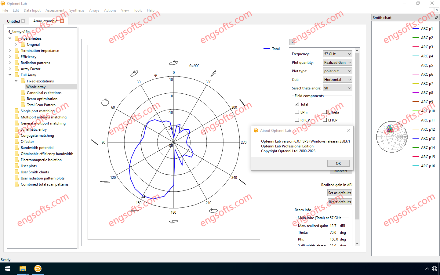
Optenni Lab 6.0 offers a unique RF circuit design environment with fully integrated circuit synthesis capabilities and optimization of antenna and radiation characteristics.It include Array module. Available versions: 6.x , 5.x ,… Optenni Lab Professional Edition 6.0 Tested Picture Optenni Lab version 6.0 features a new schematic entry environment that fulfills the needs of applications that were not adequately addressed in earlier versions. These include: Antenna multiplexing Array feed networks RF front-end architectures with signal branching Taking complex component layouts into account in circuit optimization Optimization of differential circuits Switches, general S-parameter blocks, decoupling networks, antennas and other components can now be freely connected, while still having access to the built-in synthesis and optimization tools tailored to antenna and RF...