Geo Page 4
Geology & Exploration,Drilling And Workover softwares.

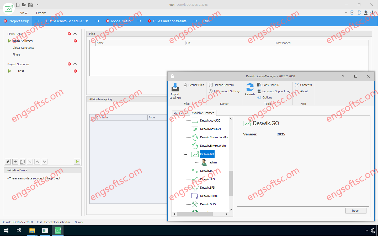
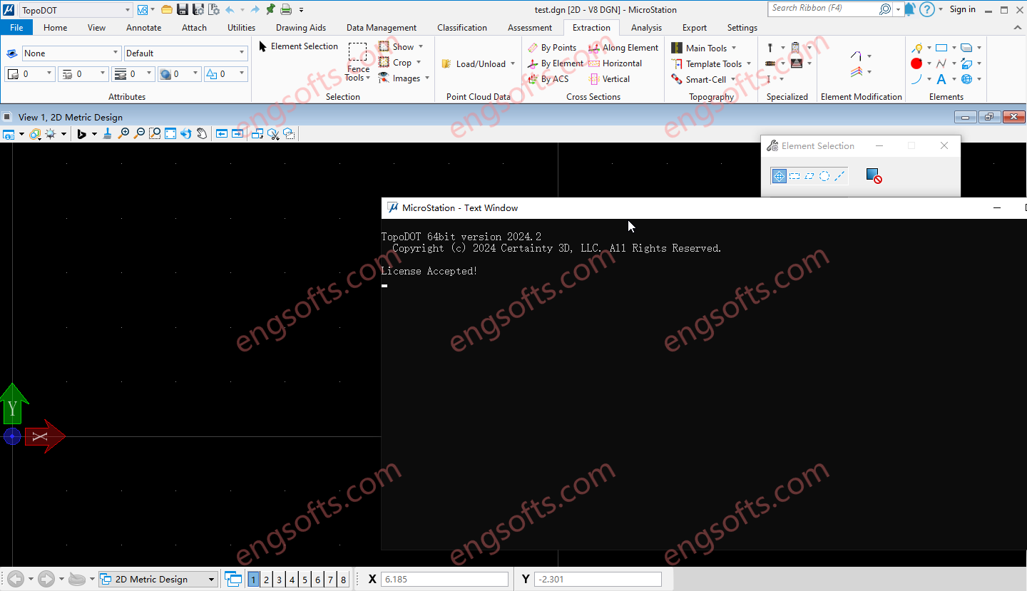
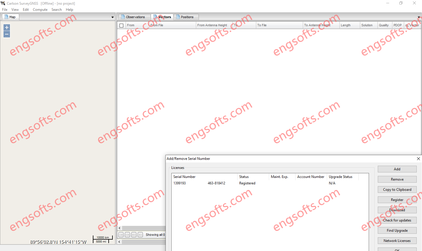
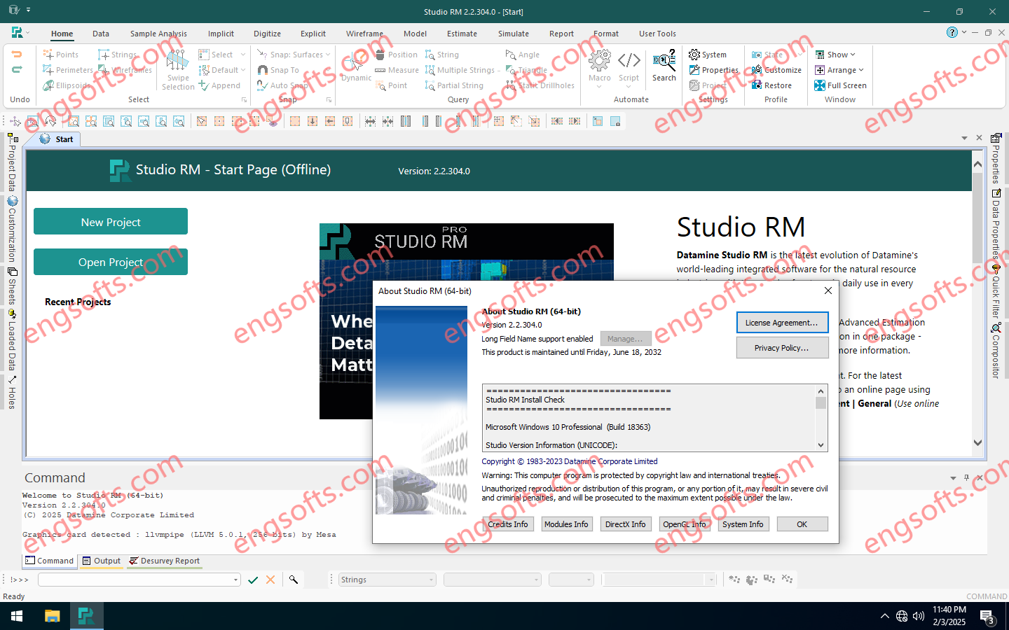
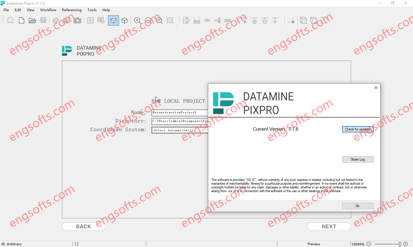
GEOVIA MineSched makes developing a tactical mine plan — a plan that turns the decisions defined in a long-term strategic mine plan into a schedule to guide day-to-day operations — breathtakingly easy by providing intuitive, rapid setup, and guided workflows that enable the creation of target-based, long- and short-term schedules from pre-created block and polygon models. Available versions: 2025.x ,2024.x ,… Geovia Minesched 2025 Tested Picture GEOVIA Tactical Mine Planner Produce practical and executable tactical mine plans from a long term strategic plan, for the optimal development and exploitation of the ore body. For open pit mines, accepts and schedules any number of pits For underground mines, supports scheduling of development advance as well as stope production Heuristic algorithms for...

POINTCAB 4BRICS PLUGIN (PointCab Plugin for BricsCAD) Our plugin for BricsCAD offers one of the most accessible workflows for modeling point clouds in BricsCAD. Available versions: 2.x , 1.x ,… PointCab 4BricsCAD 2.1 Tested Picture The brief overview of what the plugin has in store for you: No export/import of point cloud data necessary Direct transfer of lines, circles, etc. Direct transfer of 3D information Correct positioning of custom templates Data trasformation for other CAD software No navigating in the point cloud Compatible with BricsCAD Pro Platinum, version 22 – 25

POINTCAB 4AUTOCAD PLUGIN (PointCab Plugin for AutoDesk AutoCAD)Converting point cloud data and then importing it into AutoCAD is quite time-consuming. Once this is done, the laborious drawing and modeling on the point cloud follows. Available versions: 3.x , 2.x , 1.x ,… PointCab 4AutoCAD 3.0 Tested Picture Take a look at what functions our AutoCAD plugin has to offer: Connection with all main AutoCAD 2D functionalities Ability to transfer coordinates & distances Fixing and locking of axes while drawing Create connected lines, polylines, multilines & TIN surfaces Transfer from UCS to WCS Flatten heights in drawing Insert your own lisp scripts into our plugin (+ icons) Transfer Tool for layouts/sections Compatible with AutoCAD, version 23 -2026

PointCab Origins is your Swiss Army Knife for the evaluation of point cloud data – no matter from which laser scanner and compatible with all CAD and BIM systems. From point cloud registration to the creation of vector lines and the transfer of your results into your CAD system, Origins offers you the perfect point cloud workflow. Available versions: 4.2x , 4.1x ,… PointCabOrigins Pro 4.2R18 Tested Picture Point cloud evaluation with PointCab Origins is that simple: Fast and intuitive: Create a digital measurement, floor plans and more with just a few clicks – without long training. High connectivity: Origins is compatible with almost all laser scanners and CAD & BIM systems. Scan2BIM workflow from a single source: From point cloud registration to...

GEOVIA Surpac provides mining companies with the powerful, reliable, and customizable 3D mine planning and geological modelling software they need to deliver advanced drillhole-data management, perform rigorous statistical and geostatistical analyses, and develop comprehensive resource models, mine designs, and mine plans for either open pit or underground operations. Available versions: 2025.x ,2024.x ,… GEOVIA Surpac 2025 v7.8 Tested Picture With Surpac, geologists can quantify and evaluate the physical characteristics of a deposit, even with limited information. Engineers can visualize mine designs and plans that maximize ore recovery while complying with project constraints. Mine production teams can integrate vast amounts of data to determine the best way to extract reserves.

NeuraView is the solution to display, edit, process, annotate and print large documents. NeuraView will read any standard TIFF, JPG, BMP, PDS, PDF, CGM, EMF, and LAS image (color, grayscale, or black & white) and will display that image in the view window. From this interface, you can scroll, zoom and rotate the image. Save and print any desired isolated portion of the image. NeuraView 2025.05 Tested Picture Large documents, such as maps and well logs, require special equipment for scanning and printing and special software to view and manipulate with fast scrolling and zooming. The need for printing large documents arises as a result of working with and viewing these images. Few desktop publishing and CAD applications have the...
Built as a plugin to ArcGIS Pro, Discover for ArcGIS Pro is a comprehensive package for the importation, centralisation and analysis of geoscientific data, whether you are conducting mineral exploration, or environmental assessments. Available other versions: Datamine Discover 2.1.654 for ArcGIS Pro 3.1.x-3.3.x https://engsofts.com/wp-content/uploads/2025/08/Datamine.Discover.AddIn.2.2.for.ArcGIS.Pro.3.4.mp4 Datamine Discover 2.2.838 for ArcGIS Pro 3.4.x Tested Video Import drillhole data from numerous different data repositories and seamlessly refresh data as new data becomes available. Create legends to apply to all of your ArcGIS Pro data types: surface, drillhole, line or point data. Create section templates to manage all of your section data and styling in 2D or 3D to keep all section data in standard formats and styles across your project. Digitise data, register images on...

Leapfrog Works helps you visualise and understand your data so you can communicate risks with stakeholders of all technical levels – and make better decisions on all your civil engineering and environmental projects Available other versions: 2024.1 Seequent Leapfrog Works 2025.1 Tested Picture Save your time for interpretation Change how you look at and work with data using streamlined workflows. Generate cross sections rapidly and use tools that integrate your models with engineering designs. Increase the productivity of your 3D subsurface modelling with rapid creation and updating of geological models. As new data is input, your models and outputs (such as cross sections) dynamically update without needing to recreate them, saving both time and money. 3D subsurface modelling offers an...
GeoStudio 2025.1 introduces new functionalities such as Python scripting, 3D reinforcement analysis, and enhanced algorithms for limit equilibrium analysis.It also includes improvements in graphing, mesh refinement, and thermal conductivity estimation, all aimed at optimising geotechnical project workflows and results. Download the release notes for more information on the features and bug fixes included in GeoStudio 2025.1. Free Download Link Installer:https://downloads.seequent.com/Geoslope/GeoStudio-x64-25.1.0.1058.exe Patch:https://download.ru/files/G2gv2O3T

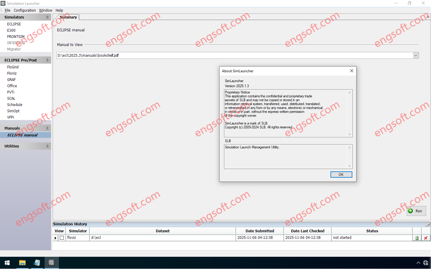
The Intersect™ reservoir simulator empowers reservoir engineers to tackle today’s most complex subsurface challenges with confidence. Combining leading science, superior performance, and flexible gridding, the Intersect simulator delivers fast, scalable modeling for every reservoir type—whether it is a mature oil and gas fields, appraisal/exploration fields, unconventionals, or new energy applications like CO2 storage. Seamlessly bridging data from geology, geophysics, geomechanics, and production engineering, the Intersect simulator enables smarter, more integrated workflows. It helps teams simulate reservoir behavior with greater accuracy, and in a faster, more cost-effective manner than ever before. Available other versions: 2024.1 , 2023.1 Schlumberger INTERSECT 2025.1 Tested Picture Key release highlights Black oil initialization for hydraulic fracture simulations now available! Unlock fast, accurate hydraulic fracture modeling with new...