The Trimble Inpho UASMaster software module combines ease of use with the full power of a photogrammetric workstation. Create powerful deliverables from images collected with UAS (Unmanned Aircraft Systems) aerial mapping and surveying systems. Available other versions: 14.1.3 Trimble UASMaster 2025 v15.0.5 Tested Picture Users of UASMaster version 15 gain a competitive advantage by delivering projects with higher accuracy and quality, setting a new standard in the industry. Precise Modeling The introduction of RealRay technology in version 15 ensures the highest level of precision achieved in georeferencing, significantly reducing errors caused by environmental factors. RealRay technology is integrated into the complete mapping workflow (nadir imagery) allowing high-altitude flights, oblique flights, or challenging mountainous terrain. UASMaster delivers consistent and reliable results...

Trimble Photogrammetry including ApplicationsMaster, MATCH-AT, MATCH-ATpushbroom, inBLOCK, MATCH-T DSM, MATCH-3DX, DTMaster, DTMaster BuildingAddOn, DPMaster, OrthoMaster and OrthoVista Available other versions: 14.1.3 Trimble Photogrammetry 2025 v15.0.5 Tested Picture Aerial imagery project workflow improvements MATCH-AT: Now with new Trimble RealRay technology, a sophisticated mathematical model designed to precisely estimate and correct image distortions caused by factors such as atmospheric refraction, mapping projection and geoid impacts MATCH-T DSM / MATCH-3DX: More comprehensive LAS and LAZ file support means that Point Data Record Format (PDRF) and ExtraBytes are supported throughout the complete workflow MATCH-3DX: Improved reconstruction of thin structures such as power lines, railings and masts. Mesh conversion processes are enhanced by the delivery of an optimized color adjustment as well as the faster conversion speed of mesh...

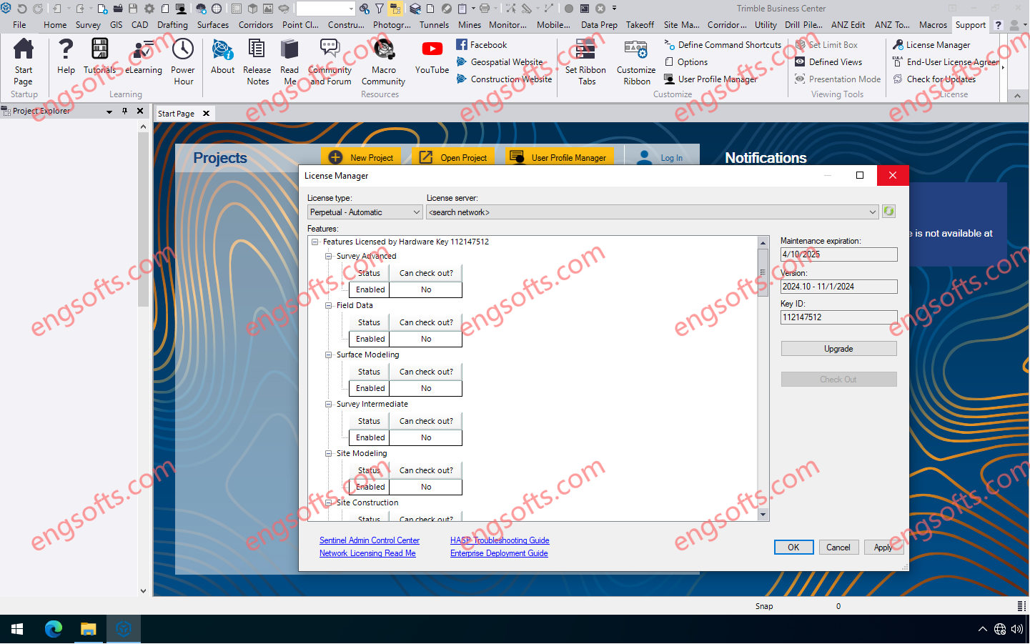
Trimble Business Center (TBC) software enables surveyors to transform field data from GNSS receivers, total stations, laser scanners, mobile mapping systems, drones and more into high-quality, actionable information and client deliverables. Available other versions: 2024.02 Trimble Business Center 2024.10 Tesed Picture Trimble Business Center 2024.10 features many new features and enhancements including the ability to create an orthomosaic TIFF photo of a vertical facade, and a new “Generic Point Feature Extraction” command which expands the Classification Training feature to perform Custom Feature Extraction through automatic or manual point creation instead of relying solely on predefined features. Mobile mapping users can now automatically extract linestrings from pavement lane lines in images captured with a Trimble Mobile Mapping system. TBC v2024.10 introduces...
Import point cloud data from virtually any source, then quickly process, analyze and create high-quality deliverables with the automated tools and point cloud-specific workflows of Trimble RealWorks software. Trimble RealWorks 2024.13 Resolved issues Start page: Crash when using projects containing non-ASCII characters. Stability: Improved stability with NVIDIA RTX GPUs (Ampere generation and later). Security Vulnerability: Fixed CVE-2023-45853 vulnerability linked to zlib dll. Security Vulnerability: Fixed CVE-2024-21907 vulnerability linked to Newtonsoft.Json dll.