Welcome:
Dear Engineers
Total 1 posts

Tag:TopoDOT

Certainty3D TopoDOT 2024.2 For Microstation

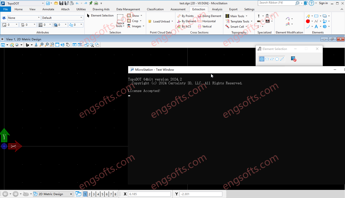
TopoDOT is a comprehensive solution to manage point cloud data, assess data quality and extract topographies, models, analyses and other forms of digital twins. Geospatial data acquired along road, rail, utility and other land survey applications present unique processing challenges. The TopoDOT production process is designed to meet these challenges with the right balance between automation and quality, thereby ensuring complex project requirements are met at the lowest possible cost. Requirement:MicroStation CONNECT Update 15+ Certainty3D TopoDOT 2024.2 For Microstation Tested Picture Road TopoDOT realizes the inherent value of point cloud data acquired along road and highway transportation corridors. Intuitive yet highly automated tools extract complex features quickly and accurately. A quality-controlled process delivers topography models, 3D structural models, GIS asset...

Login

Register