Welcome:
Dear Engineers
Total 6 posts

Tag:MIKE

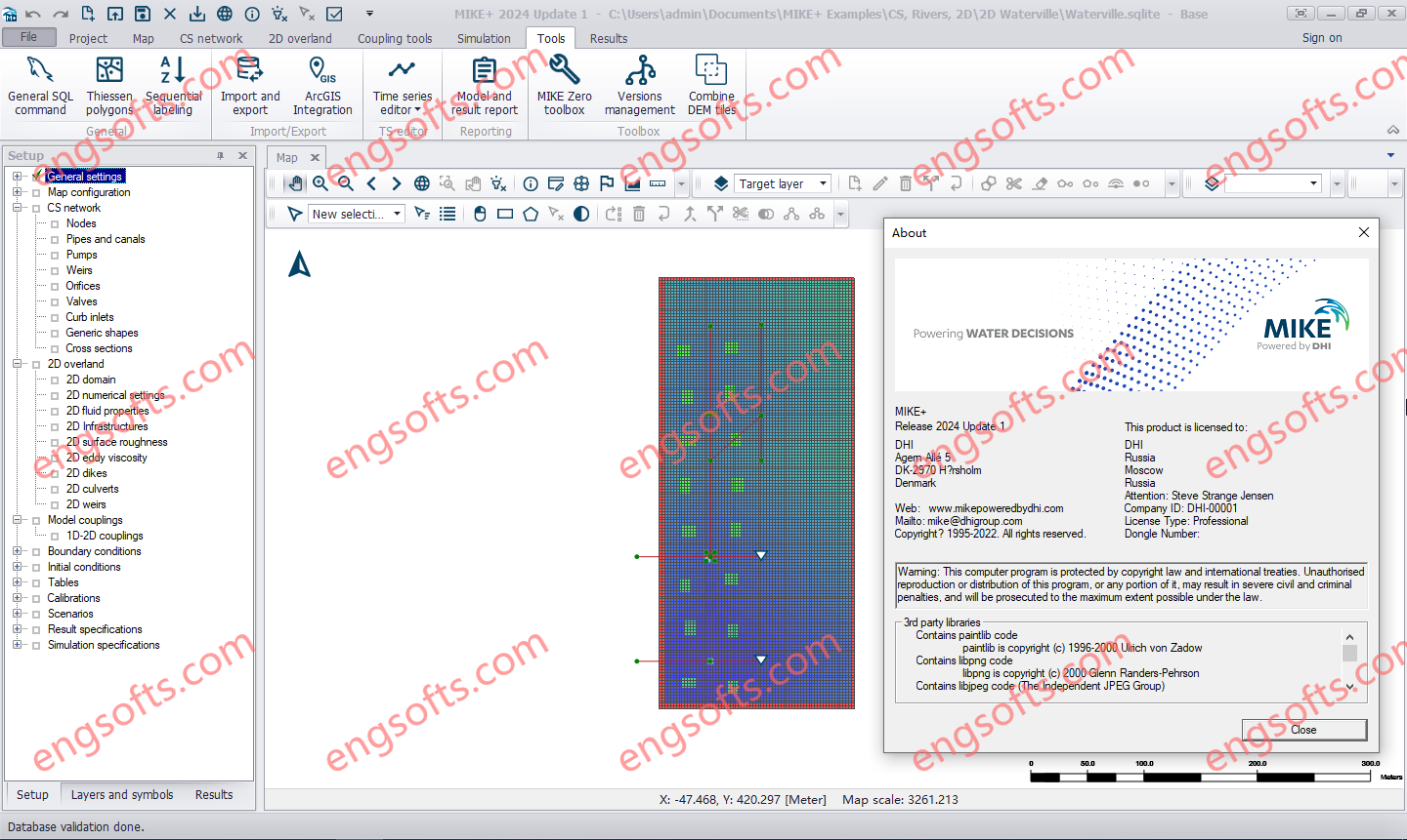
DHI MIKE+ 2024 Update1

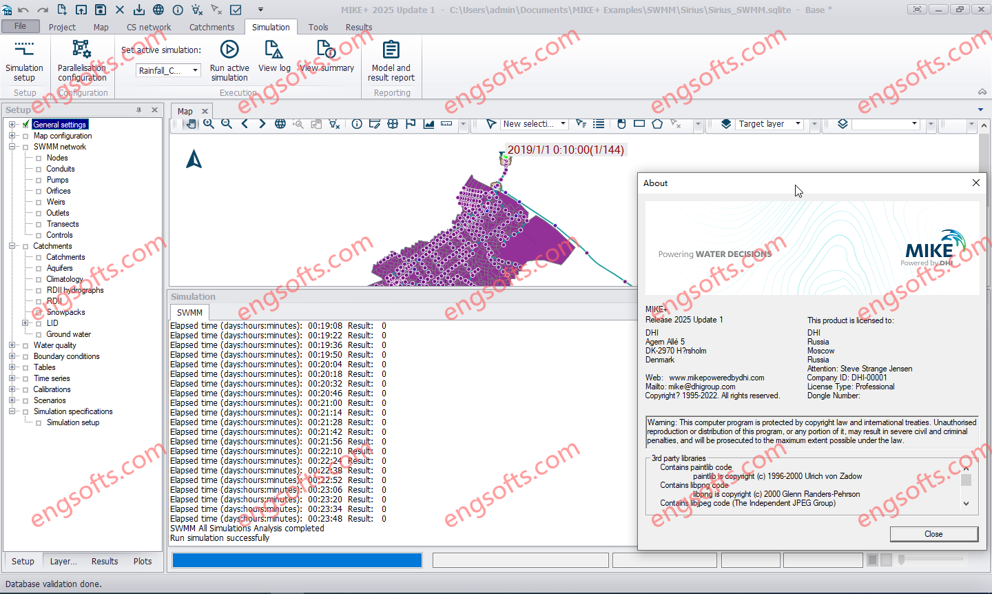
DHI MIKE+ 2024 introduces numerous enhancements, including BIM file display, Profile Plots, and Version Management improvements. It also extends the Catchment Processing tool, adds a Zone Water Balance feature, Flood Polygons tool, and introduces VSD pump control. MIKE+ helps you integrate, model and manage all your water systems on ONE platform for the most comprehensive analyses of your waterways. Such customised insights can help you develop comprehensive plans, optimise systems’ performance and so much more. Best yet, you’ll have all the latest analytical methods and data at your fingertips. DHI MIKE+ 2024 Tested Picture Apply the power of MIKE+ to all your water systems The analysis options are nearly endless across applications with MIKE+. Water Distribution Networks: Develop dynamic water distribution networks by performing hydraulic...

Geo Views(179)Comment

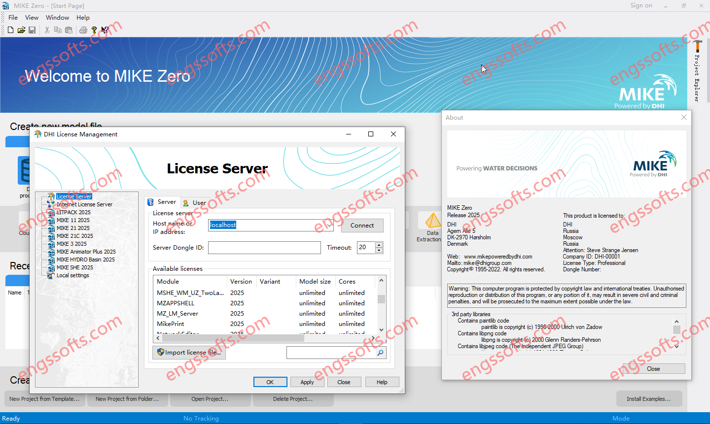
DHI MIKE Zero 2024 Update1

MIKE Zero is the common name of DHI’s fully Windows integrated graphical user interface for setting up simulations, pre- and post-processing analysis, presentation and visualisation within a project oriented environment. Presently, the MIKE Zero framework gives access to the following DHI modelling systems: DHI MIKE Zero 2024 Tested Picture – MIKE HYDRO – A physical and conceptual model system for catchments, rivers and floodplains. – MIKE 11 – a 1D modelling system for rivers and channels. – MIKE 21 – a 2D modelling system for estuaries, coastal water and seas. – MIKE 3 – a 3D modelling system for deep seas, estuaries and coastal waters. – MIKE 21/3 – Integrated Models (including the MIKE 21/3 Coupled Model FM, which allows...

Geo Views(201)Comment

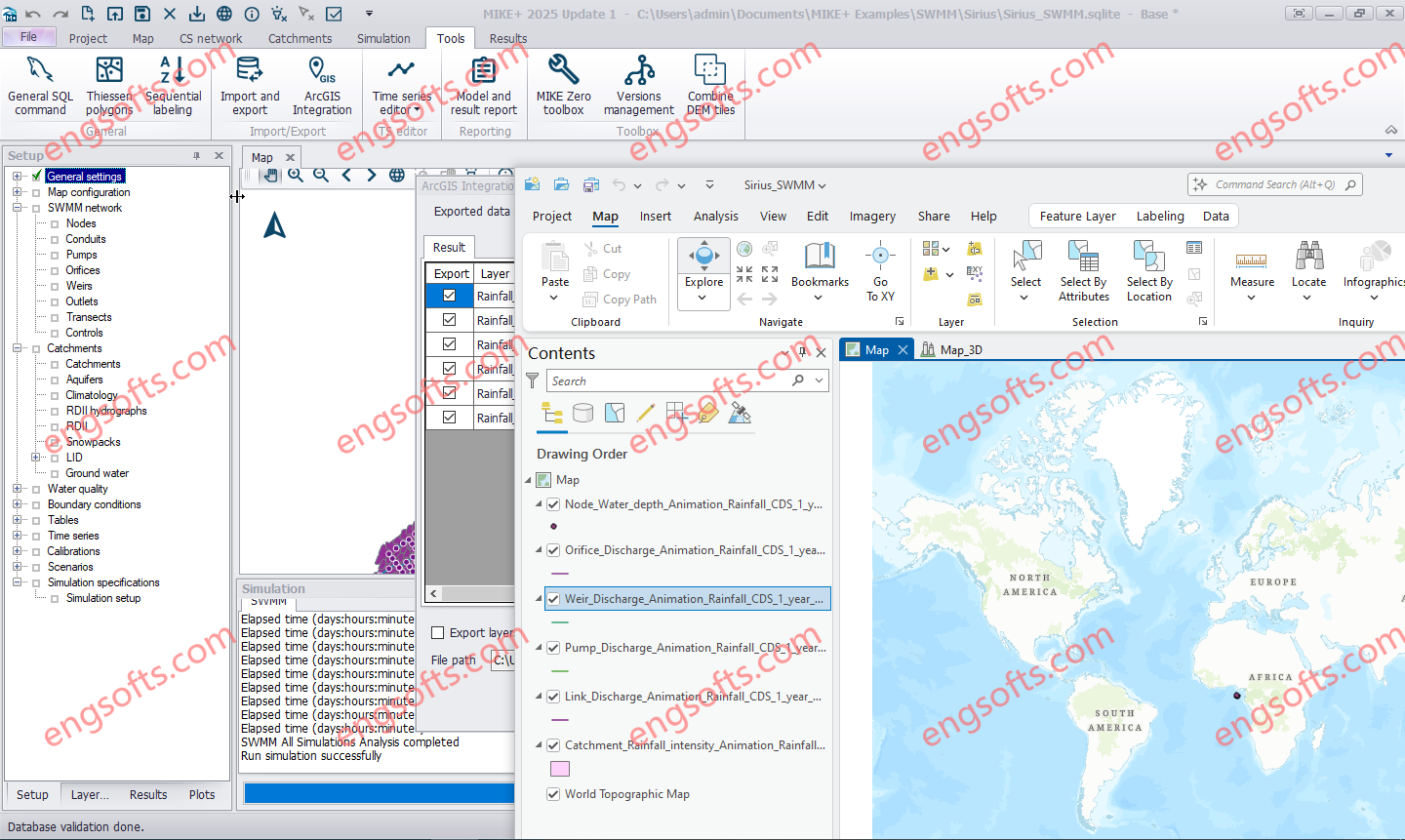
DHI MIKE+ ArcGIS Pro 2024 Update1

Combine MIKE+ with ArcGIS Pro 3.1 capabilities and open the door to industry-leading Esri software. MIKE+ ArcGIS Pro 3.1 gives you access to sophisticated spatial processing technology to make you more efficient in preparing spatial data or when analysing and visualising model outputs. Plus, rivers, 2D overland, and SWMM data are all supported – together with their results in 1D and 2D. DHI MIKE+ ArcGIS Pro 2024 Update1 Tested Picture MIKE+ is a comprehensive platform featuring integrated modules and tools designed to model, analyse, and manage various aspects of water systems. These include pipe networks, rivers, tidal areas, and more. By simplifying modelling and consolidating technology, MIKE+ empowers users to optimise water management strategies, make informed decisions, and bolster the...

DHI MIKE+ 2023

MIKE+ offers a full suite of integrated software solutions for water systems with a flexible and scalable model manager layer at its core. The MIKE+ platform allows you to plug and play with different modules to customise water management solutions. They’re powerful alone – but even better when used together. Plus, some modules are transversal, so you can use them across your collection systems, rivers and flooding challenges. That’s the power of an integrated water modelling platform. MIKE+ Rainfall Runoff Prepare multiple rainfall-runoff models in one simulation. Choose between the Time-Area method, Kinematic Wave routing method, LIDS options, linear reservoir models, Storm Water Quality Method or UHM. You can even combine these models with rainfall-dependent inflow and infiltration (RDI). MIKE+...

Geo Views(161)Comment

DHI MIKE ZERO 2023

MIKE Powered by DHI the part of DHI, the global organisation dedicated to solving challenges in water environments worldwide, has released update of DHI MIKE Zero 2023, is the ideal and preferred software package for your business within water environments. The MIKE product family is the only product suite that covers all aspects of water and environment, from source to tap and from mountain top to the ocean. Through close links to DHI’s research and consulting activities, MIKE products are always leading the way by using the latest science, and at the same time are flexible and efficient engineering tools. Water modelling and GIS for cities MIKE URBAN is the only modelling software that covers all aspects of water, wastewater...

Geo Views(168)Comment

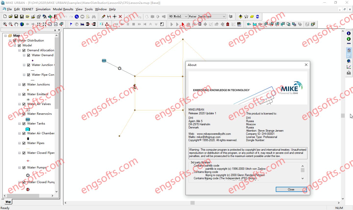
DHI MIKE URBAN 2020.1

MIKE Urban is a very efficient software from DHI company for modeling and analyzing urban water supply networks.This program will be ideal when you need a model that, in addition to high accuracy, stability, freedom of action, flexibility and compatibility with GIS and 1 systems. This program can model or analyze all water networks such as water supply systems, sewage collection and transmission network, drainage systems or a combination of systems together. DHI MIKE URBAN 2020.1 Tested Picture MIKE Urban is a comprehensive software package that applies to all activities related to urban water modeling.With this program, your productivity will definitely increase and you will be able to make a precise investment in GIS projects and water networks.All GIS licenses and...

Geo Views(17)Comment

Login

Register