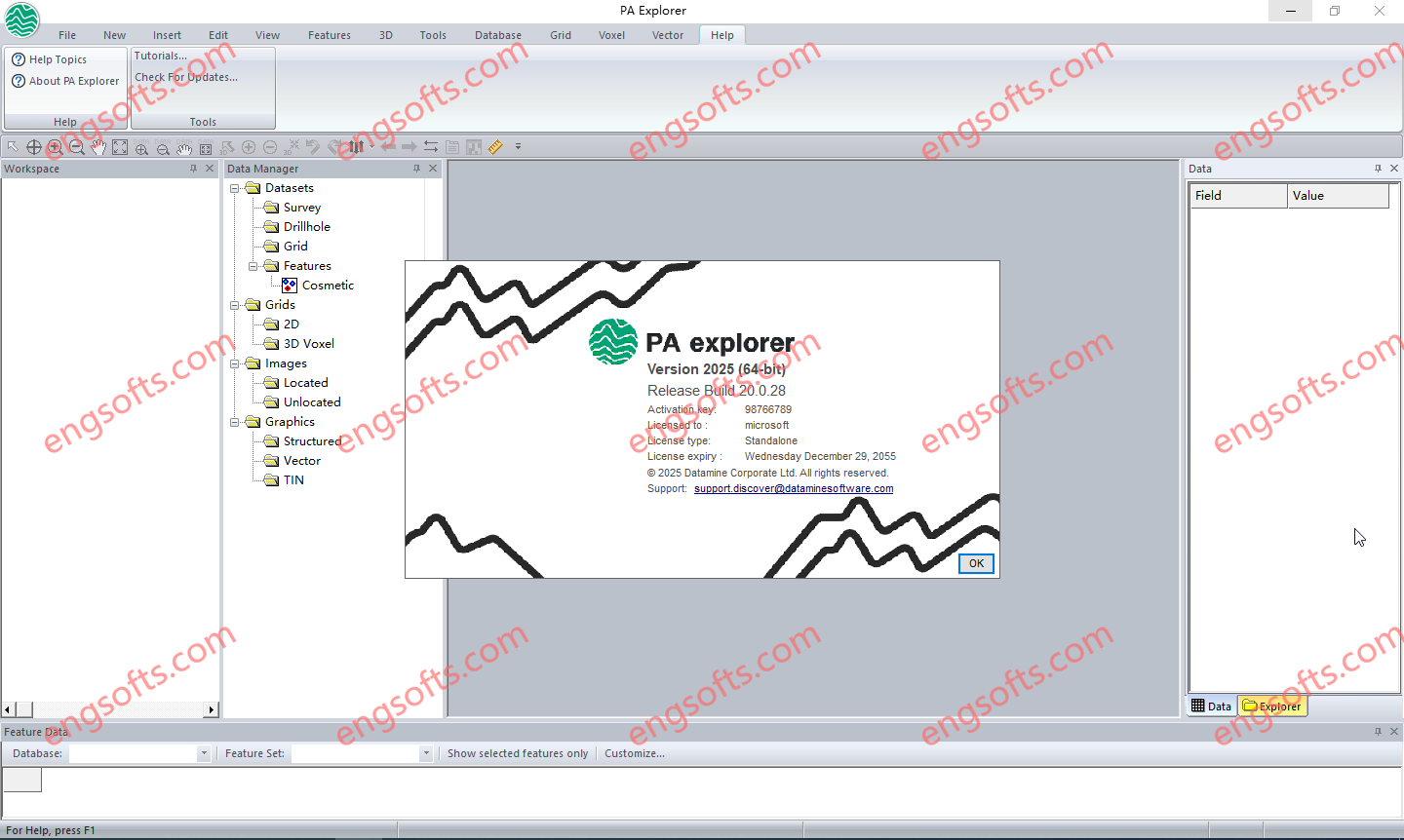
Welcome:
Dear Engineers
Total 2 posts

Tag:Explorer

Datamine PA Explorer 2025 v20.0.3-Engsofts

Datamine PA Explorer 2025 v20.0.3

PA Explorer is a sophisticated application designed for analysing and visualising geophysical data in profiles, maps, and 3D displays. It supports single or multi-channel data from both airborne and ground surveys, including airborne electromagnetic (AEM) and potential field data such as gravity and magnetic surveys. With advanced 2D and 3D visualisation capabilities, PA Explorer offers interactive interpretation features and templates that streamline the creation of application-specific displays. Geophysicists and exploration geologists can easily combine profiles, sections, maps, and graphs to produce high-quality outputs, making the routine production of maps, sections, and profiles straightforward and efficient. Datamine PA Explorer 2025 v20.0.3 Tested Picture What’s new in version 20.0.3 (17 February 2025) Allow multi-selection of workspace tree items. Enable feature editing controls...

NovAtel Inertial Explorer 9.0-Engsofts

NovAtel Inertial Explorer 9.0

Inertial Explorer maximizes the performance of your GNSS/INS hardware by ensuring you get the position, velocity and attitude accuracy your application requires. The tightly coupled integration of GNSS and IMU data delivers precise results, even when lower grade inertial sensors are used. IE can produce results suitable for demanding applications such as mobile mapping, aerial and hydrographic surveying. IMU data from high end Fibre Optic Gyro (FOG) or Ring Laser Gyro (RLG) IMUs, and from lower grade sensor technology such as Micro Electrical Mechanical Systems (MEMS) can be processed. NovAtel Inertial Explorer 9.0 Tested Picture Inertial Explorer has workflows to match your business and your expertise. A project wizard is available to allow new GNSS/INS users to become productive quickly....

Login

Register