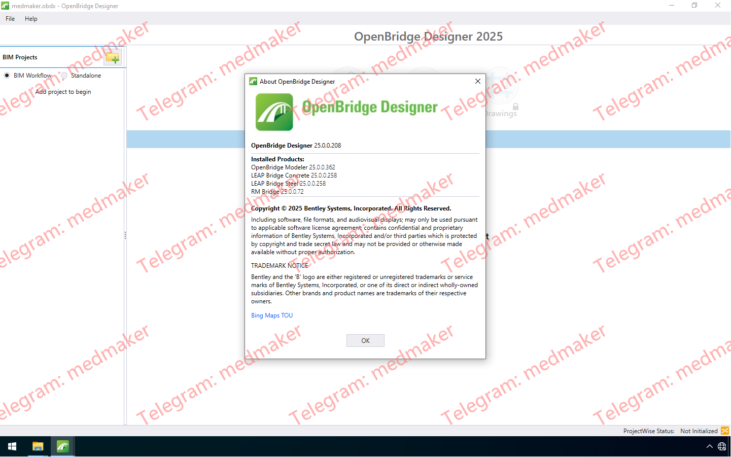
OpenBridge Designer 2025 提供了强大的新功能,可简化您的工作流程,增强您的建模能力,并改善整个项目团队的协作。该应用程序利用OpenBridge Modeler的建模功能和LEAP Bridge Concrete的分析和设计功能来满足混凝土和钢桥梁的设计和施工需求。主要包括OpenBridge Modeler、LEAP Bridge Concrete、LEAP Bridge Steel和RM Bridge Advanced四个模块。 可用版本: 2025.x … Bentley OpenBridge Designer 2025 v25.00 彻底改变您的桥梁项目的关键增强功能: 高级钢管桥建模 更灵活、更直观的工作流程 增强的分析互操作性 新增独立版 OpenBridge Modeler 选项 复杂钢结构建模变得更加轻松。许多桥梁设计,尤其是钢管桥,都需要像横梁和加劲肋这样精细的构件,而这些构件通常难以精确建模。借助 OpenBridge 2025,您现在可以直接在应用程序中对这些复杂的构件进行建模。此增强功能无需手动操作,从而减少错误并节省宝贵的设计时间,同时还能提高模型的精细度。 适用于每个团队的直观 2D/3D 设计环境 我们知道每个设计团队的工作方式都不尽相同。为了提供更大的灵活性,OpenBridge 2025 引入了独立的 OpenBridge Modeler 选项,允许您在需要时脱离集成式设计分析工作流程进行操作。我们还新增了 2D/3D 工作流程,为习惯于 2D 环境的用户提供更熟悉、更直观的体验。这些增强功能旨在使您的设计流程更流畅、更快捷,并更好地适应您项目的特定需求。 增强的 LEAP 互操作性,实现更佳的分析 将物理模型与分析模型无缝连接对于高效的设计流程至关重要。OpenBridge 2025 通过增强 OpenBridge Modeler 与 LEAP 分析引擎之间的互操作性,强化了这种连接。复杂构件(例如带端部偏移的桥面板、混凝土隔板和带钢 H 型桩的桩基)的传输现在更加稳健可靠。这确保您的分析模型能够准确反映您的设计意图,从而获得更佳的分析结果和更高质量的设计。 以上仅是 OpenBridge 2025 众多增强功能中的一部分。从更灵活的建模工作流程到更深入的分析集成,此版本旨在提升您的效率、改进决策,并为桥梁设计提供更全面的解决方案。无论您是桥梁结构工程师、绘图员,还是大型多学科团队的成员,这些更新都将帮助您以前所未有的速度交付更优质、更安全的桥梁。 More Information in English: Bentley OpenBridge Designer 2025 v25.00
Openrail Designer 2025即可满足您地铁、轻轨、通勤铁路或高速铁路设计项目的所有需求,节省轨道、车站和车辆段的设计和维护时间,同时显著提高生产效率。 可用版本: 2025.x … Bentley OpenRail Designer 2025 v25.00 通过专注于高级自动化、数据完整性和高保真地理空间集成,此次更新彻底改变了复杂铁路网络(从日常维护到高速巨型项目)的设计和管理方式。 随着全球对韧性基础设施的需求不断增长,2025 年更新通过将工程重点从繁琐的数据管理转移到高层次的决策制定,有效应对了现实世界的压力。 此次更新的核心亮点是增强的复杂重新定义和替换工具,该工具现在全面支持水平和垂直几何形状。这使得工程师能够同时更新全面的路线图,从而大幅减少项目需求变化时通常需要进行的返工。 为了从一开始就确保安全性和精确性,该软件引入了“验证回归数据”工具,该工具在测量数据进入设计阶段之前,会根据用户定义的公差检查测量数据。该工具与增强的“超高编辑器”和新的净空报告功能配合使用,确保每个设计都能以更少的迭代次数满足严格的合规标准。 有效的设计还需要考虑环境背景,因此 Bentley 将 Google Maps 3D Tiles 直接集成到工作区中。这使得工程师能够利用逼真的 3D 图像和最新的卫星数据来评估项目。此外,ArcGIS 集成的新技术预览版能够提供更全面的项目视图,帮助团队更清晰地识别潜在冲突并评估环境影响。 除了几何图形之外,此次更新还引入了显著的自动化功能,使工程师摆脱重复性工作。例如,该软件现在支持低压资产沟槽的批量处理,并具备“空白区域管理”功能,可在设计迭代过程中保留手动标注。 为了保护项目基础,全新的 Civil 文件健康监控系统充当自动守护者的角色,跟踪文件历史记录并执行自动修复以防止数据损坏。 More Information in English: Bentley OpenRail Designer 2025 v25.00
SPIDAcalc 使收集、建模和优化架空电信和配电资产变得简单,让您能够透明地控制收集、材料规格和分析方法,并拥有更大的灵活性。 可用版本: 2025.x … Bentley SPIDACalc 2025.0.2 功能和特点 可配置的拖放式用户界面 模拟单极架空电力和通信系统 对杆塔荷载、净空和剩余强度进行几何非线性分析 预设 NESC、CSA、GO95 安全规范标准,或构建自定义荷载工况 More Information in English: Bentley SPIDACalc 2025.0.2
PLAXIS 3D 使岩土工程师能够对土木、采矿、能源和环境领域的高知名度土石工程项目进行复杂的三维有限元分析。 分析地面和地下开挖、浅基础、桩基础和近海基础、路堤、地基改良措施和隧道。考虑静态、动态或地震荷载以及随时间变化的水位和流量等复杂水文条件。 可用版本: 2025.x , 2024.x ,… Seequent PLAXIS 3D 2025.1 新增功能: PLAXIS 3D 2025.1 新增计算输入和结果数据库 重新设计了应用程序的计算输入和计算结果,实现了 PLAXIS 数据的多项改进和更高的一致性。更改涵盖计算输入、结果计算、结果衍生、曲线性能和结果可用性。显著更改包括: 改进了结果从应力点到节点的外推,尤其是对于 15 节点的三角形单元。 不再从应力点外推有些在节点上本机计算的耦合和流量计算结果。 某些计算类型或孔压计算组合等的不存在的结果类型现在显示为不可用,而非零。 改进了 UDSM 结果的可靠性和可检查性,包括其在使用多个 UDSM 时的状态参数。 有些由内核完成的计算预处理(关于具有不同连接土体或结构激活状态的阶段的荷载或锚连接性)已迁移到计算预览,现在可以在计算前进行检查。 现在可以在生成的网格的网格视图中查看约束、指定位移和荷载。 大幅增强了计算前和计算后曲线生成的性能。 应力点上提供了更多曲线绘图结果,比如位移。 已解决已知问题:位移约束现在可以正确地自动应用到模型边界上的梁单元。 由于此重大更改,打开旧版本文件夹时,文件夹将被使用 2025.1 格式进行转换并使用 a _converted 后缀进行保存,且要求进行重新网格化和重新计算。 为了方便向新版本过渡,而不会阻碍正在进行的项目,支持与以前版本的 PLAXIS 进行并行安装。 其他更改和改进 改进了 checkgeometry 命令的性能,可更快速地返回相邻几何图形对。 PLAXIS 项目中的动态边界条件选项现在仅显示允许的选项,而非所有选项。受此问题影响的 PLAXIS 2024.3 项目可以使用 PLAXIS 2025.1 打开以进行修复。 对于用户在准备阶段导入的潜水位,大幅改进了模型孔压计算的速度,尤其是在精细有限元网格的情况下。 修复了有些情况下 CAD 文件导入由于 DXF 导入程序的许可证错误而失败的问题。 将 Python 环境升级到了 Python 3.12.11 以跟上最新的安全改进。 修复了模型包含板,且材料集选项“防止冲孔”标记为激活时,计算可能会停止并显示错误代码 Error code 256 的问题。 More Information in English: Seequent PLAXIS 3D 2025.1
PLAXIS 2D 是全球岩土工程师最信赖的工具,用于分析开挖、路堤、地基改良措施、基础、隧道和其他关键结构。 可用版本: 2025.x , 2024.x ,… Seequent PLAXIS 2D 2025.1 PLAXIS 2D 2025.1 中的新增功能 新增计算输入和结果数据库 重新设计了应用程序的计算输入和计算结果,实现了 PLAXIS 数据的多项改进和更高的一致性。更改涵盖计算输入、结果计算、结果衍生、曲线性能和结果可用性。显著更改包括: 改进了结果从应力点到节点的外推,尤其是对于 15 节点的三角形单元。 不再从应力点外推有些在节点上本机计算的耦合、流量和热计算结果。 某些计算类型或孔压计算组合等的不存在的结果类型现在显示为“不可用”,而非零。 改进了 UDSM 结果的可靠性和可检查性,包括其在使用多个 UDSM 时的状态参数。 有些由内核完成的计算预处理(关于具有不同连接土体或结构激活状态的阶段的荷载或锚连接性)已迁移到计算预览,现在可以在计算前进行检查。 大幅增强了计算前和计算后曲线生成的性能。 现在曲线点包括特定节点或应力点可用的所有结果类型,比如本地模型和 UDSM 状态参数。 由于此重大更改,打开旧版本文件夹时,文件夹将被使用 2025.1 格式进行转换并使用 a _converted 后缀进行保存,且要求进行重新网格化和重新计算。 为了方便向新版本过渡,而不会阻碍正在进行的项目,支持与以前版本的 PLAXIS 进行并行安装。 其他更改和改进 改进了 checkgeometry 命令的性能,可更快速地返回相邻几何图形对。 PLAXIS 项目中的动态边界条件选项现在仅显示允许的选项,而非所有选项。受此问题影响的 PLAXIS 2024.3 项目可以使用 PLAXIS 2025.1 打开以进行修复。 修复了有些情况下 CAD 文件导入由于 DXF 导入程序的许可证错误而失败的问题。 将 Python 环境升级到了 Python 3.12.11 以跟上最新的安全改进。 从 PLAXIS 2D 软件移除了 PLAXIS LE(技术预览)功能。 More Information in English: Seequent PLAXIS 2D 2025.1
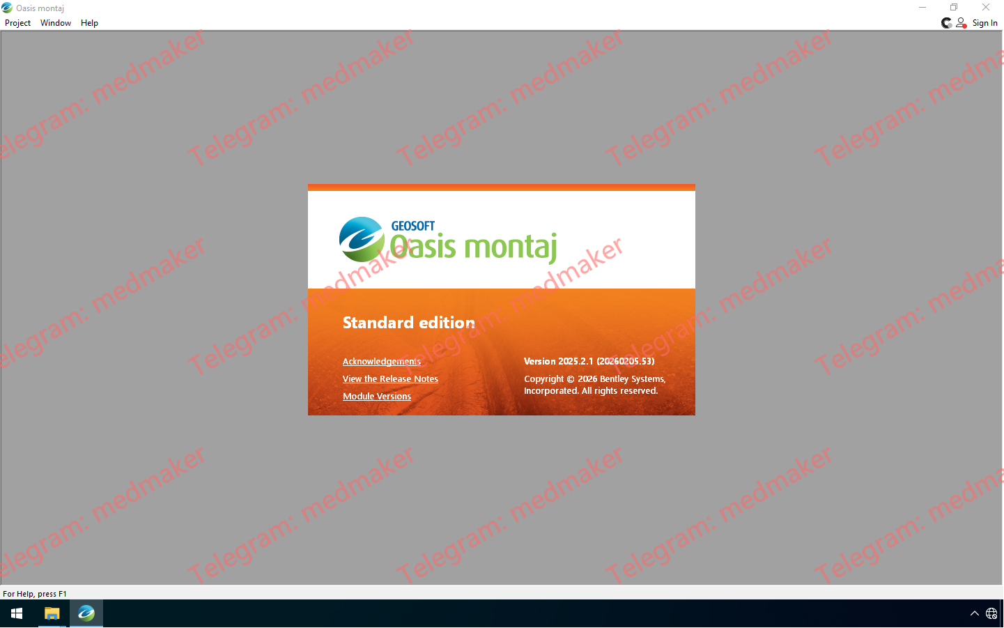
Oasis montaj 2025.2 引入了与 Medusa Radiometrics 合作开发的辐射测量扩展,带来了符合 IAEA 标准的校正和 NASVD/特征向量选择的引导式工作流程。Oasis montaj 2025.2.1 是一个维护版本,解决了 2025.2 版本中发现的少量问题,包括重力地形校正和安装工作流程的更新。 可用版本: 2025.xx , 2024.xx , … Seequent Oasis Montaj 2025.2.1 新增和改进的功能包括: 辐射测量扩展(与 Medusa Radiometrics 合作开发) 改进的重力数据处理 按产品分组的菜单,更快找到工具 按产品分组的菜单,导航更快捷 导入 ArcGIS Pro 3.3+ LYRX 文件 查看支持的 Evo 模式,以便导入/导出 More Information in English: Seequent Oasis Montaj 2025.2.1
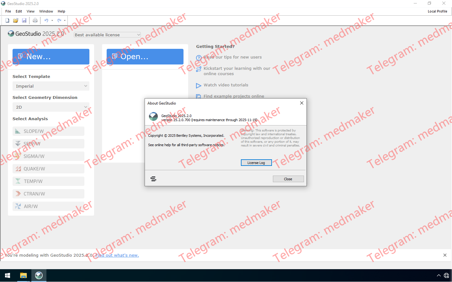
GeoStudio 2025.2 引入了多项新功能,包括高 DPI 显示支持、增强的 3D 扫描选项以及扩展的 Python 脚本功能。 此外,它还新增了 2D/3D 加筋板承载力输入功能,并全面支持日语,所有这些改进旨在提升岩土工程专业人员的建模精度、自动化程度和易用性。 可用版本: 2025.2.x ,… Seequent GeoStudio 2025.2 GeoStudio 2025.2 让建模更加精准,自动化更加便捷,也让全球更多用户能够轻松使用该软件。它引入了 3D 扫描选项,改进了 GeoStudio Python 脚本 API(包括更强大的网格查询功能),全面支持日语,并兼容高 DPI 显示。 GeoStudio 2025.2 的新增和改进功能 高 DPI 支持 GeoStudio 现在增强了对高分辨率显示器的支持,解决了之前影响现代屏幕可用性的长期 UI 缩放问题。此次更新无需用户手动调整屏幕分辨率即可获得清晰易读的界面,从而在各种设备上提供更流畅、更一致的视觉体验。通过解决这一技术难题,我们对软件质量和用户体验进行了意义深远的投入,确保 GeoStudio 在高 DPI 环境下也能呈现预期的外观和性能。 新增二维和三维加筋板承载力输入 GeoStudio 现已支持 SLOPE2D 和 SLOPE3D 中锚杆、钉子和土工合成材料加筋材料的板承载力输入。此项改进使 GeoStudio 的建模功能与同类产品保持一致,并允许用户考虑土-结构界面处的潜在结构薄弱环节。通过考虑板承载力,工程师可以更好地评估破坏机制并设计更稳健的加筋系统。 新增日语支持 GeoStudio 现已全面支持日语。这项本地化工作确保日本的工程师和岩土工程专业人员能够使用母语更舒适、更高效地工作,从而提升可访问性和用户体验。通过投资多语言功能,我们进一步履行了对全球可用性的承诺,并支持我们不断增长的国际用户群体。 增强的 3D 建模扫描选项 扫描是一种广泛使用的几何体创建技术,它通过沿曲线“扫描”轮廓(例如沟槽的横截面)来生成实体或曲面。特殊的轮廓条件有时会导致意想不到的形状或错误。借助全新增强的扫描选项,用户可以更灵活地控制复杂的几何场景,从而更加自信地应对。这些改进能够实现更可预测、更精确的结果,与用户的设计意图保持一致,最终节省时间并减少建模工作量。 改进的 Python 脚本 API 此版本改进了 GeoStudio Python 脚本 API,使用户在自动化工作流程时拥有更高的控制力和效率。用户现在可以查询任意笛卡尔坐标处的网格,从而实现更精确的数据提取和分析。此外,还进行了性能优化,缩短了通过脚本触发操作时的求解时间。此外,扩展的文档和更多示例脚本简化了入门流程,使用户更容易利用脚本功能。这些更新体现了我们持续致力于提升 GeoStudio 的易用性和可扩展性,并为高级用户提供强大且可脚本化的访问权限。 More Information in English: Seequent GeoStudio 2025.2
Studio UG 4.1 引入了重新设计的 Mineable Shapes Optimizer (MSO) 5.0,对调度和运输依赖性工作流程进行了重大改进,扩展了验证选项,并新增或增强了多个命令,从而简化了地下设计和规划流程。 可用版本: 4.1.x , 4.0.x ,… Datamine Studio UG 2025 v4.0 MSO 5.0 已完全重构,采用全新的引导式工作流程,简化了模型设置、经济和框架参数定义、形状控制配置以及报告生成等操作。这一直观的向导在提升易用性的同时,保留了 MSO 一贯的精细控制功能,使采场优化流程更加便捷高效。新版本支持切片和边界框架类型,预计不久将支持棱柱框架。在此过渡阶段,用户仍可通过“报告”功能区访问旧版和更新后的 MSO 工具。MSO 5.0 还配备了全新的帮助文件,其中包含屏幕概览和学习活动。 调度方面的一项重大改进是引入了新的运输活动“网络”依赖关系规则。该规则可自动解析设计字符串配置以创建依赖关系,从而显著减少设置复杂调度所需的工作量和时间。新增的字符串方向验证选项支持此功能,确保斜坡道、水平巷道、矿石巷道和横切巷道等设计元素得到正确表示。系统还可以根据可配置的公差自动生成逼真的交互和道路连接,帮助您生成更一致、更可重复的调度。 除了这些改进之外,Studio UG 现在会在动画播放期间显示依赖关系数据,帮助您更好地了解活动的顺序。新的“准备面板”将设计和定义工具整合到一个简化的区域,使您无需重新加载数据即可更高效地进行属性和分配设计定义。新增的轮廓验证选项现在可以标记方位角或倾角变化过大的设计字符串,进一步提高输入数据的完整性。 其他更新包括对多个命令的增强:COPYMOD、REBLOCK 和 WIREFILL 现在支持检索条件;INTEXT 可以与数据或设置文件一起使用,也可以不使用;smooth-gradient 支持全字符串平滑;并且新增了 digitise-doughnut 命令,用于对封闭的内部结构进行建模。此版本还包含 new-string 和 extend-string 的增强型数字化功能的早期访问权限,从而为您的地下矿山规划工作流程提供更多优化功能。 相关文档: Studio UG Help (4.1) Studio UG 4.1 Release Notes (PDF) More Information in English: Datamine Studio UG 2025 v4.1
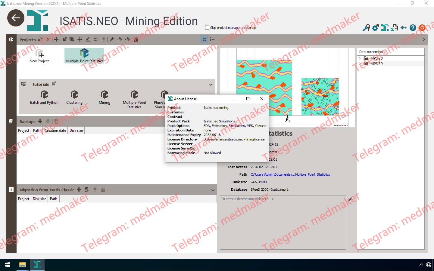
Isatis.neo 2025.3 对 Python 集成、估算和模拟工作流程以及 3D 可视化进行了重大改进,使您的建模过程更加灵活、一致且符合地质实际情况。 可用版本: 2025.x , 2024.x ,… Under “Statistics” menu, there is “EDA”, “Statistics”,”Simulations”, and other functions are FULL work well. 得益于“首选项”中新增的 Python 选项卡,Python 工作流程的配置和调整变得更加便捷。您可以通过此选项卡快速在项目环境中添加和管理外部 Python 模块。无论您是从 PyPI 安装还是使用本地文件,所选库都可立即用于脚本、计算器和批处理程序,从而在 Isatis.neo 中提供更高的灵活性、自定义性和互操作性。 此次版本更新还改进了完整的估算和模拟工作流程。新增的“软边界”工具提供了一种简单易用的接触分析替代方案。它允许您按指定距离扩展网格定义的选区。这使得跨域边界的信息共享得以实现,有助于减少边缘效应并生成更符合地质实际情况的估算结果。“局部各向异性”任务现在包含一种针对近水平参考面的全新定向方法,以及更平滑的方向过渡和更佳的数值稳定性,从而确保更具地质一致性的空间连续性。 通过在单个邻域内进行多变量封顶,估算可靠性得到了进一步提升。这项新功能简化了对多个变量极端值的处理,并有助于确保多变量工作流程中结果的一致性。模拟选项也更加多样化,现在可以使用简单克里金法作为严格平稳性下 PluriGaussian 模拟的条件方法,从而更好地将地统计学方法与项目目标相匹配。 克里金任务中的多变量封顶 最后,现在您可以更轻松地一目了然地了解您的模型。您可以在 3D 查看器和剖面查看器中直接在 3D 网格单元格内显示变量值。凭借完全可自定义的标签内容、布局和样式,此功能加强了数据与其空间背景之间的联系,使结果更易于解释、比较和共享。 More Information in English: ISATIS.NEO Mining 2025.1
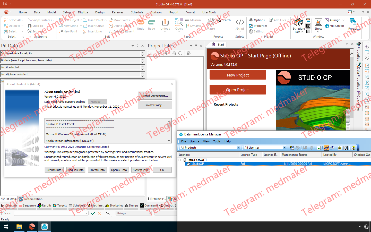
Studio OP 4.1 引入了用于交互式坑道设计的边缘编辑器。该编辑器在 Studio UG 中已广受欢迎,它有助于精确控制边缘操作,直接编辑几何体以满足设计目标,并实时查看更新。 可用版本: 4.1.x , 4.0.x ,… Datamine Studio OP 2025 v4.0 新增的“数字化甜甜圈”命令可以创建带有内部空隙的封闭字符串,非常适合精确模拟矿坑设计中的嵌套结构或更复杂的块体边界。 数据驱动程序也迎来了一些重大更新:新增的 Geosoft® 驱动程序支持导入地球物理领域常用的体素模型数据。此外,还新增了 Leapfrog® 输入(项目文件和网格),以及新的多文件加载功能,可一次性加载任意格式的多个文件。 除此之外,常用功能仍保留了标准的“视图”、“数据”和“格式”功能区,Studio 系列产品的主布局也已统一。针对特定领域的用户,我们仍然保留了产品特定的自定义功能。 根据用户反馈,我们恢复了之前的默认图例创建行为(我们承认,更改此行为并非明智之举,对此我们深表歉意)。除了恢复用户喜爱的功能外,我们还增强了 3D 属性屏幕中的图例控件,并使其使用更加清晰。吸取教训! 部分用户希望我们能提供一种方法来约束矿山设计工作,以确保设计结果符合运营要求(例如矿山宽度、坡度、一致的开采方向等)。为此,我们正在试用一种针对新建矿段和延伸矿段命令的高级数字化模式。您可以在“项目设置”中启用此新模式,并控制后续矿段的方位角、长度和倾角设置。欢迎您提出宝贵意见。 文档: Studio OP Help (4.1) Studio OP 4.1 Release Notes (PDF) More Information in English: Datamine Studio OP 2025 v4.1