Leica CloudWorx for Navisworks is a new plug-in software for using as-built point cloud data – captured by laser scanners – directly within Navisworks. Users take advantage of the familiar Navisworks interface and tools to shorten the learning curve for working with laser scan data.
Available versions: 2025.x , 2024.x , 2023.x ,…
Requirement:Navisworks Simulate and Manage 2023 – 2026
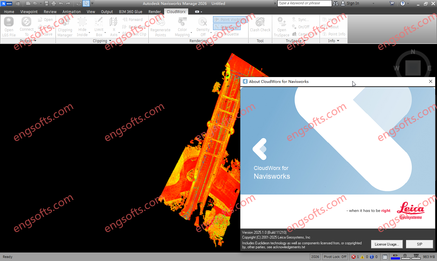
Leica CloudWorx 2025.1 For NavisWorks 2023-2026 Tested Picture
Leica CloudWorx lets users efficiently visualise and process large point cloud data sets as a virtual as-built model, check proposed designs against existing conditions, perform critical construction & fabrication QA, and more… all directly within Navisworks.
Leica CloudWorx for Navisworks a provides greatly improved point cloud rendering environment resulting in a much improved user experience, unlimited size project scale and greatly improved productivity, on the order of a 50% improvement over the built in capabilities.
Features and Benefits
- Optional LGSx file, Cyclone, or ReCap data source
- Work in Navisworks with point clouds from any laser scanner or point cloud-creating 3D sensor, including hand-held, terrestrial, mobile, UAV, and aerial
- Manipulate and navigate large point cloud data sets faster, including slices, sections, and limit boxes
- Eliminate the need for time-consuming export/import processes of point cloud file formats
- Clash Manager for clash and anti-clash detection with export utility for easy reporting
- Improve point cloud visualisation with colour mapping control
- TruSpace panoramic viewer with background images for intuitive interaction with and driving of the point cloud in the application’s viewing pane
- Saved project environment settings
- Localised in the following languages: English, French, German, Italian, Spanish, Japanese, Chinese (simplified and traditional), Russian, Korean.
- TruSpace Layers: RGB, HDR, greyscale intensity, hue intensity, IR w/ temperature data
- Full support for Leica Geosystems universal digital realities files (LGSx), including: Layers, GeoTags, Assets and more.
- Align Cloud to Model for quick combination of as built point clouds with design-intent models
- Localised in the following languages: English, French, German, Italian, Spanish, Japanese, Chinese (simplified and traditional), Russian, Korean
 ID:956575828
Must log in before commenting!
Sign Up