Geo
Geology & Exploration,Drilling And Workover softwares.

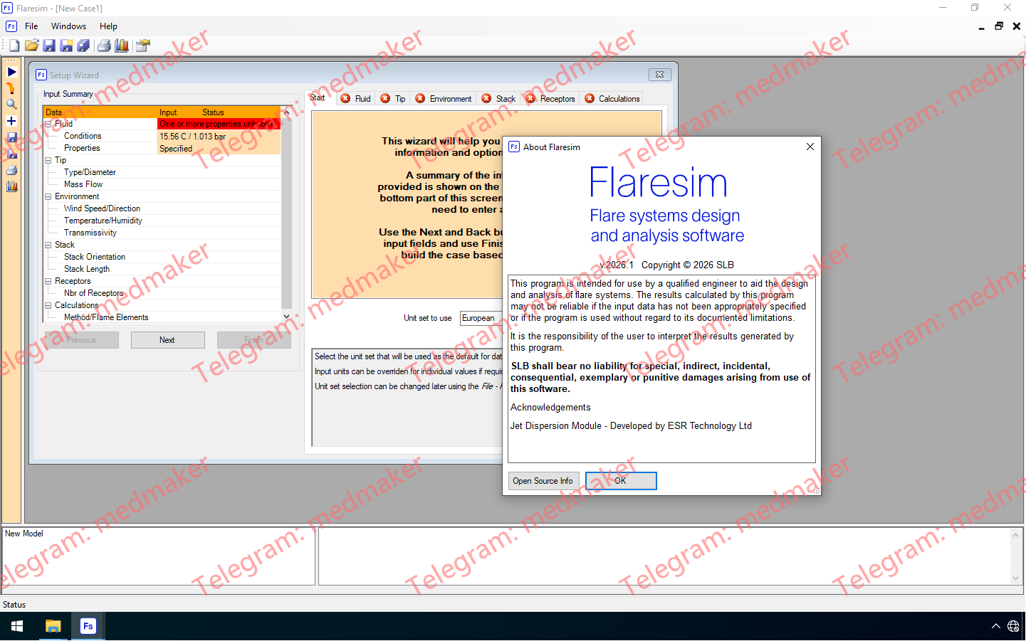
Flaresim是业界领先的火炬系统设计和评估软件,适用于陆上和海上应用。它能够精确模拟化学工艺火炬燃烧过程中的热辐射、温度和噪声影响,从而开展全面的火炬安全研究,并生成高度可定制的可视化报告。 可用版本: 2026.x ,2025.x ,2024.x ,2023.x ,… Schlumberger Flaresim 2026.1.0 Tested Picture 一致且可自定义的受体点显示 等值线图显示选项新增了自定义功能,用户可以选择模型中每个受体点的颜色。此颜色选择在所有受体网格中出现的图中均保持一致,从而进一步增强了结果的快速解读和生成个性化报告的能力。 考虑流体性质随时间的变化 Flaresim 软件的动态建模功能已扩展,支持输入流体温度、分子量和低位热值 (LHV) 随时间的变化。这些信息对于准确确定峰值泄压率及其持续时间至关重要。 扩展的火炬口尺寸计算选项 火炬口尺寸计算支持新的基于压力的设计参数,例如入口压力以及密封件和火炬口处的压降。之前可用的设计参数,例如“马赫数”和“火炬口内径”,由于现在也考虑了压降的影响,因此精度更高。 火炬头和密封件供应商数据输入 Flaresim 软件现在允许用户输入供应商数据表格,从而在计算火炬头和/或密封件的压降时考虑这些数据。输入后,曲线数据还可以保存,并轻松加载到其他火炬头或工况中。 与 Symmetry 火炬工作区集成 Flaresim 软件的火炬安全计算功能已集成到 Symmetry 火炬工作区中。用户现在可以在 Symmetry 软件中自定义 Flaresim 软件生成的等值线图中的单位。同样,用户现在也可以在 Symmetry 软件中自定义等值线颜色、绘图细节和轮廓细节,从而实现更加无缝的集成。 More Information in English:Schlumberger Flaresim 2026.1.0
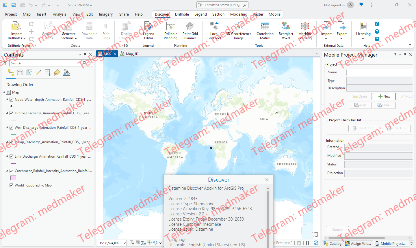
Discover for ArcGIS Pro 作为 ArcGIS Pro 的一个插件,用于导入、集中和分析地球科学数据,无论您是进行矿产勘探还是环境评估。 可用版本: Datamine Discover 2.1.654 for ArcGIS Pro 3.1.x-3.3.x Datamine.Discover.AddIn.2.2.for.ArcGIS.Pro.3.4 从众多不同的数据存储库导入钻孔数据,并在新数据可用时无缝刷新数据。创建图例,应用于所有 ArcGIS Pro 数据类型:曲面、钻孔、线或点数据。 创建剖面模板,以管理所有 2D 或 3D 剖面数据和样式,确保项目中所有剖面数据格式和样式保持一致。数字化数据,在剖面上注册图像,并将其无缝发送到 3D 环境。从各种常见的矿业数据格式导入 2D 和 3D 数据,并在 Discover 3D 环境中可视化所有这些数据。 Discover 利用 ArcGIS Pro 的独特功能,可在 2D 和 3D GIS 环境之间无缝切换。使用 Web 共享功能轻松共享数据,您可以将 2D 和 3D 场景与组织内部的同事以及公众共享。 Discover for ArcGIS Pro – What’s New More Information in English: Datamine Discover 2.3.361 for ArcGIS Pro 3.4.x-3.5.x
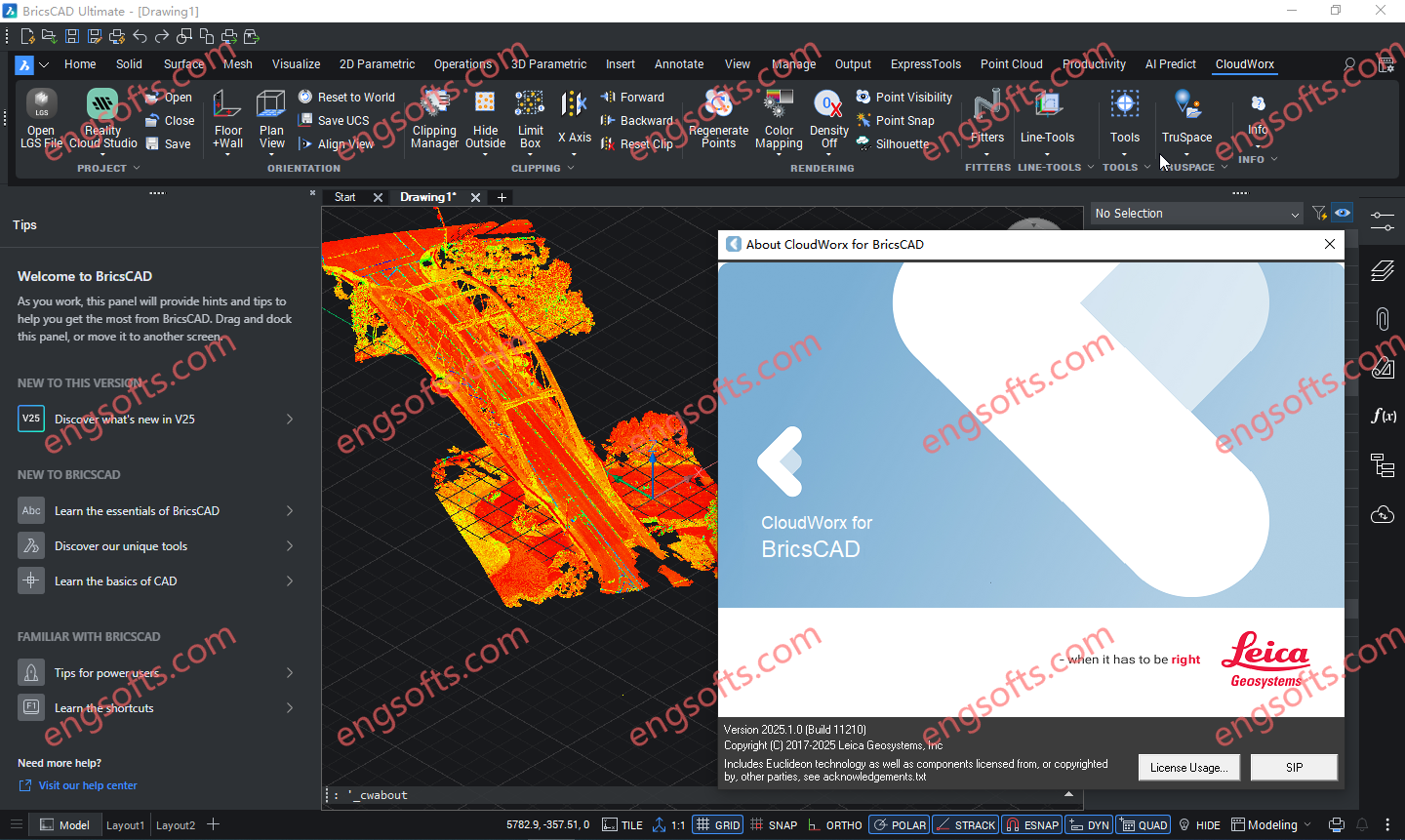
Leica CloudWorx for BricsCAD 为用户提供了一种途径,可以直接在 BricsCAD 中从存储在 Leica Cyclone 中的点云开始建模或创建线形。 可用版本: 2026.x , 2025.x , 2024.x ,… Requirement:BricsCAD V22 – V26 Leica CloudWorx 2025.1.0 for BricsCAD v22-25 Tested Picture CloudWorx for BricsCAD 可为各种规模的公司节省大量时间,使用户能够更高效地工作,而非更辛苦地工作,从而获得专业级的成果。智能自动化功能通过以下工具,为最常用的工作流程带来速度和便捷性: 自动线材辅助 地面平整度/水平度例程 钢材和管道目录,可高效地将对象添加到项目中 More Information in English: Leica CloudWorx 2026.0.0 for BricsCAD v22-25
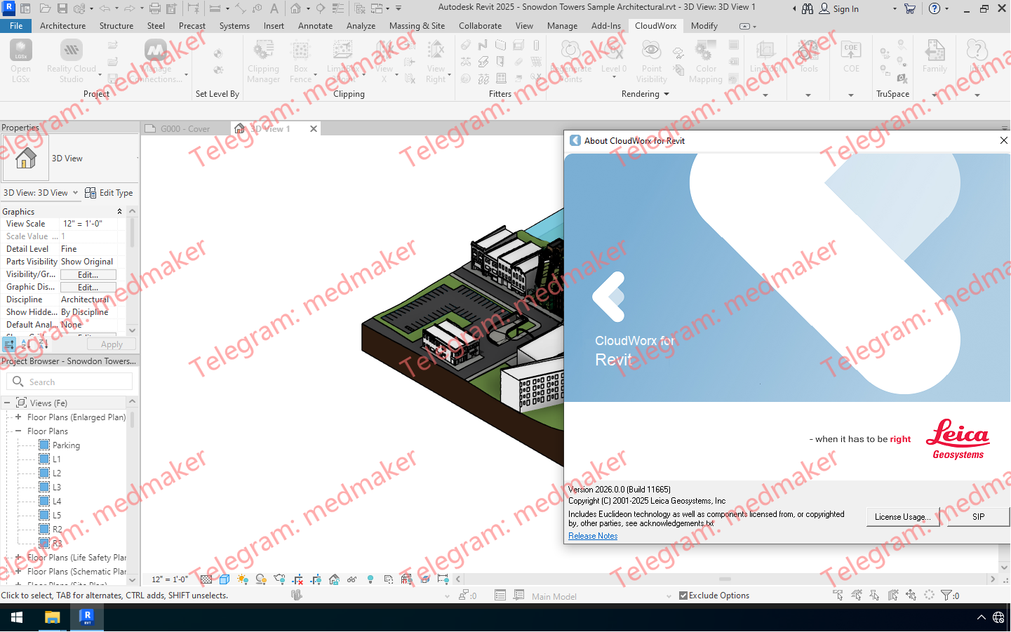
Leica CloudWorx for Revit 是一款突破性的插件,可将激光扫描仪采集的丰富的竣工点云数据直接导入 Revit,从而高效地进行现有建筑的 BIM 建模。该插件适用于各种 BIM 活动,包括改造设计、施工和运营,以及建筑物的全生命周期资产管理。它可在 Revit 中提供现场虚拟参观体验,并完整呈现采集到的实景数据。 可用版本: 2026.x , 2025.x , 2024.x ,… Requirement:Revit Architecture, MEP and Structure 2023 – 2026 Leica CloudWorx 2026.0.0 For Revit 2023-2026 Tested Picture 用户可以利用熟悉的 Revit 界面和工具,快速掌握激光扫描数据的使用方法。Leica CloudWorx 以及功能强大的 Leica Cyclone 和全新的 Leica JetStream 点云引擎,使 Revit 用户能够高效地可视化大型点云数据集,并创建 BIM 模型。用户可以直接在 Revit 中享受高性能点云应用程序的所有优势。 CloudWorx for Revit 中的其他工具可实现钢材、法兰、管道和二维线的精确拟合,以及墙体、楼板、结构构件、门窗、机械设备等的放置。此外,CloudWorx for Revit 还支持直接从 Cyclone 导入 COE 模型,以及将 Revit 模型导出为 COE。这使得用户可以将轻量级的 Revit 模型导入 Cyclone 进行进一步分析,或将模型发布到 TruViews 中。 功能和优势 可选的 LGS 文件、Cyclone、JetStream 或 ReCap 数据源 JetStream 和 LGS 提供比其他数据源更快捷、更清晰的查看体验 在 Revit 中使用来自任何激光扫描仪或点云生成 3D 传感器的点云 无需耗时的点云文件格式导出/导入流程 更快地操作和浏览大型点云数据集,包括切片、截面和边界框 从点云拾取中放置任何 Revit 模型项(墙、楼板、结构构件等) 钢结构、法兰、自动管道和 2D 线型装配 用于智能竣工图的目录装配 对“不垂直”墙体进行建模 Cyclone COE 模型支持直接导入/导出 碰撞管理器,用于碰撞和防碰撞检测,并提供导出工具,方便生成报告 直接从点云设置建筑标高 从点云设置工作平面 自动查找管道、圆形风管和柱子的中心线和直径 保存项目环境设置 TruSpace 图层:RGB、HDR、灰度强度、色调强度、带温度数据的红外图像 完全支持徕卡测量系统通用数字现实文件 (LGS),包括:图层、地理标签、资产等。 将点云与模型对齐,轻松将扫描的竣工条件与模型的设计意图相结合。 支持以下语言:英语、法语、德语、意大利语、西班牙语、日语、简体中文和繁体中文、俄语,韩语。 More Information in English: Leica CloudWorx 2026.0.0 For...
Leica CloudWorx for AutoCAD 是最高效、最流行的 AutoCAD 插件软件,它可以直接在 AutoCAD 中使用激光扫描仪捕获的竣工点云数据。 可用版本: 2026.x , 2025.x , 2024.x ,… Requirement:AutoCAD, Civil 3D, Plant3D and Map3D 2023 – 2026 Leica CloudWorx 2026.0.0 For AutoCAD 2023-2026 Tested Picture 用户可以利用熟悉的 AutoCAD 界面和工具,快速掌握激光扫描数据的使用方法。用户可以创建精确的 2D 和 3D 竣工图,对照现有条件检查设计方案,执行关键的施工和制造质量保证等操作……所有操作均可在 AutoCAD 中直接完成。 过去,用户在使用 AutoCAD 点云插件时,常常难以操控点云数据。CloudWorx 凭借其强大的 TruSpace 查看窗口解决了这一难题。这个直观的全景查看窗口让用户能够更清晰地“看到”点云所代表的内容,并如同一个超级控制器,以前所未有的速度驱动 AutoCAD 中的点云可视化。 功能和优势 可选的 LGS 文件、Cyclone、JetStream 或 ReCap 数据源 在 AutoCAD 中处理来自任何激光扫描仪或点云生成 3D 传感器的点云 无需耗时的点云文件格式导出/导入过程 更快地操作和浏览大型点云数据集,包括切片、截面和边界框 快速切片工具使用户能够快速切片和定向点云,使其与墙壁和地板对齐 自动拟合折线工具使用户能够通过一个、两个或三个拾取点快速将 2D 直线和圆弧拟合到点云;结合 QuickSlice,可快速、便捷地提取二维线段。 钢结构、法兰、自动管道和二维线段装配工具 用于智能竣工图的目录装配工具 精确的连接和碰撞检查 地面平整度和水平度工具,可自动生成符合 ASTM 1155 标准的报告 正射影像工具,可创建 GeoTIFF、PNG、JPEG、GIF 和 BMP 图像,并可选择直接在 AutoCAD 中打开 自动将 UCS 定向到点云 智能拾取和网格点工具 TruSpace 全景查看器,带有背景图像,可在应用程序的查看窗格中直观地与点云进行交互和驱动 保存项目环境设置 提供英语、德语、日语和其他语言版本 TruSpace 图层:RGB、HDR、灰度强度、色调强度、带温度数据的红外 完全支持徕卡测量系统通用数字现实文件 (LGS),包括:图层、地理标签、资产等。 自动线框辅助:通过辅助用户完成交付物创建过程,加快交付物创建速度。 支持以下语言:英语、法语、德语、意大利语、西班牙语、日语、中文(简体和繁体)、俄语、韩语。 More Information in English: Leica CloudWorx 2026.0.0 For AutoCAD 2023-2026
Leica CloudWorx for Navisworks 是一款全新的插件软件,可将激光扫描仪采集的竣工点云数据直接导入 Navisworks 中使用。用户可利用 Navisworks 熟悉的界面和工具,快速掌握激光扫描数据的使用方法。 可用版本: 2026.x , 2025.x , 2024.x ,… Requirement:Navisworks Simulate and Manage 2023 – 2026 Leica CloudWorx 2025.1 For NavisWorks 2023-2026 Tested Picture Leica CloudWorx for Navisworks 提供大幅改进的点云渲染环境,从而显著提升用户体验,支持无限规模的项目,并大幅提高工作效率,相比内置功能提升约 50%。 功能和优势 可选的 LGSx 文件、Cyclone 或 ReCap 数据源 在 Navisworks 中处理来自任何激光扫描仪或点云生成 3D 传感器的点云,包括手持式、地面式、移动式、无人机和航空式设备 更快地操作和浏览大型点云数据集,包括切片、截面和边界框 无需耗时的点云文件格式导出/导入过程 碰撞管理器,用于碰撞和防碰撞检测,并提供导出实用程序,方便生成报告 通过颜色映射控制改善点云可视化效果 TruSpace 全景查看器,带有背景图像,可在应用程序的查看窗格中直观地与点云进行交互和操控 保存项目环境设置 支持以下语言:英语、法语、德语、意大利语、西班牙语、日语、简体中文和繁体中文、俄语、韩语。 TruSpace 图层:RGB、HDR、灰度强度、色调强度、带温度数据的红外图像 完全支持徕卡测量系统通用数字现实文件 (LGSx),包括:图层、地理标签、资产等。 将云与模型对齐,以便快速将竣工点云与设计意图模型相结合。 已本地化为以下语言:英语、法语、德语、意大利语、西班牙语、日语、简体中文和繁体中文、俄语、韩语。 More Information in English: Leica CloudWorx 2026.0.0 For NavisWorks 2023-2026
Oasis montaj 2025.2 引入了与 Medusa Radiometrics 合作开发的辐射测量扩展,带来了符合 IAEA 标准的校正和 NASVD/特征向量选择的引导式工作流程。Oasis montaj 2025.2.1 是一个维护版本,解决了 2025.2 版本中发现的少量问题,包括重力地形校正和安装工作流程的更新。 可用版本: 2025.xx , 2024.xx , … Seequent Oasis Montaj 2025.2.1 新增和改进的功能包括: 辐射测量扩展(与 Medusa Radiometrics 合作开发) 改进的重力数据处理 按产品分组的菜单,更快找到工具 按产品分组的菜单,导航更快捷 导入 ArcGIS Pro 3.3+ LYRX 文件 查看支持的 Evo 模式,以便导入/导出 More Information in English: Seequent Oasis Montaj 2025.2.1
Leapfrog Geo/Works/Energy 帮助您可视化和理解数据,以便您可以与各个技术级别的利益相关者沟通风险,并在所有土木工程和环境项目中做出更明智的决策。 可用版本: 2025.3.x ,… Seequent Leapfrog Geo/Works/Energy 2025.3.1 Tested Picture 节省您的解读时间 通过简化的工作流程,改变您查看和处理数据的方式。快速生成剖面图,并使用可将模型与工程设计集成的工具。 通过快速创建和更新地质模型,提高您的 3D 地下建模效率。随着新数据的输入,您的模型和输出(例如剖面图)会动态更新,无需重新创建,从而节省时间和成本。 3D 地下建模在理解地质条件方面提供了无与伦比的精度和效率。更好地识别和评估项目生命周期各个阶段的风险,并及早发现挑战。 清晰沟通 以 3D 形式查看地下信息,即使是复杂的数据也能清晰呈现,从而加深您的理解。 高度可视化的 3D 地下模型有助于您更好地解读地质条件。使用包括 Leapfrog Viewer 和视频在内的免费可视化工具,清晰地向所有利益相关者传达风险,并导出高质量图像和剖面图布局,用于报告和演示。 与所有团队协作 Leapfrog Works 支持行业标准的地质勘察数据格式。您还可以将地质模型与工程设计、BIM 工作流程和地下水流模型相结合,从而全面了解您的项目。 在制定有关地质条件的关键决策时,让地质学家参与其中。将您的地质信息模型与建筑信息模型相结合,并与其他团队协作,共同开发基础设施信息模型。 More Information in English: Seequent Leapfrog Geo/Works/Energy 2025.3.1 Testing Viseo
GeoStudio 2025.2 引入了多项新功能,包括高 DPI 显示支持、增强的 3D 扫描选项以及扩展的 Python 脚本功能。 此外,它还新增了 2D/3D 加筋板承载力输入功能,并全面支持日语,所有这些改进旨在提升岩土工程专业人员的建模精度、自动化程度和易用性。 可用版本: 2025.2.x ,… Seequent GeoStudio 2025.2 GeoStudio 2025.2 让建模更加精准,自动化更加便捷,也让全球更多用户能够轻松使用该软件。它引入了 3D 扫描选项,改进了 GeoStudio Python 脚本 API(包括更强大的网格查询功能),全面支持日语,并兼容高 DPI 显示。 GeoStudio 2025.2 的新增和改进功能 高 DPI 支持 GeoStudio 现在增强了对高分辨率显示器的支持,解决了之前影响现代屏幕可用性的长期 UI 缩放问题。此次更新无需用户手动调整屏幕分辨率即可获得清晰易读的界面,从而在各种设备上提供更流畅、更一致的视觉体验。通过解决这一技术难题,我们对软件质量和用户体验进行了意义深远的投入,确保 GeoStudio 在高 DPI 环境下也能呈现预期的外观和性能。 新增二维和三维加筋板承载力输入 GeoStudio 现已支持 SLOPE2D 和 SLOPE3D 中锚杆、钉子和土工合成材料加筋材料的板承载力输入。此项改进使 GeoStudio 的建模功能与同类产品保持一致,并允许用户考虑土-结构界面处的潜在结构薄弱环节。通过考虑板承载力,工程师可以更好地评估破坏机制并设计更稳健的加筋系统。 新增日语支持 GeoStudio 现已全面支持日语。这项本地化工作确保日本的工程师和岩土工程专业人员能够使用母语更舒适、更高效地工作,从而提升可访问性和用户体验。通过投资多语言功能,我们进一步履行了对全球可用性的承诺,并支持我们不断增长的国际用户群体。 增强的 3D 建模扫描选项 扫描是一种广泛使用的几何体创建技术,它通过沿曲线“扫描”轮廓(例如沟槽的横截面)来生成实体或曲面。特殊的轮廓条件有时会导致意想不到的形状或错误。借助全新增强的扫描选项,用户可以更灵活地控制复杂的几何场景,从而更加自信地应对。这些改进能够实现更可预测、更精确的结果,与用户的设计意图保持一致,最终节省时间并减少建模工作量。 改进的 Python 脚本 API 此版本改进了 GeoStudio Python 脚本 API,使用户在自动化工作流程时拥有更高的控制力和效率。用户现在可以查询任意笛卡尔坐标处的网格,从而实现更精确的数据提取和分析。此外,还进行了性能优化,缩短了通过脚本触发操作时的求解时间。此外,扩展的文档和更多示例脚本简化了入门流程,使用户更容易利用脚本功能。这些更新体现了我们持续致力于提升 GeoStudio 的易用性和可扩展性,并为高级用户提供强大且可脚本化的访问权限。 More Information in English: Seequent GeoStudio 2025.2
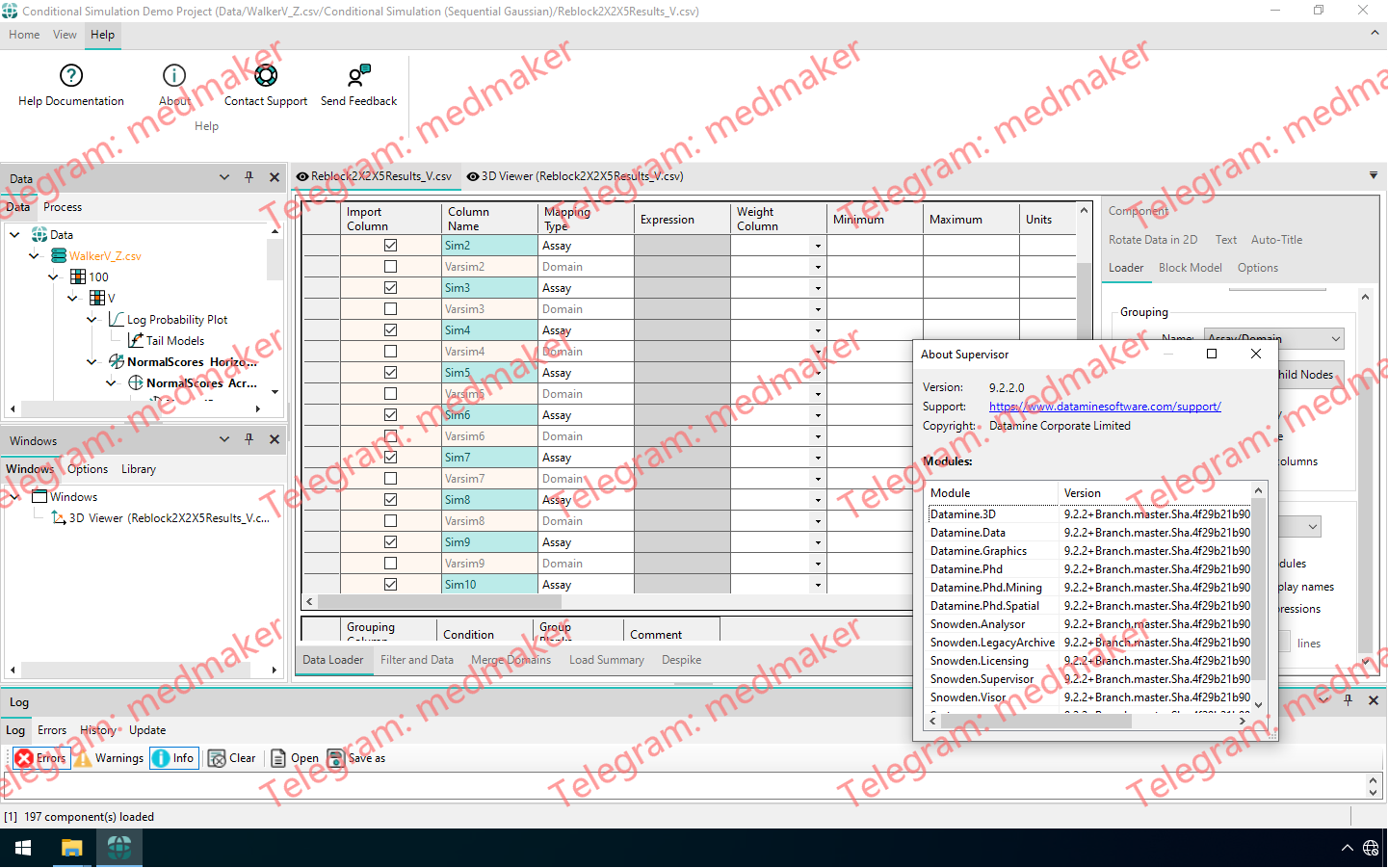
Supervisor 9.2 引入了强大的新工具,以增强可视化分析、简化数据交换并加强软件基础,所有这些工具旨在使您的工作流程更加顺畅和协作。 可用版本: 9.2.x , 9.1.x , 9.0.x ,… Datamine Supervisor 2026 v9.2.2 此次更新的一大亮点是引入了完全互联的图形功能。当您在一个图表中选择数据时(无论是直方图、散点图还是 3D 视图),所有其他可视化图表中的相同样本都会立即高亮显示。这使得识别异常值和解读数据关系变得更加容易。此外,新增的 3D 选择模式允许您通过绘制矩形、多边形或定向切割来隔离样本,并可使用熟悉的键盘快捷键组合选择。您还可以通过右键菜单直接将选择应用为过滤器,从而在处理复杂数据集时获得更大的灵活性。 数据交换功能也得到了显著升级。Supervisor 现在支持 Datamine 的现代 DMX 格式,提供更高的压缩率、完整的 Unicode 兼容性以及对多达 2048 列的支持——非常适合处理更大、更复杂的数据集。旧版 DM 文件的导入也得到了优化,性能更佳。与 MineTrust 的集成带来了无缝协作:您可以直接打开共享项目或打包自己的项目,并可选择包含结果并与同事共享。此外,新增的右键菜单选项允许您一次性导出所有子代变异函数,将结果整合到单个表格中,从而节省您的时间。 分析和可视化功能也得到了改进。现在,您可以将条件模拟和多元模拟的品位-吨位曲线叠加在一起,以便更清晰地进行比较;同时,连续性模型椭球体已升级为轴锁定、可调整大小,并且在反变换组件中可见,从而在查看模型时提供更强的控制力和更丰富的上下文信息。 最后,此版本增强了底层平台和易用性。Supervisor 现在运行在 .NET 9 上,确保了微软的持续支持、更强的安全性和更高的可靠性。为了方便用户快速上手,主页上提供了两个演示项目,让您无需从头开始即可探索关键功能。反馈表单也得到了增强,新增了自动附加最新错误消息和日志文件的选项,从而能够更快、更准确地进行故障排除。结合一系列缺陷修复(包括可视化问题、文件导入可靠性和项目兼容性问题),这些改进将带来更流畅、更稳定的 Supervisor 使用体验。 More Information in English: Datamine Supervisor 2026 v9.2.2