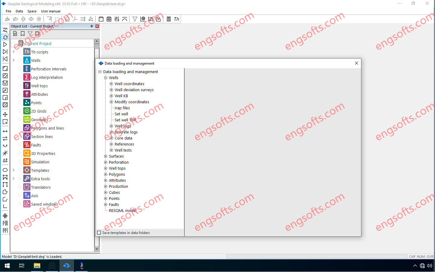
Geoplat Seismic Interpretation isan interactive, high-speed tool for analyzing and interpreting 2D/3D CMP data in conjunction with field survey results.
Geoplat Pro-S Integrated interpretation of geological, geophysical and production data.
Available versions: 25.x , 24.x ,…
Geoplat SG 2025 v25.3 Tested Picture
Problems to be solved
- 1.Loading, storing and analyzing the quality of 2D/3D CMP seismic data together with the results of field research
- 2.Stratigraphic referencing of seismic horizons with analysis of geological information content of reflecting boundaries and their attributes
- 3.Detailed identification and tracking of reflecting horizons and tectonic faults in manual, semi-automatic and automatic modes, mapping
- 4.Calculation and analysis of a wide range of cubes and maps of kinematic and dynamic attributes of seismic records, seismic facies maps, spectral decomposition
- 5.Calculation of acoustic and elastic seismic inversion based on deterministic and stochastic algorithms
- 6.Obtaining cubes and maps of predicted petrophysical parameters based on neural networks and linear regression
- 7.Obtaining sections/cubes of average and formation velocities, transferring interpretation results from time to depth scale
- 8.Obtaining forms of reporting graphic materials that meet the Customer’s requirements
Geoplat Geological Modeling is Construction and maintenance of 2D and 3D geological models based on seismic, well logging, core and field survey data interpretation.
Geoplat Pro-G Construction and support of 3D models of oil and gas deposits and calculation of reserves based on integrated interpretation of geological, geophysical and production data.
Problems to be solved
- 1.Loading, storing and analyzing a set of geological and geophysical information, including production data, within a single project
- 2.Interpretation of well geophysical survey data. Lithological sectional division. Forecast of reservoir properties
- 3.Detailed correlation of well sections based on geophysical survey data with the possibility of installing automatic and semi-automatic benchmarks
- 4.Calculation of maps of calculation parameters taking into account the structural and lithological features of deposits
- 5.Construction of 3D geological models with the possibility of local updating
- 6.Calculation of hydrocarbon reserves by maps and cubes, output of regulatory tables of reserves taking into account the adopted classification. Assessment of geological risks
- 7.Data preparation for hydrodynamic modeling. Rescaling of geological cubes with the ability to control the amount of reserves, lithological and parametric characteristics
- 8.Design of graphic and tabular materials in accordance with current regulations.


评论前必须登录!
注册