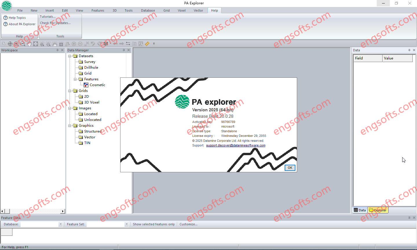
PA Explorer is a sophisticated application designed for analysing and visualising geophysical data in profiles, maps, and 3D displays. It supports single or multi-channel data from both airborne and ground surveys, including airborne electromagnetic (AEM) and potential field data such as gravity and magnetic surveys. With advanced 2D and 3D visualisation capabilities, PA Explorer offers interactive interpretation features and templates that streamline the creation of application-specific displays. Geophysicists and exploration geologists can easily combine profiles, sections, maps, and graphs to produce high-quality outputs, making the routine production of maps, sections, and profiles straightforward and efficient.
Available versions: 2025 v20.x , 2024 v19.0.109 ,…
Datamine PA Explorer 2025 v20.0.3 Tested Picture
What’s new in version 20.0.28 (17 June 2025)
- Fixed a bug with the “Assign Grid value to dataset” plugin which was preventing it populating the output field unless it already existed.
- Added a new Automatic Gain Control (AGC) filter to the Grid Filter plugin.
What’s new in version 20.0.19 (12 May 2025)
- Improved Database Maintenance tool to allow viewing and editing of the line version and flight number when renaming a line.
- Added a new option on the Grid Tools > Outline utility to allow the extent outline rectangles for each grid be written to a separate TAB or SHP file.
- Renamed the “Paste component” button on the Insert ribbon to be “Insert component” to match help documentation. Also fixed an error that was being reported loading an unknown TIF file.


评论前必须登录!
注册