2024-07 posts Page 2

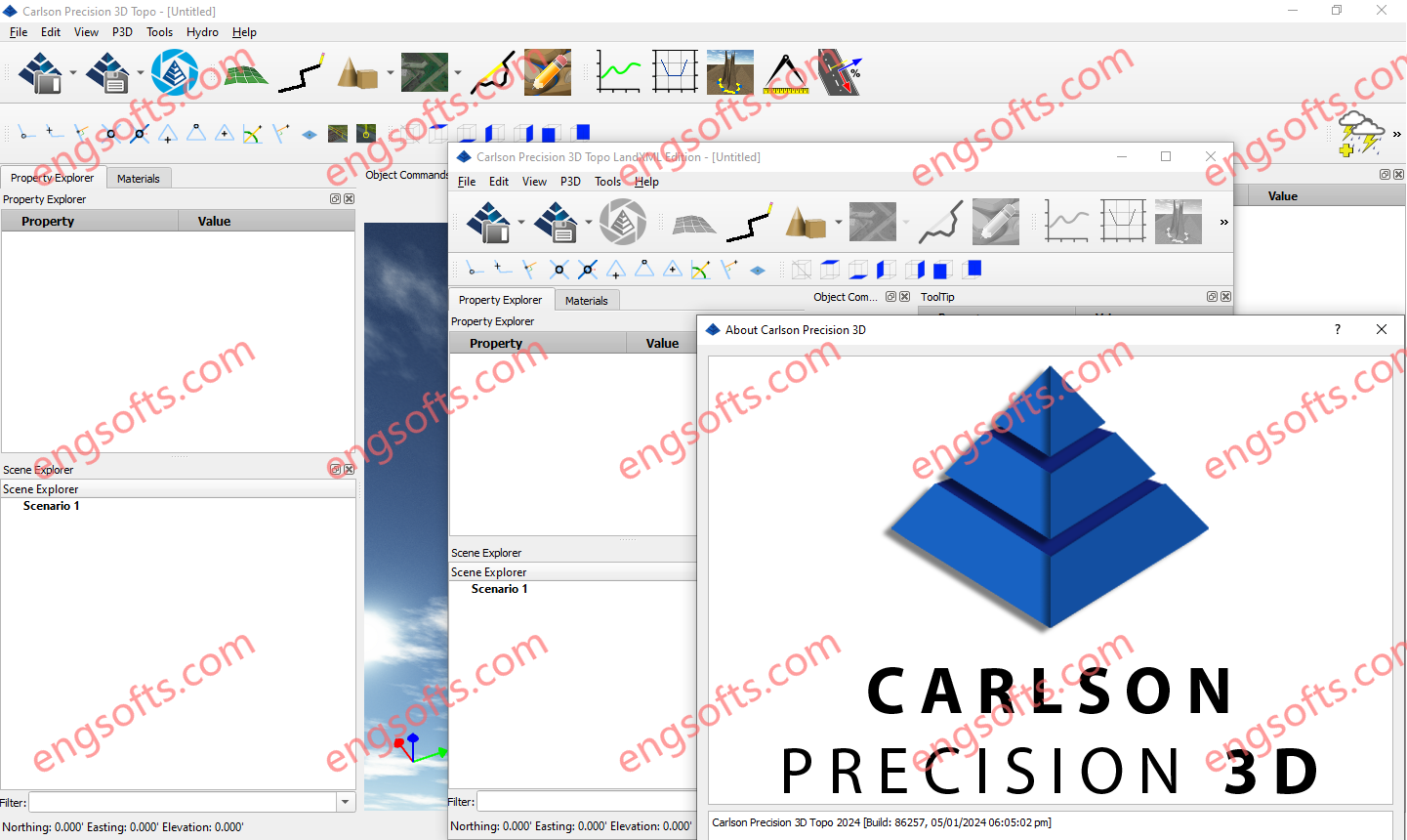
Carlson Precision 3D 2024 goes far beyond being just a 3D visualization tool; instead, it harnesses cutting-edge technologies to empower users to effortlessly integrate data from diverse sources, creating highly accurate 3D surfaces (P3D Topo) and hydrology-related outputs (P3D Hydro). All this while working within a faster, more intuitive 3D environment. Carlson Precision 3D 2024(LandXML Viewer) Tested Picture Powerful Surface Tools CP3D offers an array of powerful surface-creation tools: Create surfaces from point cloud data without compromising on resolution. Employ grid reduction to load large surfaces faster. Simplify complex surfaces effortlessly. Generate surfaces from imported points and polylines. Easily add points and break polylines to existing surfaces. Crop and merge surfaces seamlessly. Surface Editing The real-time surface editing capabilities of...
Flaresim 2024 incorporates enhancements for flare tip sizing and vendor data input, isopleth plot display options, and dynamic thermal radiation modelling, among others. This release includes updates from Flaresim 2024.1, Flaresim 2023.2, Flaresim 2023.1, and Flaresim 2022.3. Highlights from the last year of maintenance updates are included below. Consistent and customizable receptor point display An additional layer of customization has been added to isopleth plot display options, enabling users to choose the color of each receptor point in their model. This color selection is consistently applied to the point in every plot it appears in across receptor grids, further enhancing quick interpretation of results and the ability to generate personalized reports. Account for changes in fluid properties over time Flaresim...
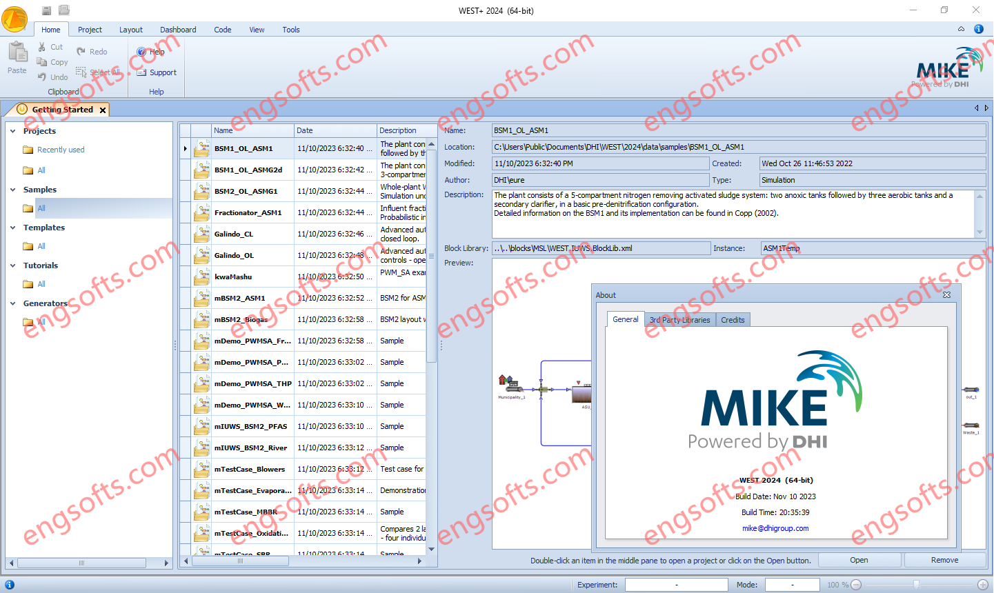
DHI WEST is the tool of choice for dynamic modelling and simulation of wastewater treatment plants (WWTP) and other types of water quality-related systems. DHI WEST 2024 Update1 Tested Picture It is designed for operators, engineers and researchers interested in studying physical, biological or chemical processes in WWTPs, sewer systems and rivers. WEST offers an extensive, customisable model library, stellar simulation speed and advanced numerical algorithms, under the hood of a modern, state-of-the-art user interface. Control strategies can easily be implemented and reports can be generated automatically. Finally, a software development kit (SDK) for integration with other software systems as well as high performance computing (HPC) capabilities are available.
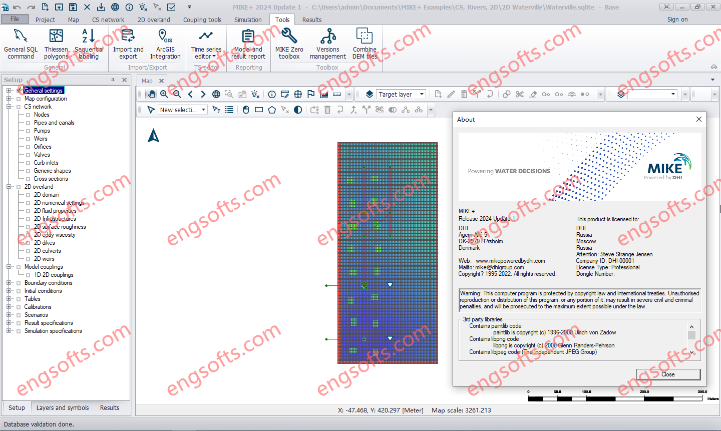
DHI MIKE+ 2024 introduces numerous enhancements, including BIM file display, Profile Plots, and Version Management improvements. It also extends the Catchment Processing tool, adds a Zone Water Balance feature, Flood Polygons tool, and introduces VSD pump control. MIKE+ helps you integrate, model and manage all your water systems on ONE platform for the most comprehensive analyses of your waterways. Such customised insights can help you develop comprehensive plans, optimise systems’ performance and so much more. Best yet, you’ll have all the latest analytical methods and data at your fingertips. DHI MIKE+ 2024 Tested Picture Apply the power of MIKE+ to all your water systems The analysis options are nearly endless across applications with MIKE+. Water Distribution Networks: Develop dynamic water distribution networks by performing hydraulic...
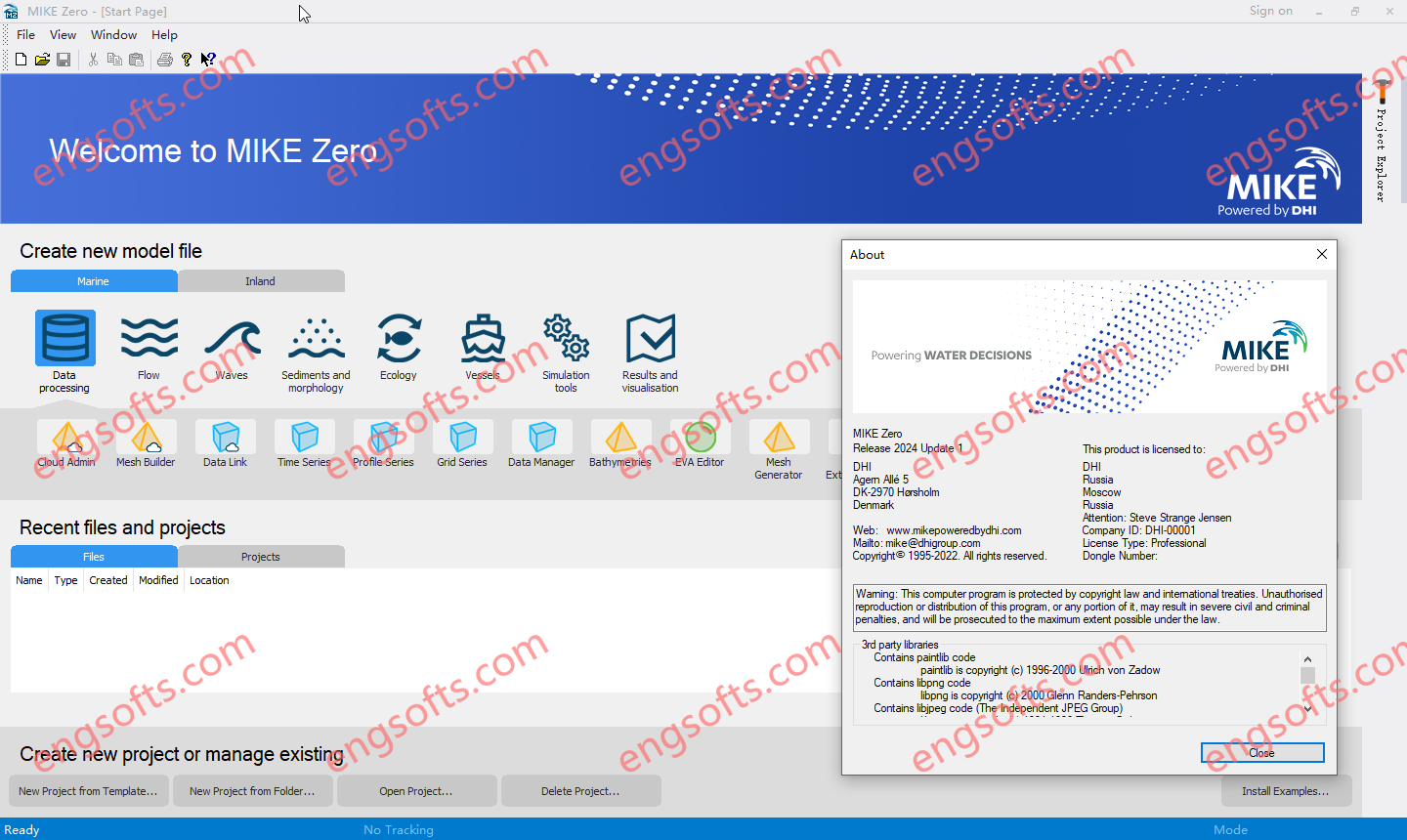
MIKE Zero is the common name of DHI’s fully Windows integrated graphical user interface for setting up simulations, pre- and post-processing analysis, presentation and visualisation within a project oriented environment. Presently, the MIKE Zero framework gives access to the following DHI modelling systems: DHI MIKE Zero 2024 Tested Picture – MIKE HYDRO – A physical and conceptual model system for catchments, rivers and floodplains. – MIKE 11 – a 1D modelling system for rivers and channels. – MIKE 21 – a 2D modelling system for estuaries, coastal water and seas. – MIKE 3 – a 3D modelling system for deep seas, estuaries and coastal waters. – MIKE 21/3 – Integrated Models (including the MIKE 21/3 Coupled Model FM, which allows...
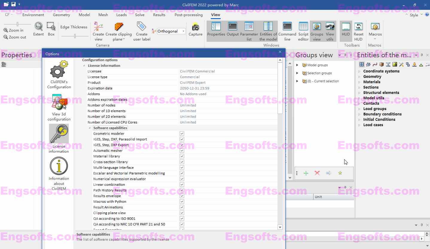
CivilFEM powered by Marc is a very powerful and versatile program suitable for all the types of advanced analyses performed in all construction sectors, providing a rich set of tools and unique capabilities that streamline the creation of analysis models for Construction, Dams, CAE, Forensic Structural Analysis, Seismic design, Soil-structure interaction, Foundations, Tunnels, Rock and soil mechanic analyses, Skyscrapers, Geotechnics, Mining, Energy, Oil&Gas, Precast, Power Plants: Nuclear, Hydraulic… or any other Civil Engineering major infrastructure.