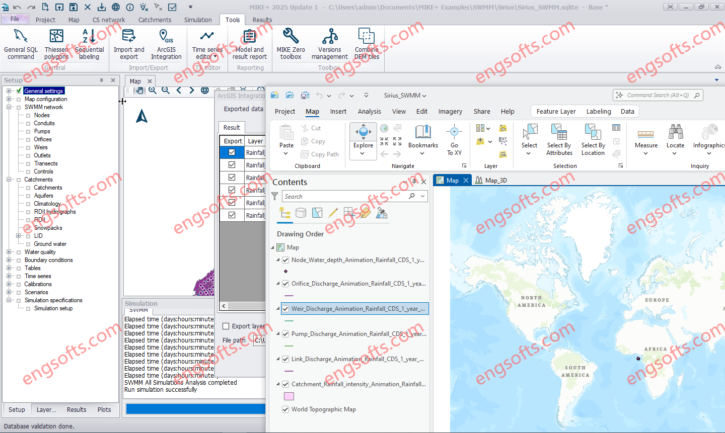
Combine MIKE+ with ArcGIS Pro 3.1 capabilities and open the door to industry-leading Esri software. MIKE+ ArcGIS Pro 3.1 gives you access to sophisticated spatial processing technology to make you more efficient in preparing spatial data or when analysing and visualising model outputs. Plus, rivers, 2D overland, and SWMM data are all supported – together with their results in 1D and 2D. Available other versions: DHI MIKE+ 2024.1 with ArcGIS Pro 3.1 DHI MIKE+ ArcGIS Pro 2025 Update1 Tested Picture MIKE+ is a comprehensive platform featuring integrated modules and tools designed to model, analyse, and manage various aspects of water systems. These include pipe networks, rivers, tidal areas, and more. By simplifying modelling and consolidating technology, MIKE+ empowers users to...
Petrosys is the leader in mapping, modeling and data management solutions for the oil & gas industry – uniquely integrated with the broadest range of specialist geoscience and GIS applications. Petrosys produces quality maps and visualizations. It aggregates, manages and analyzes the underlying data – for actionable results that communicate with clarity and accuracy. Petrosys is the industry leader in mapping, surface modeling and data management software solutions – delivering direct connectivity with the E&P industry’s most popular exploration, production and GIS data sources. Petrosys produces high quality maps and surface models. It manages, edits, and analyses the underlying information including the specialised seismic, well and geoscience data used in the search for oil and gas. Geoscientists, data managers and engineers at more than 300 sites...