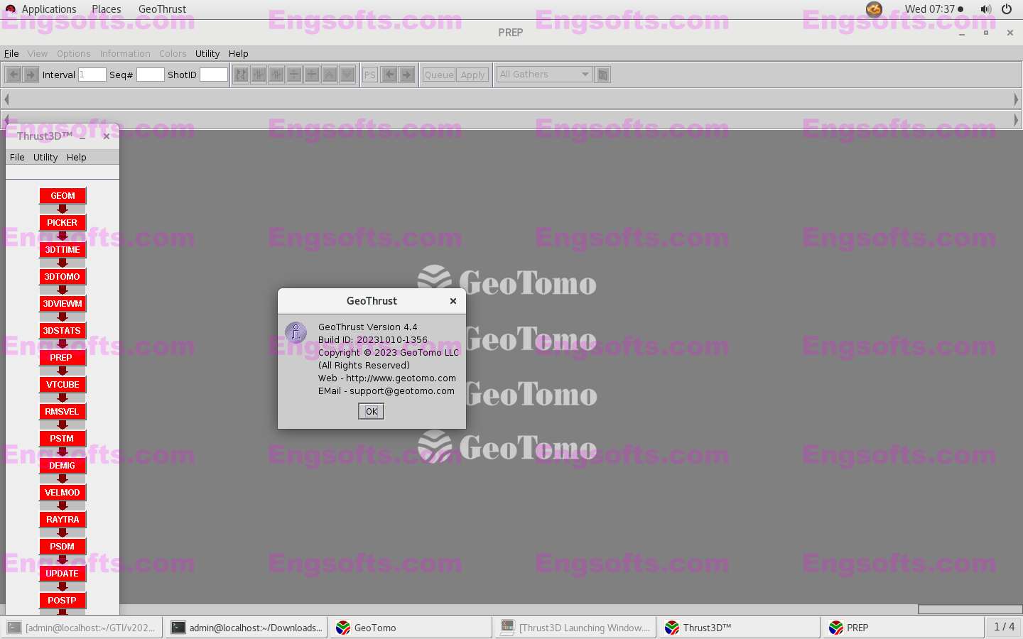
GeoTomo GeoThrust 2023 v4.4 Linux64
GeoThrust has been designed with a workflow architecture to obtain an accurate earth model and earth image in time and in depth from data recorded with irregular geometry in areas with rough topography, complex near-surface, and complex subsurface, with uncompromisingly high technical specifications for data analysis and quality control, but easy to learn and easy to use. DISTINCTIVELY UNIQUE FEATURES The near-surface model is estimated by nonlinear tomography applied to first-arrival times that accounts for topography and resolves lateral and vertical velocity variations. Aside from statics corrections, the corrections for the near-surface are performed by wavefield datuming — an essential requirement for imaging from irregular topography. GeoThrust performs subsurface velocity estimation, modeling and imaging from topography, not from a flat...

 ID:softmed
 ID:956575828