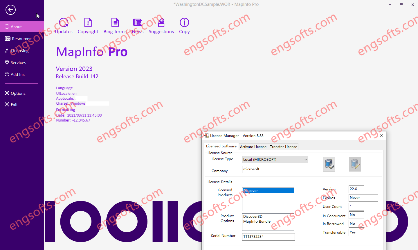
The Datamine Discover 2024 Update 1 v23.0.375 release is now available. Discover 2024 (Build 23.0.375) Discover 3D 2024 (optional license – if not licensed is available in viewer mode functionality) MapInfo Pro 2023.1 (Build 181) MapInfo Pro Advanced (Raster menu) MapInfo Pro Premium services Bing (annual subscription license, expires 31st December 2025) Available versions: 2024.x ,2023.x ,… Datamine Discover 2023 Tested Picture Some of the new features of Discover 2024 are – DiscoverNew PCA/K-means multivariate clustering tool for data analysis on vector and raster data Support LiDAR OBJ files in mobile projects and checkin/out workflow process New read only field validation for mobile projects Support for self-populating picklists in Discover Mobile New mobile project specific folders for audio, photos and lidar Significant...
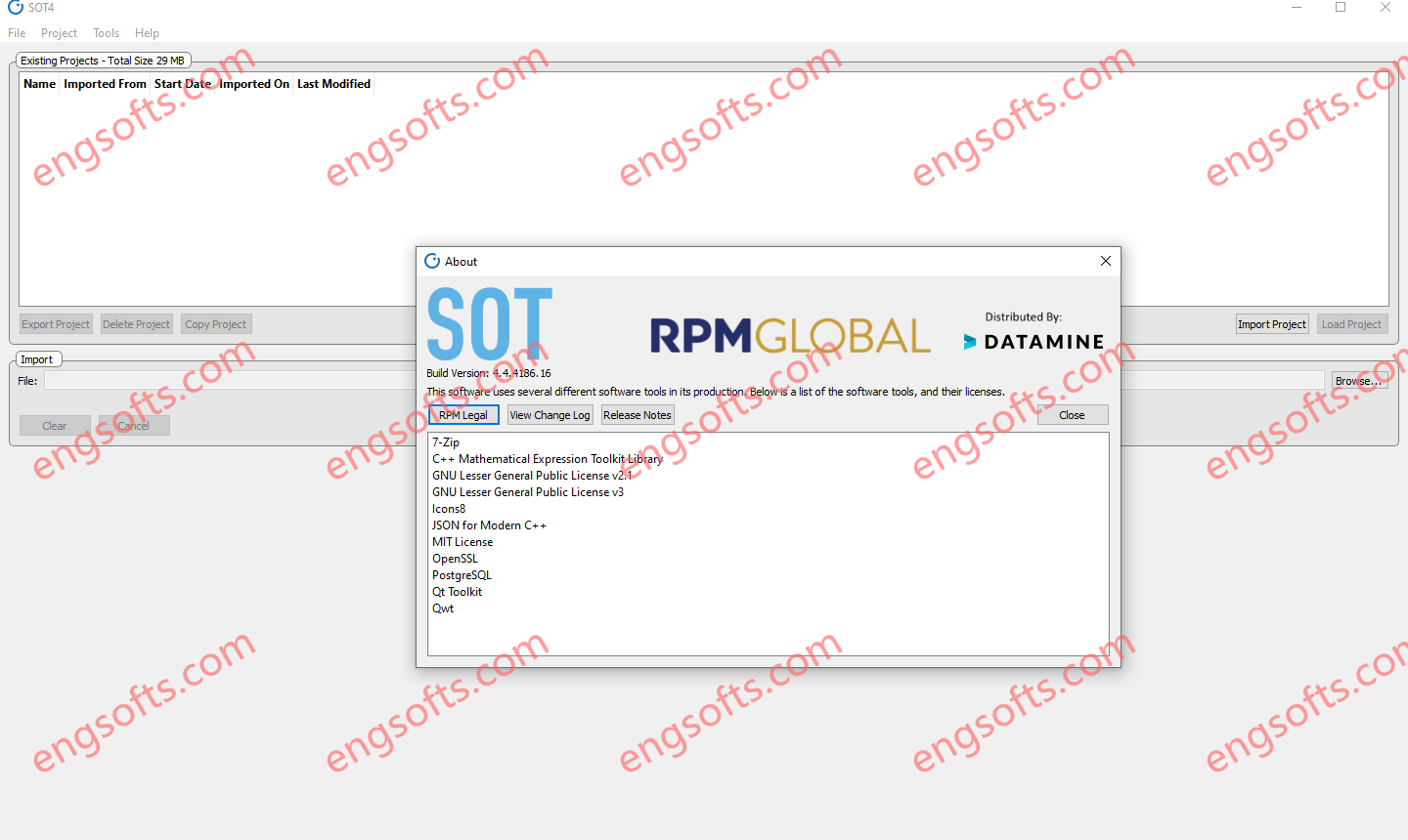
SOT is the industry’s only strategic financial optimisation tool for both surface and underground mines that maximises productivity and profitability outcomes by optimising the net present value (NPV) of the mine schedule. RPMGlobal SOT4 2024 v4.4.4186 Tested Picture Features Optimised NPV Custom heuristics and an evolutionary algorithm optimise the NPV. Decision support Identify robust, high-value schedules that drive strategic mine planning. Scenario planning & comparisons Generate multiple ‘what if’ scenarios in minutes to determine economic viability. Optimise multiple metrics Optimise for NPV, ore feed targets, profitability index and many more metrics. Seamless integration Integrated with most major mine planning packages. Optimal transition Efficiently transition from open pit to underground mining. Solve complex mine planning challenges Underground and surface mines are...
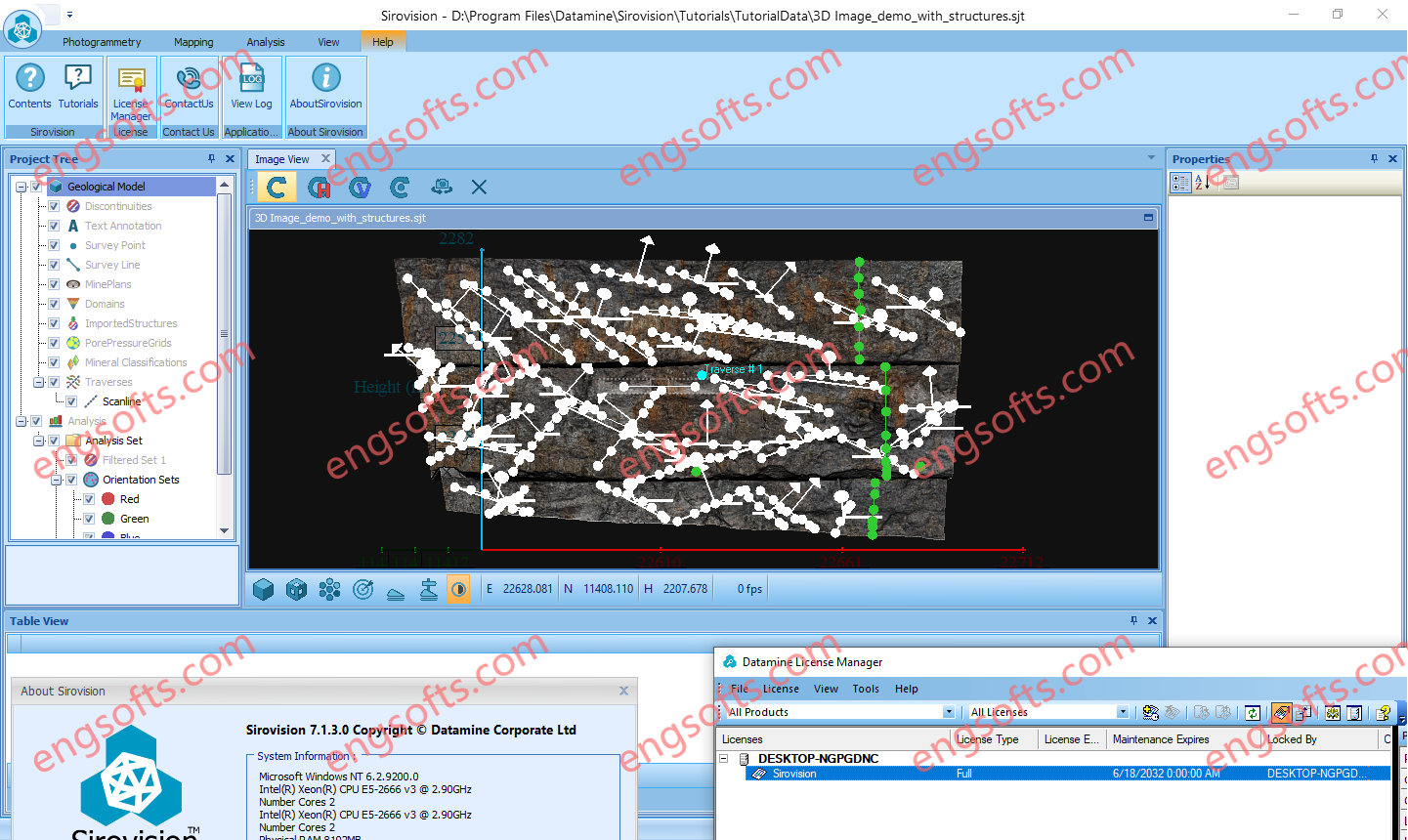
Sirovision is a geological / geotechnical mapping and analysis system that generates accurate, scaled 3D images of rock faces from stereo photographs taken in either open pit or underground environments. Sirovision allows mining professionals to quickly and accurately: Datamine Sirovision 7.1.3 Tested Picture Map structures daylighting at the surface to automatically determine their properties Automatically detect simple wedge and complex block features resulting from the structures Perform analyses to determine the failure risk Increase productivity and safety