Welcome:
Dear Engineers
Total 2 posts

Tag:ArcGIS

Datamine Discover 2.2.716 for ArcGIS Pro 3.1.x-3.4.x

Built as a plugin to ArcGIS Pro, Discover for ArcGIS Pro is a comprehensive package for the importation, centralisation and analysis of geoscientific data, whether you are conducting mineral exploration, or environmental assessments. Import drillhole data from numerous different data repositories and seamlessly refresh data as new data becomes available. Create legends to apply to all of your ArcGIS Pro data types: surface, drillhole, line or point data. Datamine Discover 2.1 for ArcGIS Pro 3.1.5 Tested Picture Create section templates to manage all of your section data and styling in 2D or 3D to keep all section data in standard formats and styles across your project. Digitise data, register images on section and seamlessly send this to 3D. Import 2D data and...

DHI MIKE+ ArcGIS Pro 2024 Update1

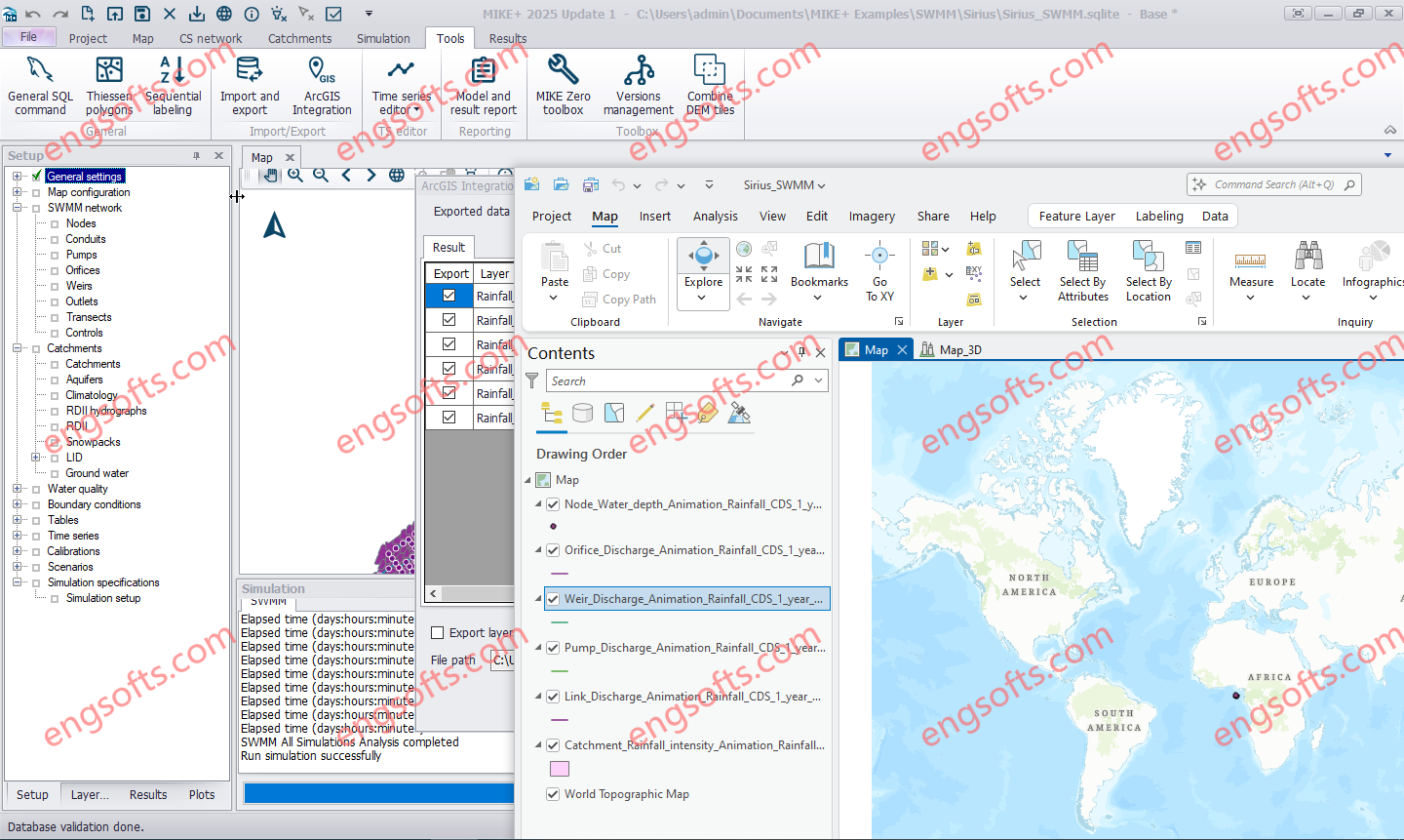
Combine MIKE+ with ArcGIS Pro 3.1 capabilities and open the door to industry-leading Esri software. MIKE+ ArcGIS Pro 3.1 gives you access to sophisticated spatial processing technology to make you more efficient in preparing spatial data or when analysing and visualising model outputs. Plus, rivers, 2D overland, and SWMM data are all supported – together with their results in 1D and 2D. DHI MIKE+ ArcGIS Pro 2024 Update1 Tested Picture MIKE+ is a comprehensive platform featuring integrated modules and tools designed to model, analyse, and manage various aspects of water systems. These include pipe networks, rivers, tidal areas, and more. By simplifying modelling and consolidating technology, MIKE+ empowers users to optimise water management strategies, make informed decisions, and bolster the...

Login

Register