Total 105 posts
Tag:2024 Page 10
Leica SpiderQC is a multi-purpose GNSS data analysis tool that can be used for: Site Assessment and Quality Control Network RTK Performance Monitoring Reference Station Integrity Monitoring Deformation Monitoring RINEX data management (concatenation, decimation) Suitable For All GNSS Reference Networks Leica SpiderQC processes GPS (including L2C and L5), GLONASS, BeiDou and Galileo (including AltBOC) data in the standard RINEX format that is supported by all leading reference station software. Leica SpiderQC is the perfect companion for all reference station networks. It allows the network operator to monitor the quality of the network in an efficient manner. Paired with the superior performance and flexibility of GNSS Spider reference station software and the GR10, GR25 and GMX series receivers, Leica Geosystems is...
Leica Spider Software Suite is the GNSS network infrastructure solution that provides easy access to all available data from all GNSS in one convenient location, helping users in the field and their colleagues in the office to be most efficient. All constellations, All sensors, All applications Be the most efficient you can be when all data is displayed in one place that can be accessed from anywhere at any time. Regardless of your application, Spider provides a solution by supporting all GNSS constellations, all sensors and all standards – making your business a success. The Spider Software Suite is the first web-based solution for managing real-time and post-processing services. Operators and users can now easily access the Spider Software Suite...
HxMap is a high-performance multi-sensor workflow platform that provides a fast, intuitive, and efficient post-processing workflow. It is used to produce geospatial data products within one single interface. It provides production tools that take raw flight datasets all the way through deliverable products refining radiometry and geometry along the process. Leica HxMap 2024 v4.5 Main features DMCIII sensor system support in Blockwide Radiometry Performance is improved for lidar point cloud colorization New Image Index Viewer to assess individual nadir images in Blockwide Radiometry Oblique overviews added to Radiometry Setup – Build Overviews

Questa Visualizer Debug Environment is SystemVerilog class-based and UVM-aware to speed up overall debug time, even on today’s most complex SoCs and FPGAs. Siemens Questa Visualizer Debug Environment 2024.1_2 Linux Tested Picture The changing landscape of debug For years the process of ASIC and FPGA design and verification debug consisted primarily of comprehending the structure and source code of the design with waveforms showing activity over time, based on testbench stimulus. Today, functional verification is exponentially complex with the emergence of new layers of design requirements (beyond basic functionality) that did not exist years ago; for example, clocking requirements, security requirements, safety requirements, and requirements associated with hardware-software interactions. Given these complex interactions, effective debug often demands experts that are...
Tessent Silicon Lifecycle Management solutions include advanced debug, safety & security features and in-life data analytics to meet the evolving challenges of today’s silicon lifecycle. Ensure the highest test quality, accelerate yield ramp and improve safety, security and reliability across the silicon lifecycle using best-in-class solutions for design-for-test (DFT), debug and in-life monitoring plus powerful data analytics. Tessent Advanced DFT Address the challenges of in-system test for today’s complex SoCs and chiplets with market-leading logic and memory test products that combine capabilities in a powerful test flow to ensure total chip coverage. Tessent Embedded Analytics Close productivity gaps using actionable insights from embedded analytics that shorten total development time, accelerate debug and reduce risk and cost to ensure timely market...
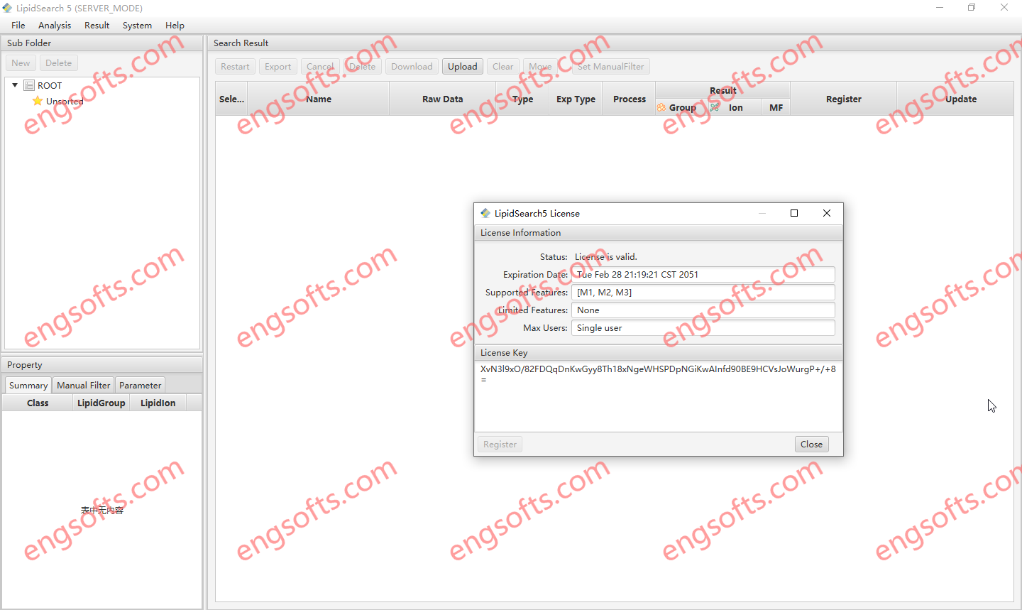
Lipids are key components of living organisms and an essential contributor to cell processes. Lipidomics, the study of lipid component of a system, has recently gained an increasing importance with recent major discoveries of lipid roles in cell-signaling and vital biological processes beyond the established functions as membrane building blocks and energy storage. Lipidomics and lipid profiling, using Liquid Chromatography Mass Spectrometry (LC-MS) is a rapidly growing are in translational medical research. The Thermo Scientific™ LipidSearch™ software processes LC-MS data, including the high-resolution accurate-mass (HRAM) data generated by Thermo Scientific™ Orbitrap™ -based mass spectrometers, to provide accurate lipid identification, relative quantitation, statistical analysis and results visualization. LipidSearch mines data, even those acquired under advanced workflows such as multiple activation types...
Maptek Workbench is the central place to access and manage all of your Maptek desktop applications. It offers the following key benefits: Single integrated workspace Access all of your Maptek applications within a single, consistent interface. Open multiple applications and tools simultaneously and share data easily between applications. Customise Workbench to suit your needs. Maptek Account integration Straightforward licensing and management of licensed applications, including downloading and upgrading to latest application versions. Maptek Extend Get more out of your Maptek applications by taking advantage of Maptek Extend features including Maptek Workflows and Maptek Python SDK.
Maptek Vulcan plays a critical role from the very start of the mining process – commencing with exploration and geological modelling, ranging through mine design and scheduling to rehabilitation. Powerful block modelling and integrated tools for survey, drill and blast, grade control, geotechnical analysis, geostatistics, scheduling and optimisation make Vulcan the complete mining software package. Vulcan can manage and visualise very large and complex data sets, process the information and rapidly generate models. Sophisticated algorithms and fast processing allow virtually instant validation of data for building and maintaining up-to-date models of a deposit.
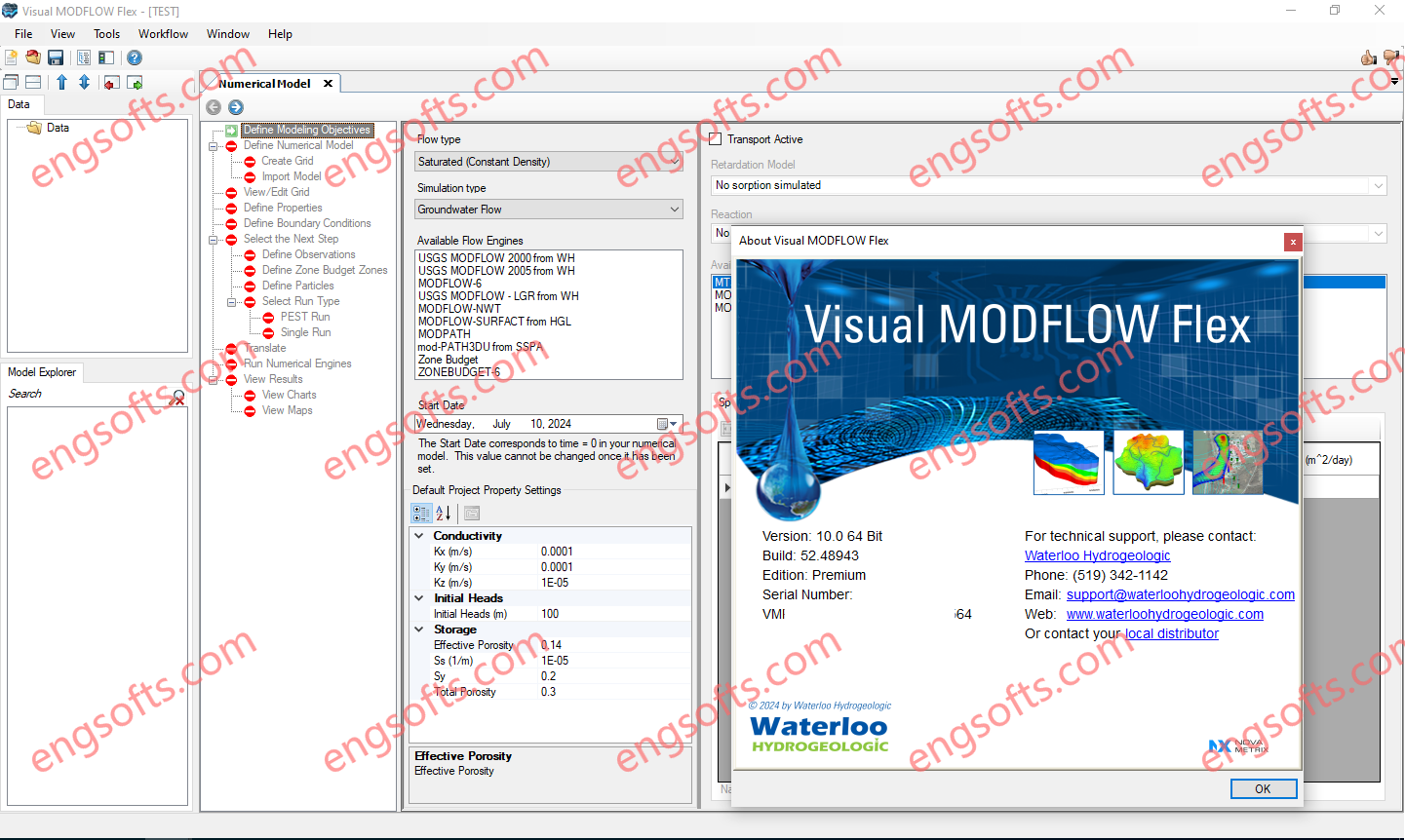
Visual MODFLOW Flex brings together industry-standard codes for groundwater flow and contaminant transport, essential analysis and calibration tools, and stunning 3D visualization capabilities in a single environment. Waterloo Visual.MODFLOW Flex Premium 2024 v10.0 Tested Picture Build models faster and more efficiently Model inputs and grid design can be updated at any point in the modeling process as modeling objectives change, more data are collected and a better understanding of the sub-surface is achieved. Modeling steps are conveniently presented in an intuitive, workflow-driven graphical user interface: see current and completed steps, and steps you need to finish. GIS-based 3D conceptual modeling and numerical modeling all within a single integrated software environment. This reduces costly 3rd party pre-processing tools, and eliminates transfer...
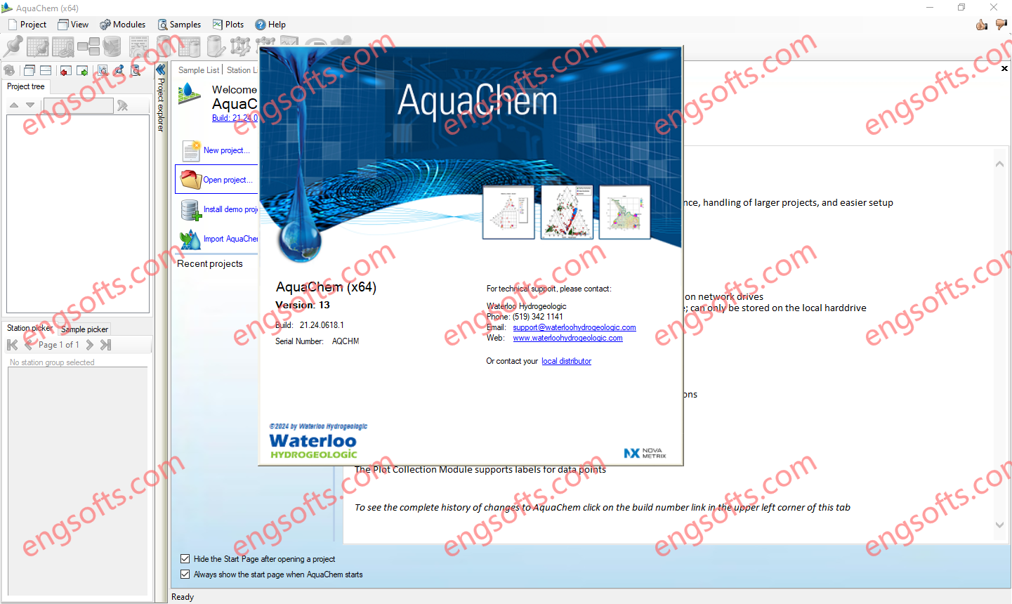
AquaChem 13.0 providing improved performance, better handling of larger projects, and easier configuration on most systems. Waterloo AquaChem 2024 v13.0 Tested Picture Plot Collections The plot collection module supports labels for data points. Data Sources AquaChem now allows you to select a data source type: Microsoft Access: useful for smaller portable projects; can be stored on network drives Local DB (NEW): useful for larger projects and improved performance; can only be stored on the local hard drive Convert: you can easily convert between database sources as your project needs change PHREEQC The PHREEQC Module supports saving PHREEC (Basic) simulation configurations The modeled parameter picker in the Parameter Editor module supports filtering and sorting