QuantumATK原子尺度建模软件能够进行大规模、更逼真的材料模拟,它将从第一性原理密度泛函理论(DFT)到半经验和经典力场分析等多种模拟方法集成到一个易于使用的平台中。QuantumATK加速了半导体和材料的研发,并通过在众多高科技行业的材料筛选过程中实现更高效的工作流程,降低了时间和成本。 Available versions: 2025.x ,2024.x ,2023.x ,… Synopsys QuantumATK 2025.06 Tested Picture QuantumATK X-2025.06 版本新增功能和改进亮点包括:针对半导体行业及其他领域,针对不同原子尺度建模方法和应用的改进。 DFT 和半经验方法的 GPU 加速 体材料和 NEGF 器件计算中最耗时的部分(包括 SCF、能带结构、PDOS、PLDOS 和透射光谱)平均加速 10 倍以上。 支持多节点和多 GPU,加速倍数与 GPU 数量呈线性关系。 使用 DFT 计算 5,000 个原子或使用半经验 NEGF 计算 30,000 个原子的运行时间从数天缩短至数小时。 CPU 上的 DFT 性能改进 所有 SCF 计算速度提升约 2 倍 &使用 MetaGGA、GGA 和 Hubbard U 对中小规模体系(几百个原子)进行几何优化。 PDOS、FatBandstructure 和 MAE 分析速度提升高达约 5 倍,且速度提升幅度随投影数量的增加而增加。 更广泛的机器学习势 (MLP) 支持 用于训练新的通用 MACE 模型并针对特定体系/过程进行微调的框架,可提高精度。 用于导入、快速测试和使用基于 DeepMD、ORB、SevenNet、MACE、CHGNet 等的新兴 MLP 模型的接口。 MLP 的多 GPU 加速可实现大规模 MD 模拟,例如: 使用 MACE 模拟 100,000 个原子,使用 MTP 模拟 1,000,000 个原子。 室温扩散 模拟室温扩散和提取扩散系数的新方法: 加速集体可变超动力学 (CVHD) 比标准 MD 模拟速度提升高达 300 倍,能够捕捉罕见事件。 采用新的 Lanczos 和 ARTn 鞍点搜索方法的自适应动力学蒙特卡罗 (AKMC) 能够迭代地探测新的状态、可能的跃迁以及它们之间的能量势垒。 表面工艺模拟改进 支持沉积/蚀刻工艺中复杂的衬底形状,例如 U 形和二维材料。 采用可变时间步长的 MD 模拟,可精确模拟冲击过程。 无需在整个模拟过程中使用较小的时间步长即可实现表面过程。 改进的NEB反应势垒方法 用于在NEB中设置复杂反应路径的新型顺序IDDP方法。 改进和加速NEB反应路径优化的新技术。 将NEB与用于鞍点搜索的新型Dimer和Lanczos方法相结合,可使过渡态搜索和反应势垒计算的速度提高2-3倍。 访问QuantumATK 文档页面 有关安装指南、手册、入门教程等更多详细信息。 More Information in English:...
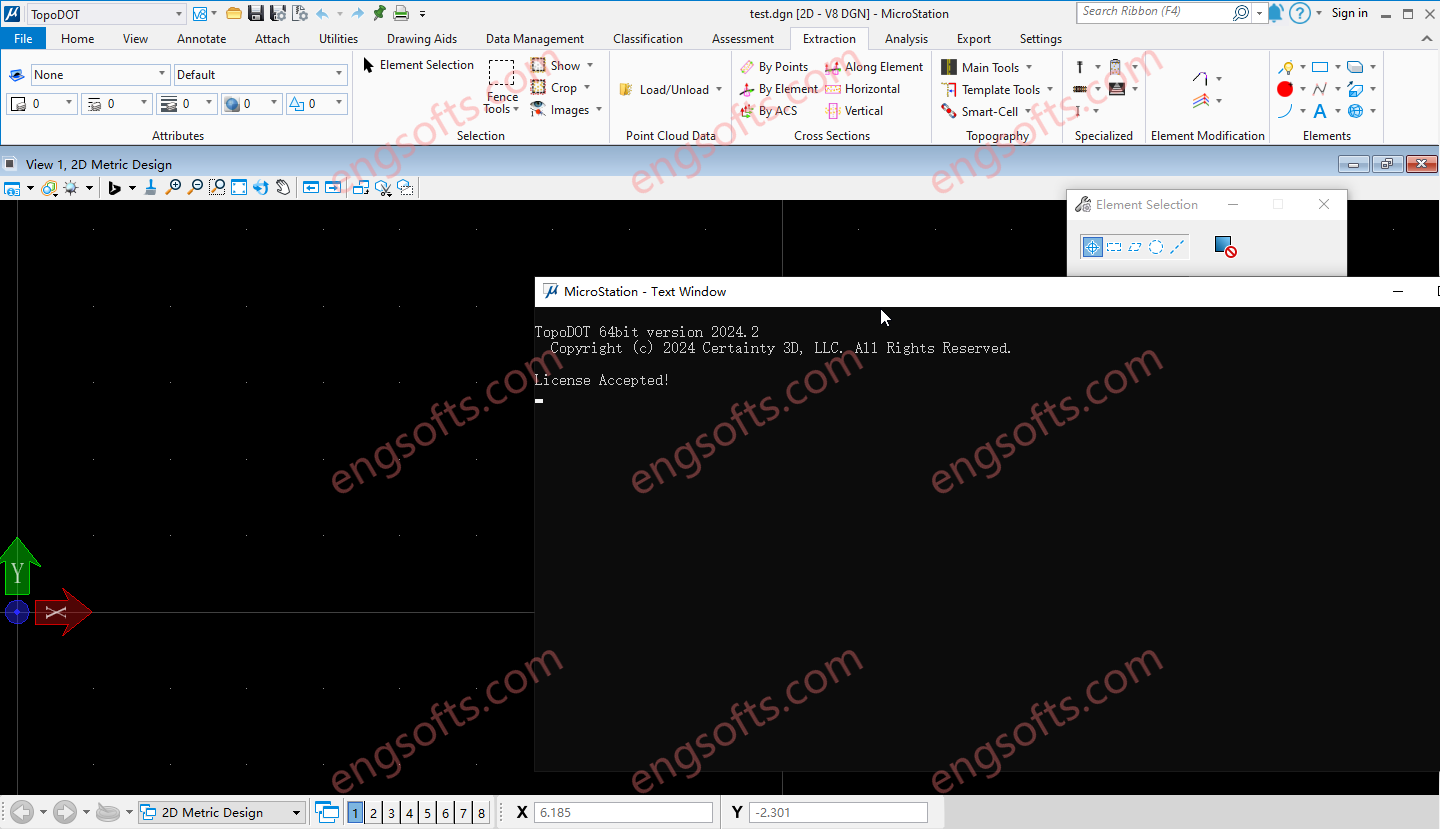
TopoDOT is a comprehensive solution to manage point cloud data, assess data quality and extract topographies, models, analyses and other forms of digital twins. Geospatial data acquired along road, rail, utility and other land survey applications present unique processing challenges. The TopoDOT production process is designed to meet these challenges with the right balance between automation and quality, thereby ensuring complex project requirements are met at the lowest possible cost. Available versions: 2025.x , 2024.x , 2023.x ,… Requirement:MicroStation CONNECT Update 15+ Certainty3D TopoDOT 2024.2 For Microstation Tested Picture Road TopoDOT realizes the inherent value of point cloud data acquired along road and highway transportation corridors. Intuitive yet highly automated tools extract complex features quickly and accurately. A quality-controlled process...
Techlog can refer to a specific software platform for oil and gas wellbore analysis called Techlog, or an electronic logbook for aircraft maintenance called Tech Log. The software platform integrates and interprets wellbore data, while the electronic logbook digitizes an aircraft’s maintenance history. Highlights from 2024.5 release: Techlog AI Import & Log Prediction Tools We are pleased to announce the release of two new Techlog™ wellbore software AI tools, which leverage generative AI technology to streamline workflows by extracting insights from unstructured data and automating critical interpretation processes. These tools are designed to support customers with both on-premises and cloud infrastructure, enabling data-driven decision making through: Enhanced user efficiency. Reduced manual effort. New levels of untapped intelligence from existing data....
Synopsys Euclide IDE 简化了 RTL 代码编写,提供实时错误检测,并针对 SystemVerilog 和 UVM 开发中的设计和验证流程优化代码。它提供针对 Synopsys VCS 仿真和 ZeBu 仿真优化的上下文相关自动补全和内容辅助功能,从而在整个项目周期中提升代码质量。Euclide 集成了 Verdi 调试功能,可提供即时反馈,最大限度地减少实现错误并提高项目收敛速度。 可用版本: 2025.x , 2024.x , 2023.x ,… Synopsys Euclide 2025.06 Linux Tested Picture 主要优势 加速编码 提供自动补全、信号快速参考和模块实例化功能 快速检查 在编写代码的同时进行实时检查,通常只需几秒钟即可生成反馈 易于审查 轻松浏览设计和测试平台层次结构,并使用语义着色进行查看 More Information in English: Synopsys Euclide 2025.06 Linux
Reconcilor 9.10 delivers a major upgrade focused on usability, data integrity, and flexibility of analysis across the mining value chain. A key new feature in this version is the Embedded Analysis, which lets you host dashboards from analytics and business intelligence tools like Power BI or Tableau within Reconcilor. This helps centralise reporting and eliminates the need to switch between platforms. The Data Approval workflow has been extended to handle approvals at both global and site levels, improving traceability and control over key datasets. Updates to the Continuum screen introduce a more adaptive layout, clearer label display, and new controls for selecting visible metrics—making it easier to work with complex comparison data. The Grade Block screen has also been enhanced,...
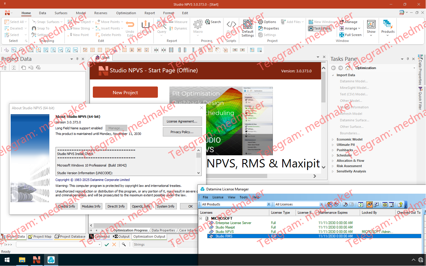
Datamine Studio NPVS 3.0 引入了强大的全新 Datamine .dmx 文件格式,并显著提升了易用性、可视化效果和流程效率,从而简化您的数据挖掘工作流程。 Datamine Studio NPVS 2025 v3.0 此次发布,Datamine 正式推出 .dmx 格式,取代了沿用已久的 .dm 文件系统。.dmx 格式文件更小,支持多达 2048 列,并能与现有工作流程和脚本无缝集成。您可以无缝读取 .dm 和 .dmx 文件,并且新版本还包含批量转换工具,方便您高效地迁移项目。此外,新格式还引入了表标记功能,允许您将模型状态或空间上下文元数据直接嵌入到文件中。 绘图工具经过全面改进,显著提升了易用性。现在,每个绘图项都拥有独立的上下文相关功能区,方便您快速访问相关工具,无论是编辑指北针、标题框、图例还是比例尺。借助全新的单元格管理器,管理标题框中的表格内容也更加便捷。“绘图(管理)”和“绘图(查看)”功能区已合并,带来更简洁的操作体验。 3D 窗口渲染功能也得到了优化,采用了更智能的数据显示控件,包括自动场景裁剪和按需渲染设置,确保大型数据集对性能的影响降至最低。 其他亮点包括:基于场景的文本导入器,支持导入多个具有独立配置的文本文件(由全新的 INTEXT 进程提供支持);以及 COMBTRI 等命令的改进,可一次性追加多达 20 个线框。此外,本次重大版本更新还包含多项性能、脚本和界面方面的改进,确保您的战略规划和报告工作流程保持快速、灵活,并能应对未来数据的复杂性。 相关文档: Studio NPVS Help (3.0) Studio NPVS 3.0 Release Notes (PDF) More Information in English: Datamine Studio NPVS 2025 v3.0
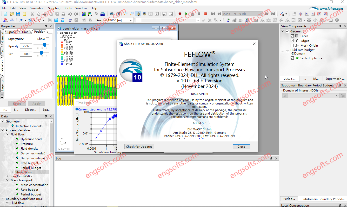
FEFLOW 10 delivers features to streamline modelling workflows, enhance visualisation and support advanced applications. Highlights include a new implicit modelling workflow for constructing geologically meaningful surfaces and structural models with ease and advanced map projection tools with online background maps for improved visual clarity. The release also introduces an extended Equation of State (EOS) for evaluating phase conditions in deep geothermal models and a streamlined standard transport formulation with an extended ‘Convective Form’ to simplify transport modelling across diverse applications, including direct Lithium extraction, aquifer remediation and geothermal storage and direct use. Available versions: 10.0.x , 8.1.x , 8.0.x ,… DHI FEFLOW 2025 v10.0 Tested Picture In this major release, FEFLOW 10.0 comes with a number of exciting new software features focusing...
Carlson 2026 is application software for land development, civil engineering, surveying, construction, GIS and mining engineering which runs with AutoCAD and IntelliCAD. The CAD engine serves as the graphics engine and drawing editor for Carlson. Carlson Survey/Civil/Mining Suite 2026 Tested Picture Carlson 2026 consists of the following programs: Survey, Civil, Hydrology, GIS, Field, GeoTech, Trenching, CAD Net, Construction, Natural Regrade, Point Clouds, Geology, Underground Mining and Surface Mining. Each of these programs can run independently or together with each other. Carlson 2026 products can be installed with (included) IntelliCAD 13.1 and 12.1 or on top of your separately purchased license of AutoCAD 2019-2026. Click here to download a PDF of improvements in Carlson 2026 products.
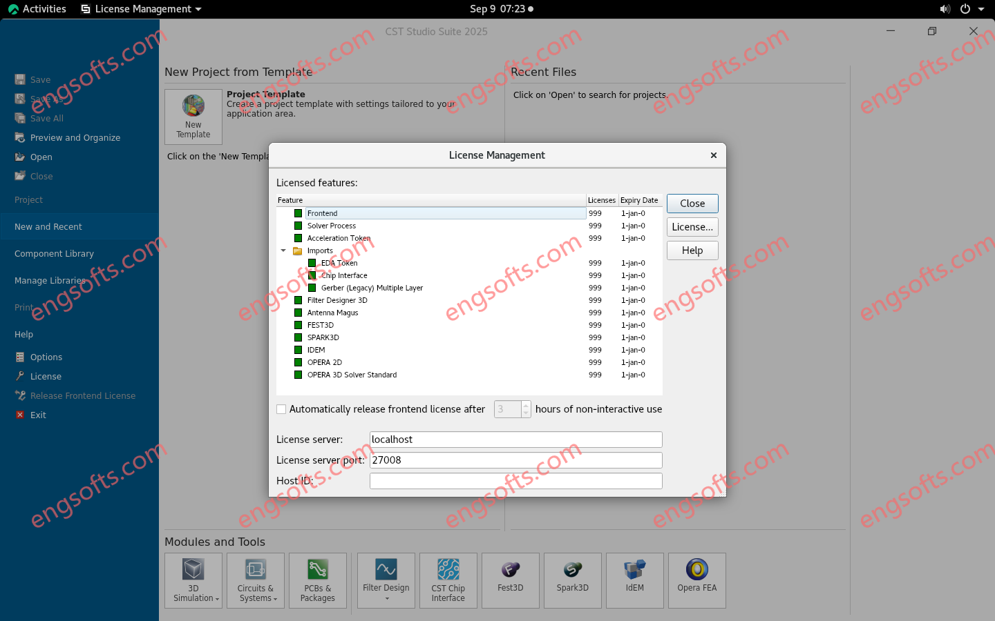
CST Studio Suite 是一款一流的电磁和多物理场仿真软件包,被全球领先的科技和工程公司广泛使用。CST Studio Suite 的求解器覆盖整个频率范围,提供丰富的工具用于产品设计、分析和优化;现在,它还可以与 3DEXPERIENCE 平台集成,实现协作工作流程。推荐使用 64 位 Red Hat Enterprise Linux 和 Suse Linux Enterprise 版本。有关支持的版本的更多信息,请参阅[此处]。 the supported OS guide. 可用版本: 2025 , 2024 , 2023 , 2022 ,… CST Studio Suite 2025 SP5 Linux64 Tested Picture CST Studio Suite 的单一用户界面集成了适用于整个电磁波谱应用的电磁场求解器。这些求解器可以耦合执行混合仿真,使工程师能够以高效便捷的方式分析由多个组件构成的完整系统。与其他 SIMULIA 产品协同设计,可将电磁仿真集成到设计流程中,并从早期阶段就驱动开发过程。 电磁分析的常见主题包括天线和滤波器的性能和效率、电磁兼容性和干扰 (EMC/EMI)、人体暴露于电磁场的情况、电机和发电机中的机电效应以及高功率器件中的热效应。 CST Studio Suite 同时支持 Windows 和 Linux 系统。在 2025 版本中,Linux 用户的体验得到了多项改进。有关功能和改进的完整列表,请参阅新版本随附的发行说明。 入门指南和示例 使用仿真进行设计决策时,正确设置模型至关重要。为了支持和指导用户,CST 提供了多本“入门指南”书籍,组件库中现在包含 500 多个可直接运行的仿真模型。这些模型可以帮助您了解最新版本 CST Studio Suite 的功能,以及如何开始建模和仿真设置。 如果您需要更多帮助,TECHNIA 提供经 Dassault Systèmes 认证的 CST Studio Suite 培训和支持。 Python CST 应用程序更新 最新版本中提供了更多 Python CST 应用程序,带来了新功能和更佳的性能。现在可以使用许多新方法编写自己的 Python 脚本,尤其是在查看 PCB Studio 和 Design Studio(CST 的原理图部分)时。对于 3D 仿真工作室/模块,大多数查询功能都已实现,包括结果获取。3D 建模仍然通过嵌入 VBA 代码来实现。 天线、射频组件和高频求解器 时域求解器 使用 T 求解器对单元结构进行(窄带)仿真,并应用 Floquet 边界条件 现在可以使用 TLM 求解器顺序激励多个同时激励列表 改进了 TLM 离散器和求解器初始化在复杂模型方面的性能 F 求解器 改进了使用四面体网格的方法的性能,尤其是在网格生成和细化过程中的曲率计算 为预定义频率采样提供多频自适应四面体网格细化选项 F 求解器 DDM(域分解方法) 进一步改进的性能 域分解求解器...
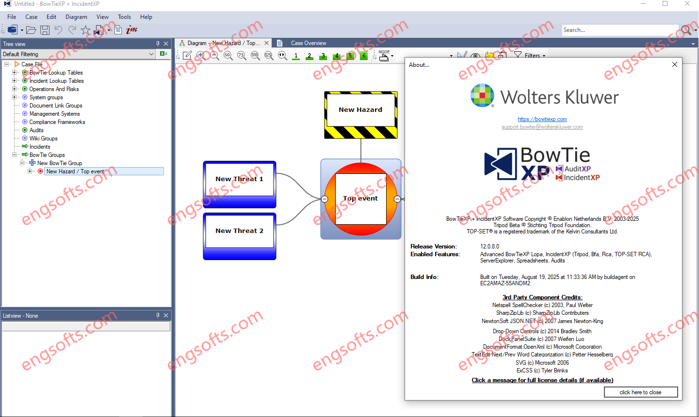
BowTieXP is the most used risk assessment software that is based on the bowtie method. It enables you to easily create bowtie diagrams to assess risk. BowTieXP is unique in its ability to visualize complex risks in a way that is understandable, yet also allows for detailed risk-based improvement plans. Available versions: 12.x ,… Wolters Kluwer BowTieXP 12.0.8 Tested Picture A bowtie diagram visualizes the risk you are dealing with in one understandable picture. The diagram is shaped like a bowtie, creating a clear differentiation between the proactive and reactive side of risk management. In BowTieXP, the bowtie diagram provides you with an overview of multiple plausible incident scenarios and shows what barriers you have in place to control these...