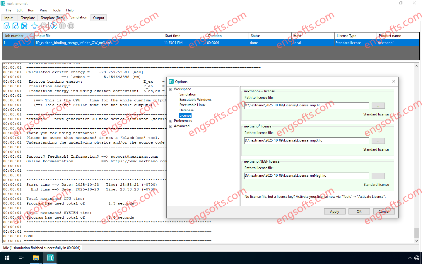
Nextnano Bundle package (contains both nextnano++ package and nextnano.NEGF package). Available versions: 2025.x ,2024.x ,2023.x ,… Nextnano Bundle 2025 Tested Picture The nextnano++ package provides you with tools for designing, optimizing, and analyzing optoelectronic nanodevices of arbitrary geometries in 1D, 2D and 3D. This package is the best choice for modelling properties of a vast number of semiconductor structures. It allows you to design optoelectronic devices made of quantum wells, wires, and dots. With the nextnano++ package, you gain access to advanced computational capabilities, which includes calculation of band structures, densities of states, charge distributions, wave functions, strain, piezo effects, optical spectra, quantized conductance, and much more. The nextnano.NEGF package is a cutting-edge package specifically designed for modelling quantum transport...
The nextnano.NEGF package is a cutting-edge package specifically designed for modelling quantum transport in planar structures. This package is the best choice for precise simulations of Quantum Cascade Lasers (QCLs) and Quantum Cascade Detectors (QCDs), Superlattices, and Resonant Tunnelling Diodes (RTDs). With the nextnano.NEGF package, you gain access to advanced computational capabilities, which includes calculation of band structures, energy-resolved carrier densities and the density of states, optical gain, output power and L-I-V characteristics, wall-plug efficiency, and much more. We are proud to say that nextnano.NEGF is truly the best commercially available tool for modeling quantum transport in QCLs. nextnano.NEGF is an advanced computational tool and the core engine of the nextnano.NEGF package. It utilizes the cutting-edge Non-Equilibrium Green Functions (NEGF)...
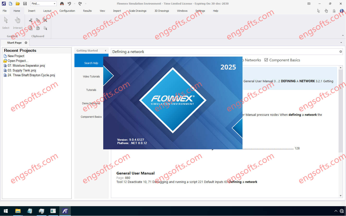
Flownex Version 9.0.4 delivers a suite of major and minor enhancements that significantly advance the robustness and usability of its 1D simulation environment. Notable developments include dedicated Nuclear Reactor Components, the implementation of the Henry-Fauske Critical Two-Phase Flow model, extended Metadata functionality and an advanced Convergence Residual Plot for steady state simulations. Available versions: 2025.x ,2024.x ,… Flownex Simulation Environment 2025 R3 v9.0.4 Tested Picture The complete Release Notes containing detailed descriptions of the enhancements in the Flownex SE Release 3 version 9.0.4 are available under the Help ribbon in the latest Flownex SE release. Pebble Bed Reactor A new Pebble Bed Reactor component has been added that allows a pebble bed reactor to be modelled more easily than using...
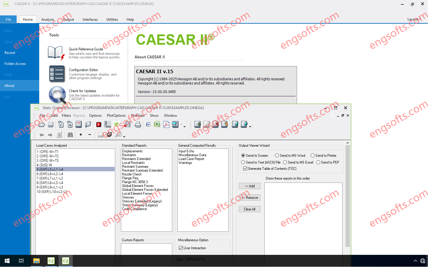
CAESAR II is the industry standard for pipe stress analysis, letting you build, assess and report on piping systems of any size or complexity in accordance to more than 35 international piping code standards with multiple editions and alternative calculations as well as many environmental and equipment guidelines. Integration with CAD design packages lets you quickly import models, reducing risk for errors and costly iteration time between CAD and Stress Analysis divisions. Available versions: 15.x , 14.x , 13.x ,… Hexagon CAESAR II 2025 v15.0 Tested Picture Features & Benefits Catalog of Industry Codes and Standards CAESAR II offers more than 50 international piping codes and calculational variants with multiple editions, in addition to many environmental and equipment guidelines. Powerful...
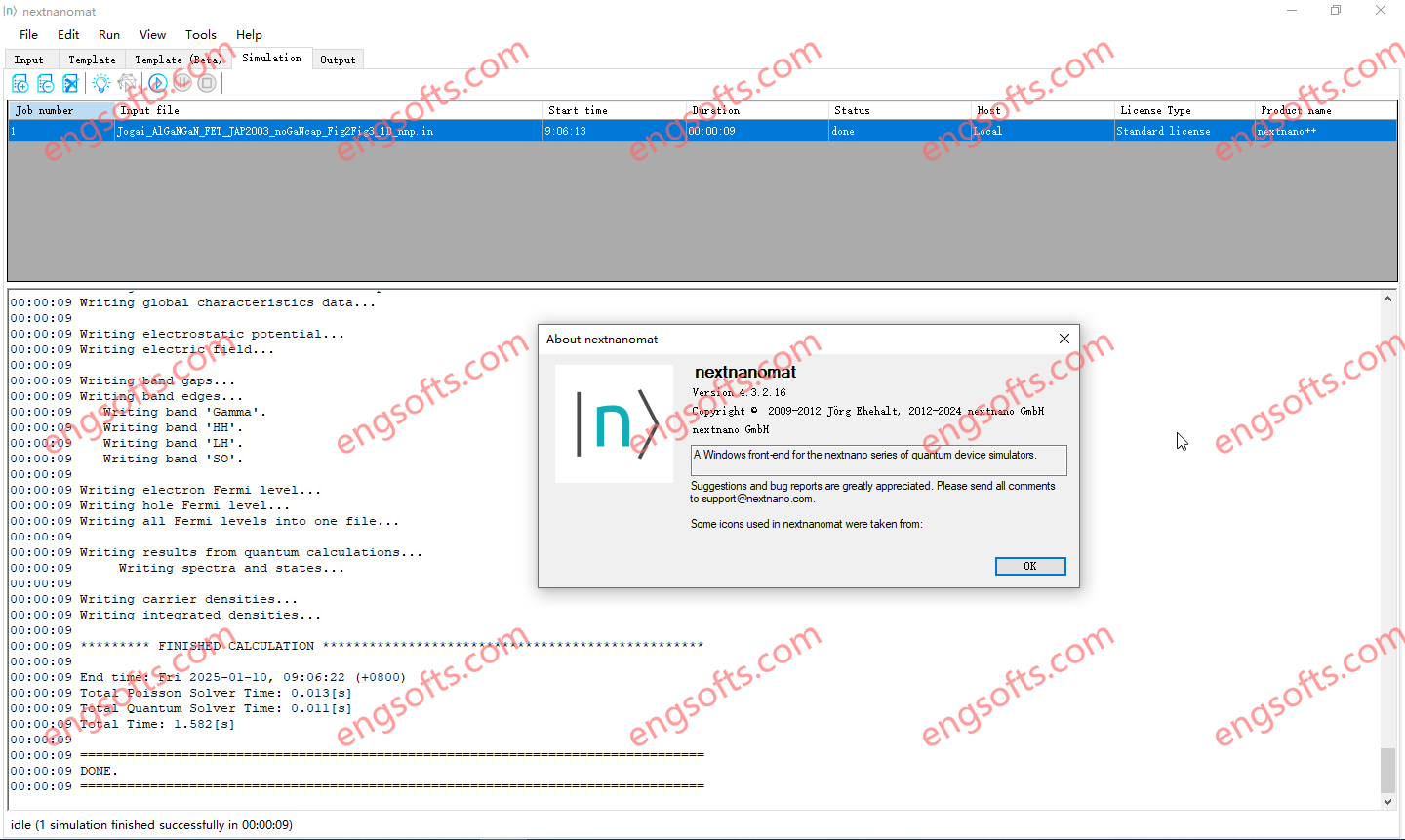
The nextnano++ package provides you with tools for designing, optimizing, and analyzing optoelectronic nanodevices of arbitrary geometries in 1D, 2D and 3D. This package is the best choice for modelling properties of a vast number of semiconductor structures. It allows you to design optoelectronic devices made of quantum wells, wires, and dots. Available versions: 2025.x ,2024.x ,2023.x ,… NextNano++ Package 2024.12 Tested Picture With the nextnano++ package, you gain access to advanced computational capabilities, which includes calculation of band structures, densities of states, charge distributions, wave functions, strain, piezo effects, optical spectra, quantized conductance, and much more. This package includes: nextnano++ nextnano3 nextnano.MSB nextnanomat nextnanopy With a comprehensive suite of advanced features including a user-friendly graphical workflow manager, seamless integration...
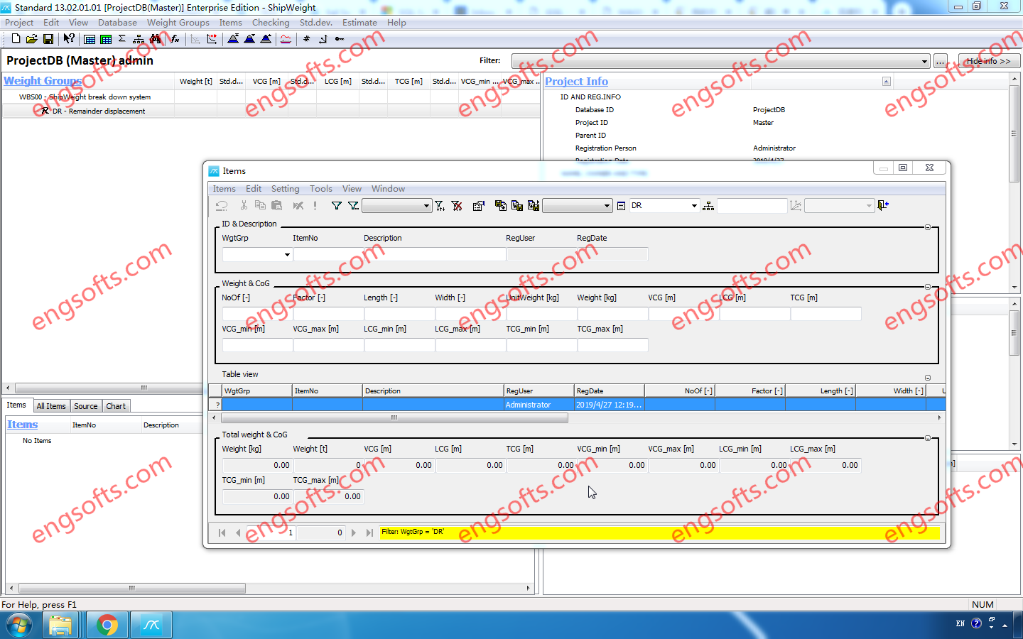
ShipWeight is a tool for all weight engineering, from early conceptual phase through basic design, detail engineering, and during construction, all the way up to delivery and beyond. In the early phase, estimation is carried out by using estimation formulas and running regression on historical data to find appropriate scaling coefficients. Available versions: 14.x , 13.x ,… ShipWeight Enterprise 14.30 Tested Picture In basic design, detailed engineering and construction phase, data is calculated on a more detailed level and integration and import from other weight information sources (like CAD) are utilized to have the most up-to-date weight information at any point in the process. Finished projects are corrected against displacement and inclining test report and exported to the historical database...
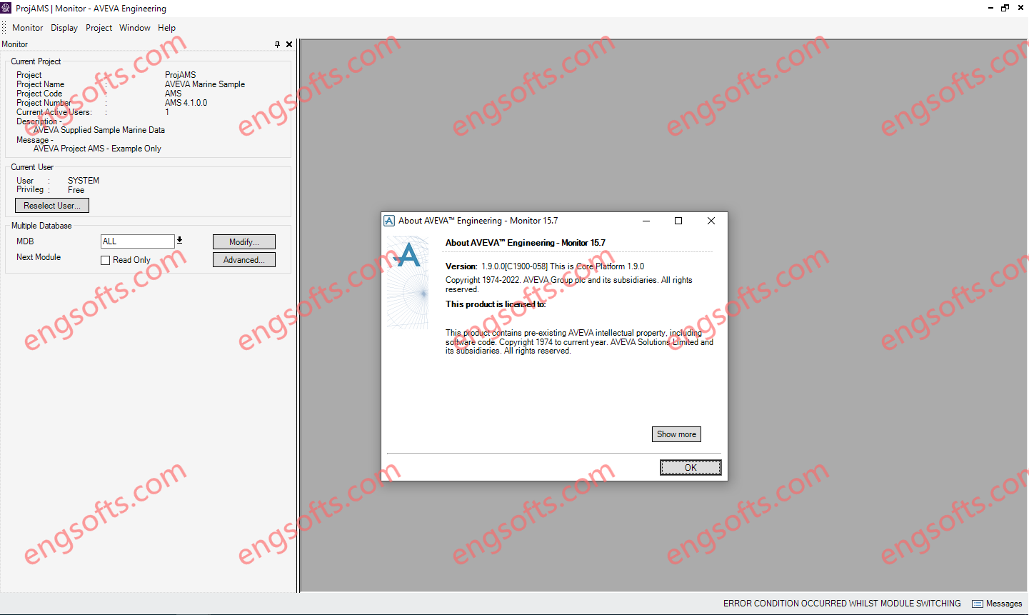
AVEVA Engineering™ enables multi-disciplinary teams of engineers to work effectively together to develop and maintain the detailed definition of all the key engineering items involved in plant or marine projects. As a project progresses, engineers build a database of its engineering objects,such as lines, equipment and valves, and all their key attributes. This object data is stored and managed in the project information model, enabling its integrationwith schematic and 3D design data and supporting global project collaboration where required. Only use License Server file,not patched file. AVEVA Engineering 15.7 Tested Picture AVEVA Engineering is highly versatile and configurable. It is typically used as an authoring tool for the process and mechanical disciplines, but is equally well suited for pipe stress,...
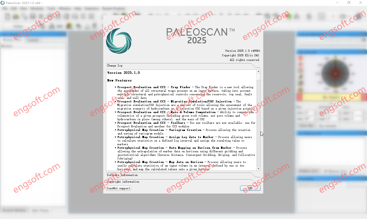
PaleoScan is a seismic interpretation software based on a semi-automated approach that produces chrono-stratigraphically consistent geological models. This unique technology, patented in 2009, allows our clients to accelerate their seismic interpretation cycle, scan the subsurface in real time to focus on high potential areas and identify hydrocarbon accumulation or CO2 storage areas… Another significant advantage of PaleoScan is its ability to produce a 3D geological model of the entire seismic cube, which allows the visualization and interpretation of the geological reservoirs as well as the overlying layers up to the seabed, in order to establish a reliable ranking of the storage reservoirs, taking into consideration the risks inherent to gas injection. Available versions: 2025.x ,2024.x ,… Ellis PaleoScan 2025.1 Tested...
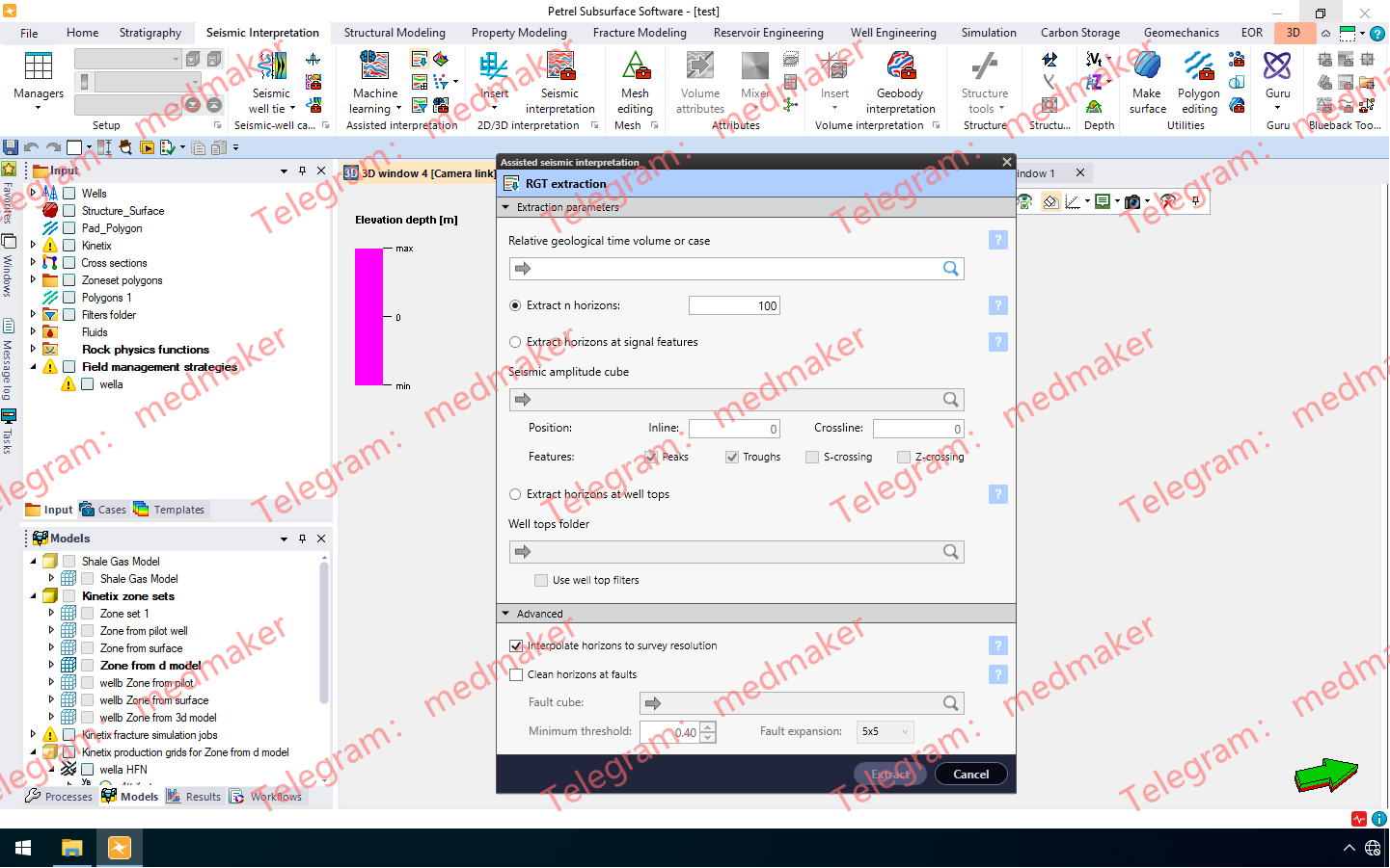
Petrel™ 地下软件为地球科学家和工程师提供了一个统一的协作工作流程平台,该平台采用一流的技术和领先的创新。 插件:Machine Learning 2024.x、Multiphysics 2024.x 及其他插件。 可用版本: 2024.x ,2023.x ,2022.x ,… Schlumberger Petrel and Studio 2024.9 Tested Picture 从地震数据处理到生产,以及碳捕获、利用与封存 (CCUS)、地热和风电场选址等新能源项目,Petrel 软件能够无缝集成所有地下领域,帮助用户制定最佳油田开发方案。 我们对技术和质量的承诺是 SLB 的指导原则之一。Petrel 2024.5 提供了领域工作流程、功能和效率方面的最新更新。它还利用 Delfi™ 数字平台的强大功能,将最新的认知技术融入您常用的地下软件中。 版本概述 Petrel 2024.2 到 Petrel 2024.5 的更新重点在于质量和稳定性方面的改进,确保平台稳健易用。在这些版本中,我们还根据用户提出的热门功能需求添加了新功能。请阅读发行说明,查看完整的改进和修复列表。 在这些版本中,您将发现以下新功能: 利用机器学习生成地质一致的层位,并进行多层位预测 使用全新的“褶皱驱动”流程预测褶皱相关的天然裂缝分布 改进的结构建模工作流程提高了工作效率和准确性 通过改进的用户界面,更高效地运行“不确定性和优化”流程 使用引导式工作流程估算盐水层中的二氧化碳容量 插入代表目标储层的多个深度面,以便在一次运行中规划多个层位的井 更多精彩功能…… 数据(Studio) Studio 2024.3 数据库刷新应用程序的可用性得到提升。表格标题中新增了“全选”复选框,方便用户轻松选择/取消选择表格中的所有行。此功能适用于数据库刷新任务和存储库刷新任务。 恢复流程已得到改进,支持不同的用户域,确保用户角色正确映射到恢复的存储库。从存储库备份恢复时,管理员现在可以在“从备份恢复外部文件”对话框中输入新旧域名。这样可以确保在用户域自备份以来发生更改的情况下,存储库恢复期间能够正确分配具有足够权限的用户角色。 Delfi Launcher 中提供了适用于 Studio Manager 的企业插件。用户可以选择在从 Delfi Launcher 启动 Studio 时包含的插件。 Studio 2024.4 为了简化数据库管理员重启 Studio 数据库服务器的过程,sks_sys.SKS_Parameter 表中新增了一行。设置此值后,Petrel 软件和 Studio Manager 的用户会收到弹出对话框通知,告知数据库管理员计划重启服务器。 默认情况下,Petrel 软件每五分钟检查一次此数据库值,Studio Manager 每 30 秒检查一次。如果数据库中设置了重启值,则在所有活动传输进程完成后,数据库连接将自动终止,用户将无法连接到数据库。服务器重启后,数据库管理员可以重置数据库中的此值,使用户能够连接到数据库。 Studio Ocean 新增两个 API,用于支持访问 Studio 软件过滤器: Repository.Filters — 获取所有过滤器,包括公共过滤器、系统过滤器和我的过滤器。 Repository.GetKeysByFilter() — 获取给定过滤器检索到的域对象的键。 AdminCoordinateService 新增两个重载方法,用于在创建后期绑定坐标参考系统 (CRS) 和简单变换时支持名称参数: AdminCoordinateService.CreateLateBoundCoordinateReferenceSystem() AdminCoordinateService.CreateSimpleTransform() 新增 API,允许在保存存储库后写入地震道样本。新增一个属性,用于控制地震文件的关闭方式。设置为 false 时,保存存储库时关闭地震文件;设置为 true 时,释放存储库时关闭地震文件。默认值为 false。 SeismicCube.KeepFileOpenAfterSave SeismicLine2DCollection.KeepFileOpenAfterSave More Information in English: Schlumberger Petrel and Studio 2024.9
WiCkeD is a comprehensive optimization platform that automates the tuning of circuit parameters such as transistor width, length, number of fins, resistance, and capacitance. It supports both pre-layout and post-layout optimization, ensuring performance consistency across all design stages. Key capabilities include: Deterministic Nominal Optimization (DNO): Optimizes performance at worst-case PVT corners. Yield Optimization (YOP): Enhances design robustness by maximizing yield under statistical variations. Monte Carlo and High Sigma Analysis: Enables deep statistical insight without the computational burden of traditional methods. Why WiCkeD Matters: Benefits at a Glance Speed: Up to 25x faster optimization cycles. Efficiency: Up to 60% reduction in power and area. Robustness: Designs are validated across all PVT corners and statistical variations. Debugging: Advanced GUI tools for parameter...