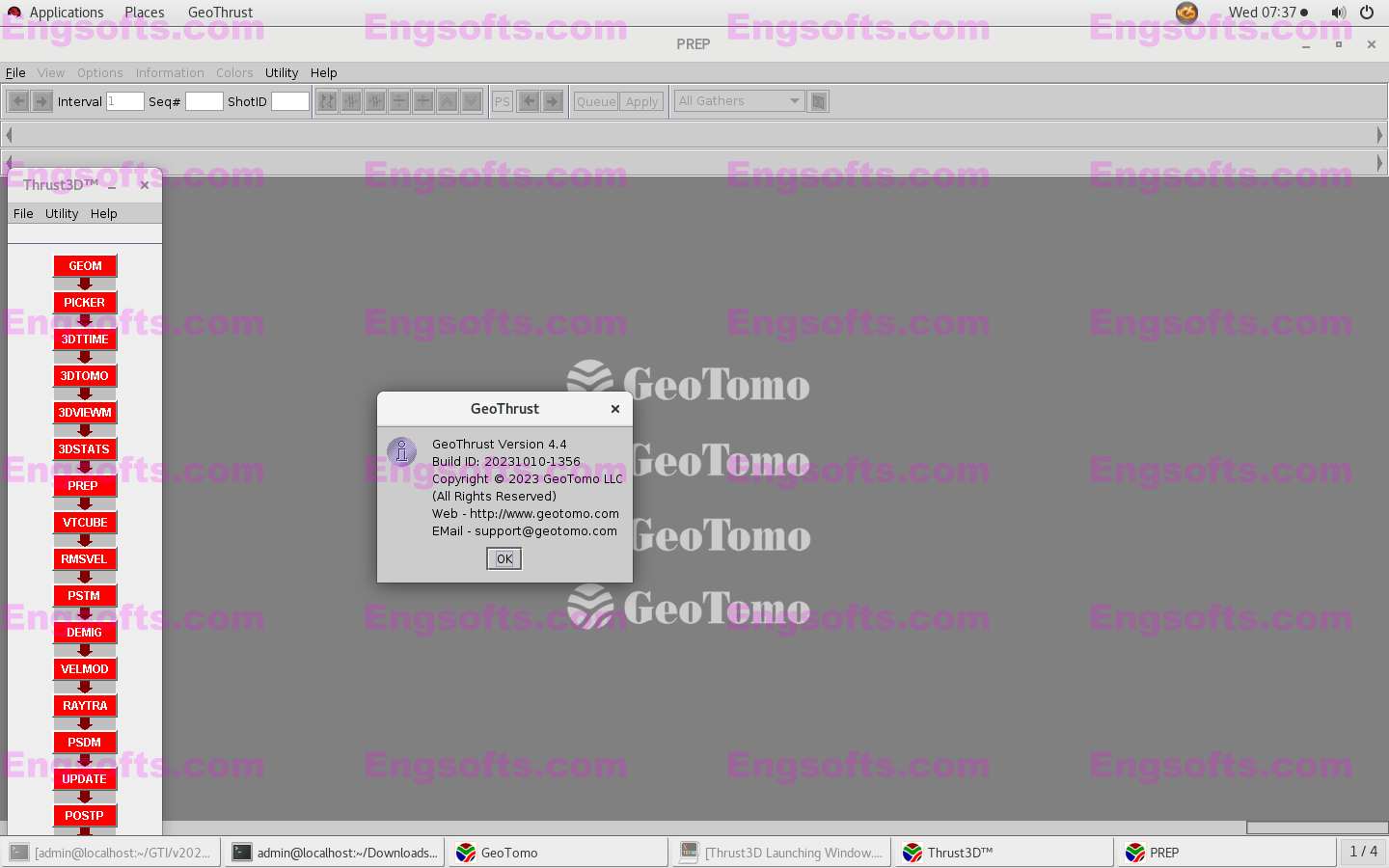
GeoThrust has been designed with a workflow architecture to obtain an accurate earth model and earth image in time and in depth from data recorded with irregular geometry in areas with rough topography, complex near-surface, and complex subsurface, with uncompromisingly high technical specifications for data analysis and quality control, but easy to learn and easy to use.
DISTINCTIVELY UNIQUE FEATURES
- The near-surface model is estimated by nonlinear tomography applied to first-arrival times that accounts for topography and resolves lateral and vertical velocity variations.
- Aside from statics corrections, the corrections for the near-surface are performed by wavefield datuming — an essential requirement for imaging from irregular topography.
- GeoThrust performs subsurface velocity estimation, modeling and imaging from topography, not from a flat datum, based on rms and interval velocities estimated at reflector positions, not at reflection positions.
- The system provides the analyst with powerful interactive tools to perform quality control of geometry and for appropriate specification of signal processing parameters, and image-based picking rms and interval velocities using four different strategies.
- The system is based on a workflow architecture that manages the project for the analyst and allows the analyst to focus on the geological and geophysical aspects of the project.
ANISOTROPIC TIME IMAGING (PSTM)
- First Arrival Traveltime Tomography based near-surface statics
- Migration velocity, gradient, and anisotropic parameters scan along horizons
- Target –oriented multiple attenuation
- High-amplitude, random, coherent noise attenuation
- Kirchhoff / Wave Equation Migration from Topography
- Crooked-line Imaging
ANISOTROPIC DEPTH IMAGING (PSDM)
- First Arrival Tomography / FWI Near-surface Model
- Reflection* / Fast Beam Tomography* Subsurface Model
- Tomo-holistic Depth Image Model
- Kirchhoff / Wave Equation / RTM* / Gaussian Beam Migration*

