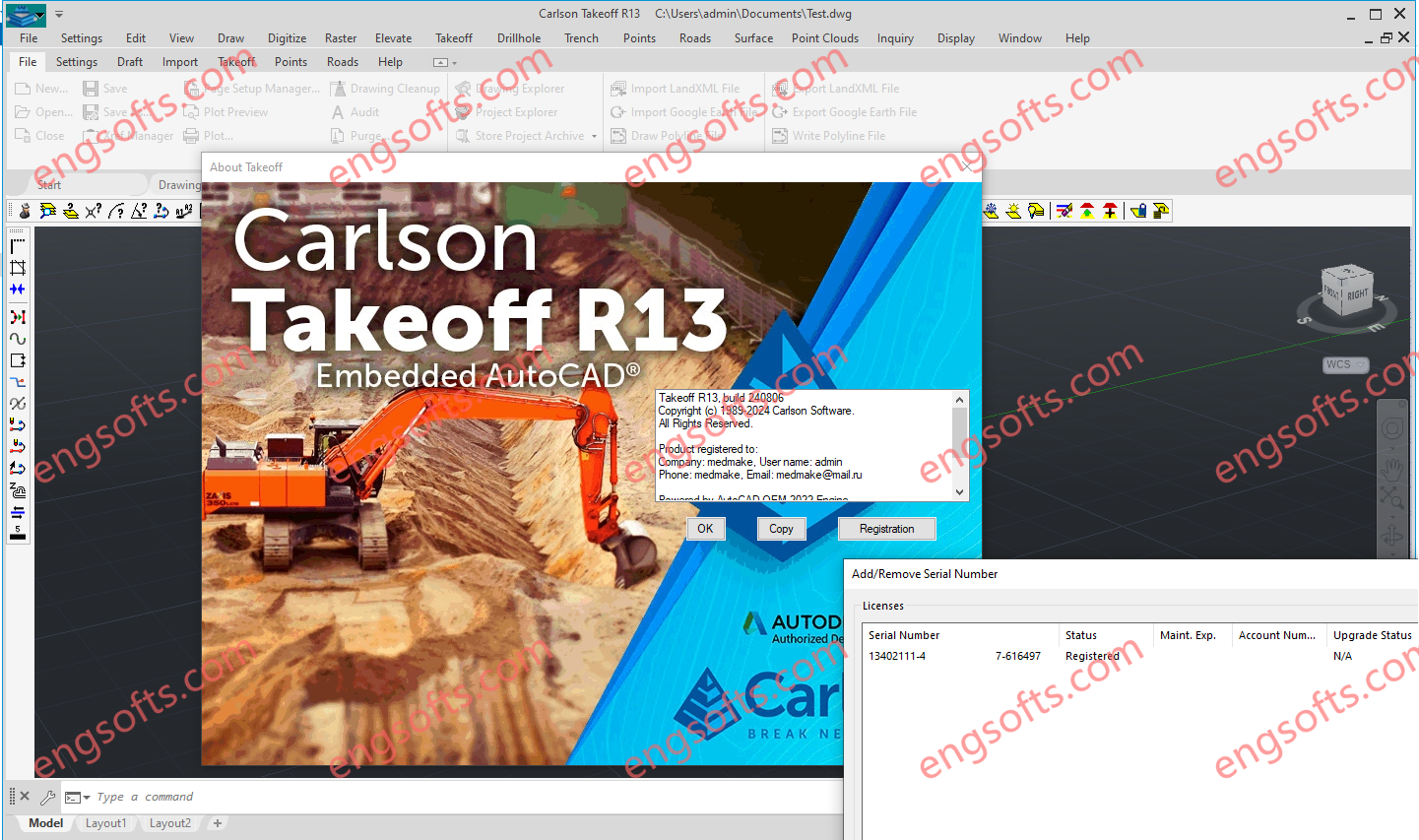
Carlson Takeoff with embedded AutoCAD (OEM) includes the same functionality as the Takeoff Suite and modules Carlson Construction, Carlson CADnet, Carlson GeoTech & Carlson Trench except that it includes an embedded version of the current AutoCAD OEM software and different menu configuration.
Carlson Construction serves as the cornerstone of Carlson’s suite for contractors, offering comprehensive volume reporting and visualization tools to ensure accurate project management.
Carlson Takeoff Suite R13 Tested Picture
With features like 3D Drive Simulation and seamless integration with CAD platforms, Carlson Construction streamlines road construction and facilitates seamless transition to fieldwork, ensuring precise stakeout and machine control implementation.
Carlson CADnet empowers users to seamlessly transform non-CAD documents like PDFs and raster images into CAD format, with tools for cleaning up text and linework. It offers commands for digitizing contours, spot elevations, areas, profiles, and cross sections, while recent updates enhance its capabilities with features like exporting drawing entities to 3D PDF files and importing/exporting BIM models, providing a comprehensive solution for CAD conversion and integration.
Carlson GeoTech is a module that allows the user to enter data from borehole data and model the resulting strata surfaces.
Strata surfaces derived from borehole data offer valuable insights for calculating Strata Cut, Topsoil Removal, or Over-Excavation of materials.
Once these surfaces are generated, they seamlessly integrate into standard features like Calculate Total Volumes, Quick Profile, Surface Inspector, and Cut/Fill Labels. Advanced Settings empower users to select various modeling methods, ensuring the creation of the most precise Strata surface possible.
Carlson Trench makes it easy to input data for pipes, trenches, and manholes.
Trench reports can be customized to include comprehensive details such as cut volumes, backfill quantities, linear footage of pipes categorized by size and material and additional information.
Trench reports can be validated using pipe profiles, viewing pipes in 3D view and plotting a depth zone color map.


评论前必须登录!
注册