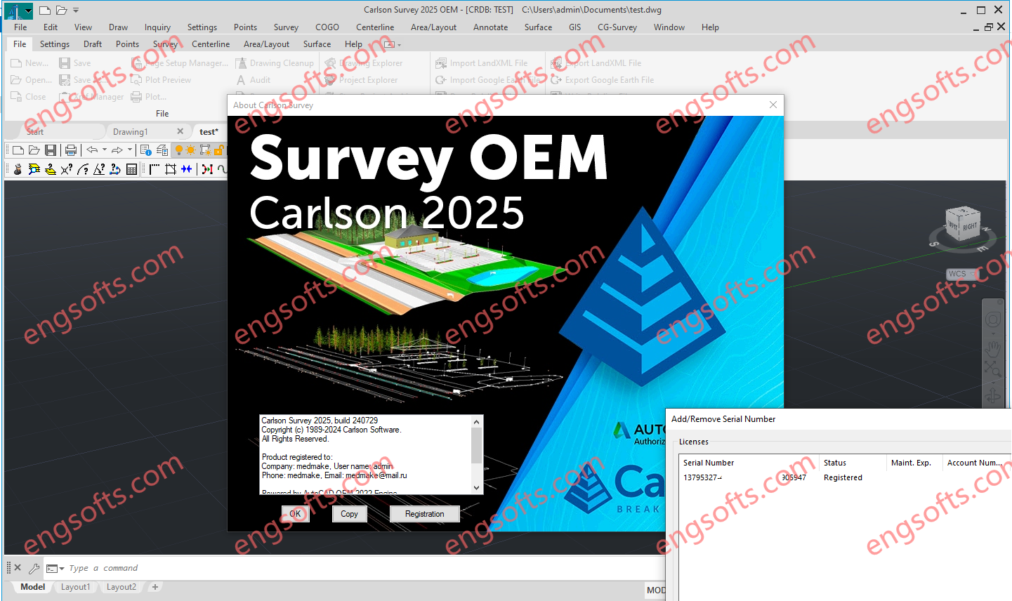
Carlson Survey with embedded AutoCAD (OEM) runs standalone with an embedded version of the current AutoCAD OEM software.
Carlson Survey includes features that are comparable to the survey and GIS components of programs such as: DCA/Softdesk/Land Desktop, AutoCAD Map, Civil 3d, Eagle Point, TerraModel, GeoPak and InRoads.
Carlson Survey includes features that are comparable to the survey and GIS components of programs such as: DCA/Softdesk/Land Desktop (retired), AutoCAD Map, Civil 3d, Eagle Point (retired), TerraModel (retired), GeoPak and InRoads.
Carlson Survey also includes all the menus and functionality of the retired C & G Software program.
Carlson Survey OEM 2025 Tested Picture
In addition to the functionality of the CAD-platform it’s running on top of and the identical functionality available in the first 7 menus of all Carlson Desktop Software, Carlson Survey offers all the desktop drafting, calculation and mapping abilities a land surveyor needs.
Additionally, the drawing and data files such as Coordinate (CRD) and Field Codes (FLD and FCL) can be shared and used directly by Carlson’s field data collection software SurvPC and (retired) SurvCE.
With Carlson Survey, users are able to:
- import and export data files for Civil 3d, Land Desktop, LandXML, Trimble, Topcon, Google Earth and more
- import and adjust raw data files using various methods including least squares analysis, Compass , Crandall and Transit
- perform all COGO-related queries and staking calculations
- perform survey-related tasks such as translations, map and deed checks and closures, point setting and staking, blunder detection, legal description writer and deed correlation
- perform a limited scope of GIS-related tasks that include importing and exporting shapefiles and importing MrSID or other geo-referenced imagery and feature data
- create and manage points in the drawing or in the CRD file editor
- use Field to Finish to draw points, symbols and both 2D and 3D linework for plan production and model building
- create and manage surface model triangulation files from field data or importing from Google Earth or other sources
- calculate earthwork volumes for pads, stockpiles or between two surfaces and calculate adjustments required to balance cut and fill
- view and perform quality checks on surface model files in various 3d viewers including a 3D Fly By
- create and manage horizontal alignments
- create and manage profiles of ground elevations, roadways, sewer pipes and crossings
- design and map single parcel boundaries or networks of subdivision lots that dynamically adjust to accommodate building footprint and setback restrictions.


 ID:956575828
Must log in before commenting!
Sign Up