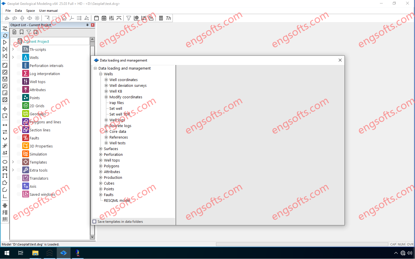
Geoplat Seismic Interpretation isan interactive, high-speed tool for analyzing and interpreting 2D/3D CMP data in conjunction with field survey results. Geoplat Pro-S Integrated interpretation of geological, geophysical and production data. Available versions: 25.x , 24.x ,… Geoplat SG 2025 v25.3 Tested Picture Problems to be solved 1.Loading, storing and analyzing the quality of 2D/3D CMP seismic data together with the results of field research 2.Stratigraphic referencing of seismic horizons with analysis of geological information content of reflecting boundaries and their attributes 3.Detailed identification and tracking of reflecting horizons and tectonic faults in manual, semi-automatic and automatic modes, mapping 4.Calculation and analysis of a wide range of cubes and maps of kinematic and dynamic attributes of seismic records, seismic facies maps,...
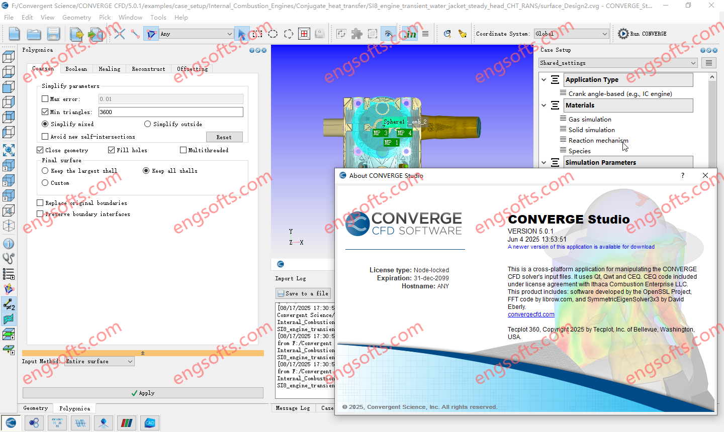
Convergent Science recently released CONVERGE 5, a new major version of their CONVERGE CFD software. The new version offers expanded modeling options for a wide range of industries and applications, as well as new solver enhancements and pre-processing capabilities. Available versions: 5.x , 4.x , 3.x ,… Converge Studio 2025 v5.0.1 Tested Picture Speed & Accuracy Improvements Under-Relaxation Steady Solver CONVERGE 5 includes many new models and features targeted to benefit certain application areas. The solver contains a new real-fluid model that can accurately represent fluids in both their gaseous and liquid states using a single equation of state. This capability is crucial for capturing the complex mixing and combustion dynamics within liquid rocket combustors. Version 5 additionally contains a...
The Trimble Inpho UASMaster software module combines ease of use with the full power of a photogrammetric workstation. Create powerful deliverables from images collected with UAS (Unmanned Aircraft Systems) aerial mapping and surveying systems. Available versions: 15.x , 14.x ,… https://engsofts.com/wp-content/uploads/2025/08/Trimble.UASMaster.15.1.1.mp4 Trimble UASMaster 2025 v15.1.1 Tested Video Users of UASMaster version 15 gain a competitive advantage by delivering projects with higher accuracy and quality, setting a new standard in the industry. Precise Modeling The introduction of RealRay technology in version 15 ensures the highest level of precision achieved in georeferencing, significantly reducing errors caused by environmental factors. RealRay technology is integrated into the complete mapping workflow (nadir imagery) allowing high-altitude flights, oblique flights, or challenging mountainous terrain. UASMaster delivers consistent...
Trimble Photogrammetry including ApplicationsMaster, MATCH-AT, MATCH-ATpushbroom, inBLOCK, MATCH-T DSM, MATCH-3DX, DTMaster, DTMaster BuildingAddOn, DPMaster, OrthoMaster and OrthoVista Available versions: 15.x , 14.x ,… https://engsofts.com/wp-content/uploads/2025/08/Trimble.Photogrammetry.v15.1.1.mp4 Trimble Photogrammetry 2025 v15.0.5 Tested Video Aerial imagery project workflow improvements MATCH-AT: Now with new Trimble RealRay technology, a sophisticated mathematical model designed to precisely estimate and correct image distortions caused by factors such as atmospheric refraction, mapping projection and geoid impacts MATCH-T DSM / MATCH-3DX: More comprehensive LAS and LAZ file support means that Point Data Record Format (PDRF) and ExtraBytes are supported throughout the complete workflow MATCH-3DX: Improved reconstruction of thin structures such as power lines, railings and masts. Mesh conversion processes are enhanced by the delivery of an optimized color adjustment as well as the faster conversion...
Easy5 simplifies the construction and analysis of such systems with a graphical, schematic-based application. A comprehensive set of pre-packaged components, stored in application-specific libraries, simplify the assembly of a representative model and facilitate quick and accurate system simulation. Engineers work within a familiar schematic drawing paradigm to add and specify data connections between components in an intuitive, simple-to-use, multi-level hierarchical modeling environment. Available versions: 2025.x , 2024.x , 2023.x , 2022.x ,… Release Highlights of Easy5 2025.1 New Mass Dynamics (MD) Library A new application library (Mass Dynamics, or MD) has been added. The components in this library supersede similar components in other Easy5 application libraries (Thermal Hydraulics, Gas Dynamics, Multiphase Systems and Electrical Systems). Mass dynamics components formerly in...
Sentieon Genomics software is a set of software tools that perform analysis of genomic data obtained from DNA sequencing.The Sentieon Genomics software enables rapid and accurate analysis of next-generation sequence data. The Sentieon® DNAseq pipelines enable germline variant calling on hundreds of thousands of samples simultaneously. The Sentieon® TNseq pipelines enable accurate calling of somatic variants in paired tumor-normal samples or in an unpaired tumor samples. The Sentieon® Genomics software produces more accurate results than other tools on third-party benchmarks with results obtained in one tenth the time of comparable pipelines. Available versions: 202503.01 , 202308.01 , … Sentieon Genomics 2025.03 Linux Tested Picture Release 202503 Type Description Feature Added support for hybrid short and long-read variant calling. Feature Added...
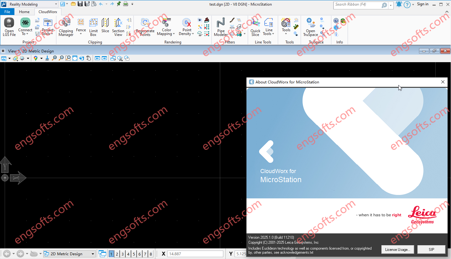
Leica CloudWorx for Bentley is the most efficient and popular plug-in software for using as-built point cloud data – captured by laser scanners – directly within Bentley MicroStation, AECOsim Building Designer and OpenBuildings Designer. Available versions: 2025.x , 2024.x , 2023.x ,… Requirement:Microstation CONNECT Edition V10.16-10.v17 , Microstation 2023-2025 Leica CloudWorx 2025.1 for Bentley 2023-2025 Tested Picture Users take advantage of the familiar Bentley interface and tools to shorten the learning curve for working with laser scan data. Leica CloudWorx let Bentley users efficiently visualise and process large point cloud data sets. Users can create accurate 2D and 3D as-builts, check proposed designs against existing conditions, and perform critical construction & fabrication QA, and more… all directly within Bentley. In...
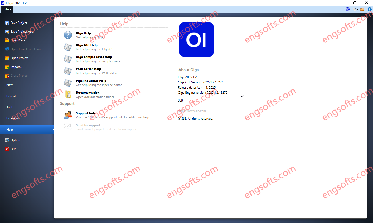
The Olga dynamic multiphase flow simulator models transient flow (time-dependent behaviors) to maximize production potential. Transient modeling is an essential component for feasibility studies and field development design. Dynamic simulation is essential in deep water and is used extensively in both offshore and onshore developments, to investigate transient behavior in pipelines and wellbores. Transient simulation with the Olga simulator provides an added dimension to steady-state analysis by predicting system dynamics, such as time-varying changes in flow rates, fluid compositions, temperature, solids deposition, and operational changes. Available versions: 2025.1.2 , 2024.2 , 2024.1 , 2023.1 Schlumberger OLGA 2025.1.2 Tested Picture As part of our ongoing commitment to excellence, we continuously strive to enhance our product. This latest version brings multiple improvements,...
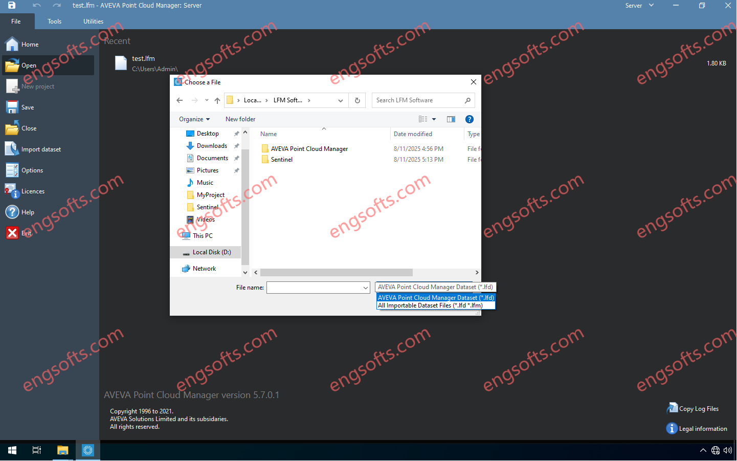
AVEVA Point Cloud Manager uses 3D point cloud data—captured via LiDAR or photogrammetry or other methods—to create an accessible, detailed, secure digital twin. Perfect for brownfield, greenfield and maintenance projects, it ensures alignment between physical and digital assets to enhance decision-making, reduce rework, and improve operational safety. Available versions: 25.x , 24.x , 5.x ,… AVEVA Point Cloud Manager 5.7.0 Tested Picture AVEVA Point Cloud Manager Features Support the digital twin Secure and trusted reality capture data can be shared between engineering and operations teams in the web browser or supported 3D design applications, ensuring everybody works from a single source of truth. Intelligent point cloud with AI AVEVA Point Cloud Manager, when deployed through CONNECT, includes intelligent AI tools...
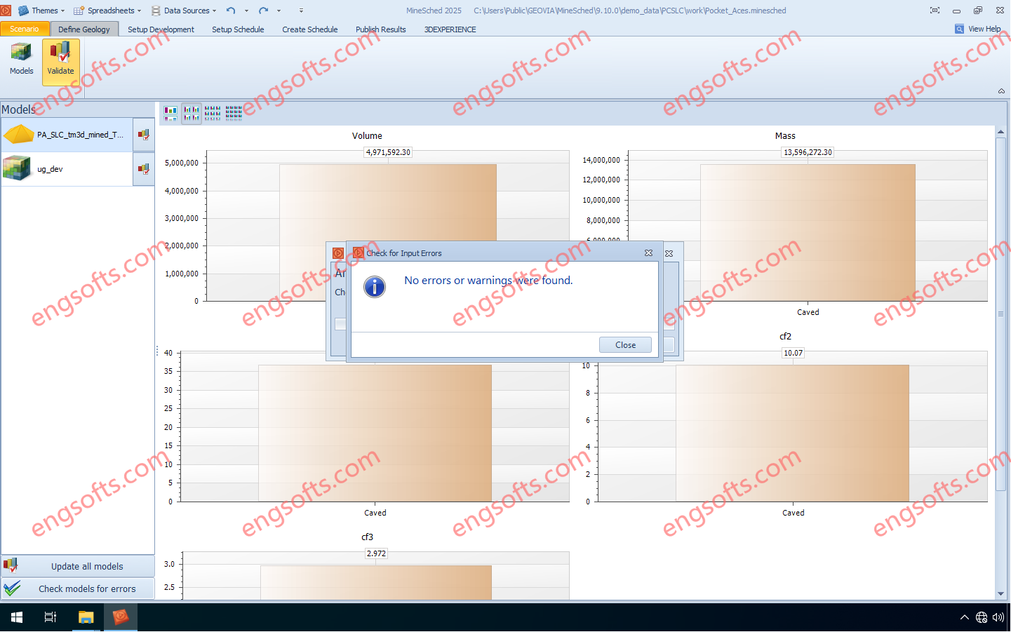
GEOVIA MineSched makes developing a tactical mine plan — a plan that turns the decisions defined in a long-term strategic mine plan into a schedule to guide day-to-day operations — breathtakingly easy by providing intuitive, rapid setup, and guided workflows that enable the creation of target-based, long- and short-term schedules from pre-created block and polygon models. Available versions: 2025.x ,2024.x ,… Geovia Minesched 2025 Tested Picture GEOVIA Tactical Mine Planner Produce practical and executable tactical mine plans from a long term strategic plan, for the optimal development and exploitation of the ore body. For open pit mines, accepts and schedules any number of pits For underground mines, supports scheduling of development advance as well as stope production Heuristic algorithms for...